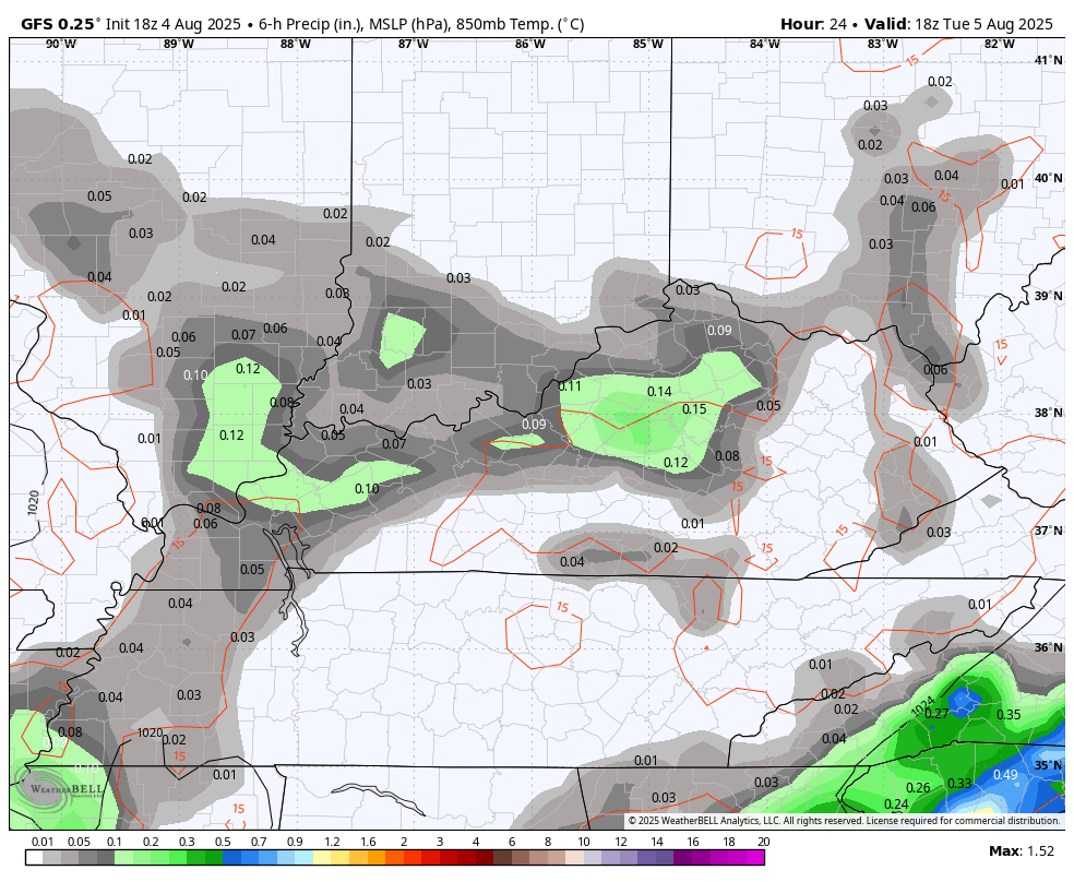
Good Tuesday, everyone. A weak area of low pressure is pushing across the region today and it’s bringing a few showers and storms along for the ride. Scattered showers and storms remain in the coming days as temps get closer to normal.
The low spinning on top of us produced a small band of flooding rains in Illinois and Indiana Monday and there’s a chance we see that in our region today. The Weather Prediction Center is showing the low-end flash flood risk today…
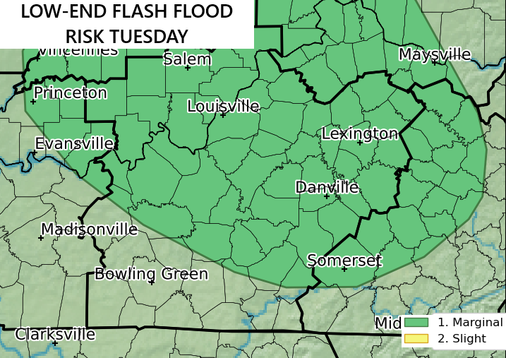
Here’s your warning map to follow anything that goes up…

The potential for more in the way of scattered showers and storms is there through the week into the start of the weekend. Scattered is the word when describing this…
Temps gradually get it back closer to normal with mid and upper 80s.
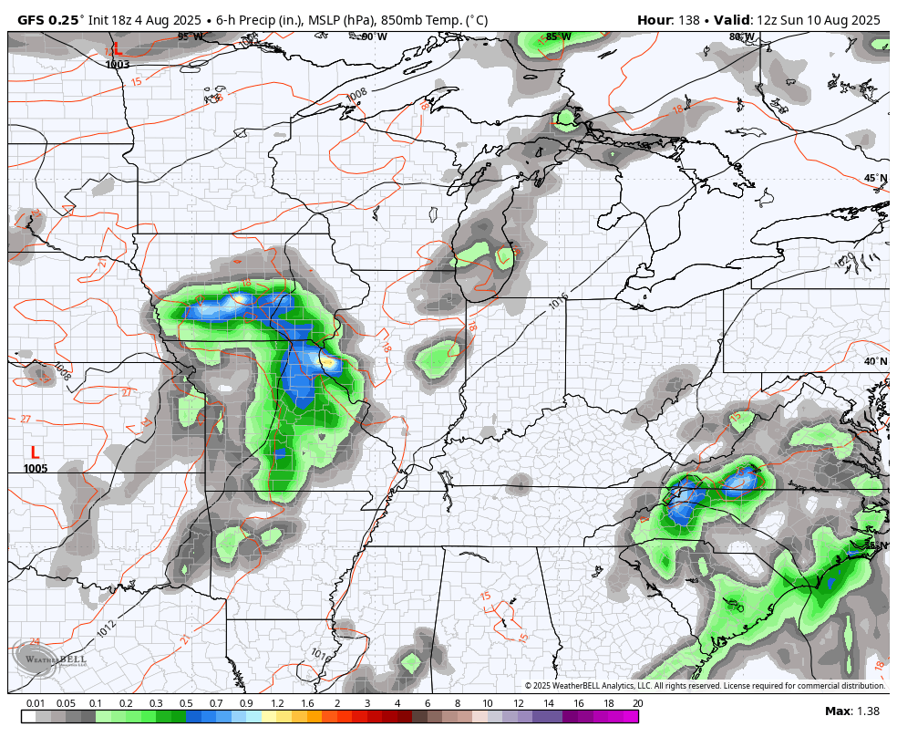
From there, a cold front looks to move in early next week with a little tropical moisture along and ahead of it. Here’s the GFS from Sunday through next Wednesday…
Much of what happens after this will surely depend on the tropics. Things are really coming to life with Tropical Storm Dexter churning away from the USA…

The National Hurricane Center is watching for additional development over the next week, including one big system coming off the coast of Africa…

The models are going to throw a lot of scenarios out there with these kind of systems and none of them should be given much credence from this far out. Still, they are hinting at something approaching the southeast as we get into the middle of the month.
I’ve talked about how this pattern was likely to amp up with the leadup to Labor Day Weekend looking particularly busy.
Here are your tracking tools for the day…


Current watches

Possible Watch Areas

Make it a terrific Tuesday and take care.

Thanks Chris. With the ” Caribbean Sheer ” in place, as of now. Forecast for Tropical development has decrease slightly, but it only takes one Cat. 5 Hurricane making landfall to make it an active season.
https://tropical.colostate.edu/Forecast/2025-07.pdf
Scathered Rain showers are the normal for this time of the year, but for some reason, wherever I’m living the Rains tend to miss my area. LOL..
Correction to my first post. shear not sheer.
Ready for 90s to return 🙂
Jeff, the worse heat wave I’ve ever experience was in early September, 1962. High temperatures broke 100 degrees. We were let out of school, because the school I went to did not have any air conditioning. When the heat wave was over, we went directly into Autumn weather, and then right into Winter, which was very cold and snowy. Many days we were let out of school, because of snow slick roads.