Good Wednesday, everyone. Many areas got in on some much needed rains on Tuesday and this pattern looks to be changing toward the wetter. Two big fall cold fronts sweep across the state in the coming days with thunderstorms and beneficial rains.
Scattered showers and storms will go up again today as highs reach the upper 70s to low 80s for most of Kentucky.
The first fall cold front blasts across the Bluegrass state on Thursday with a healthy round of showers and thunderstorms along and ahead of it…
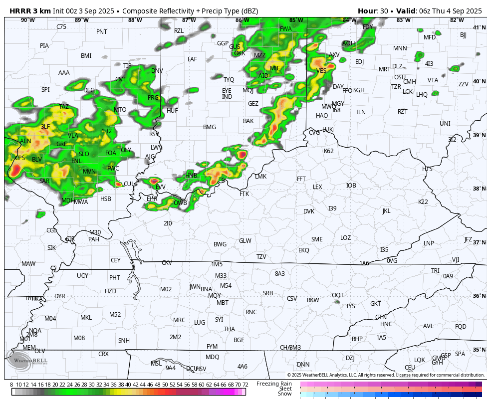
These storms can put down locally heavy rains and there’s even a low-end severe storms risk across the southeast and east. The Storm Prediction Center has this area highlighted…

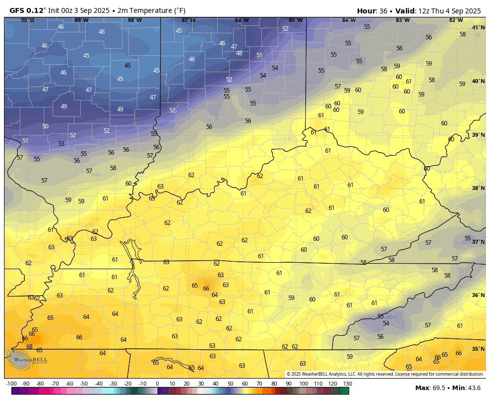
With our without severe storms, winds will be very gusty and may hit 35mph at times as the front moves through. Temps will be held way down with 60s for areas dealing with the lingering rains… This temp animation starts at 8am Thursday and goes through 11pm…
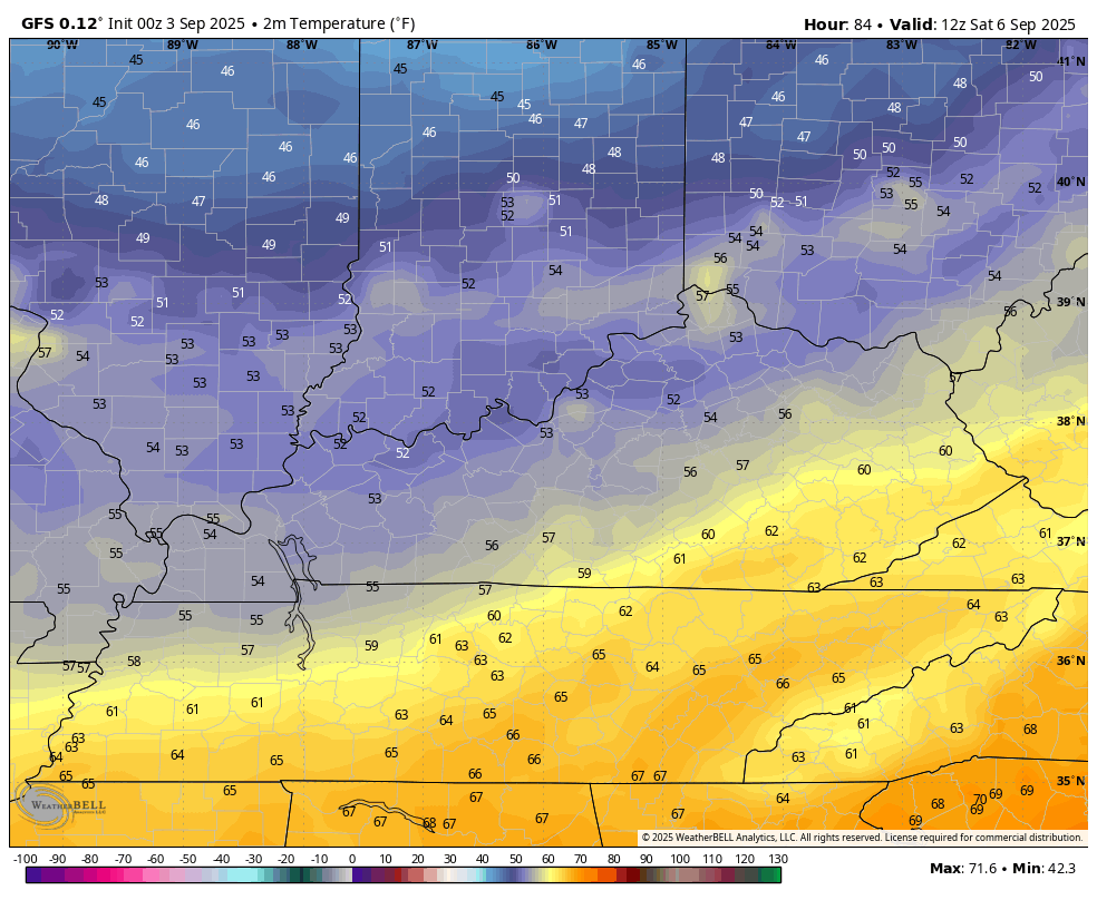
Friday has a quick temp rebound on a strong southwest wind ahead of an even stronger fall cold front arriving Friday night and Saturday. This boundary brings more in the way of showers and thunderstorms during this time. Watch how all this plays out on the Canadian…
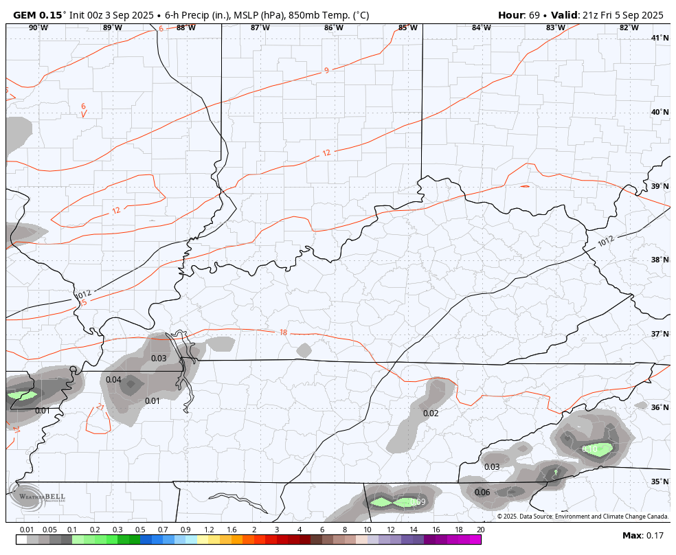
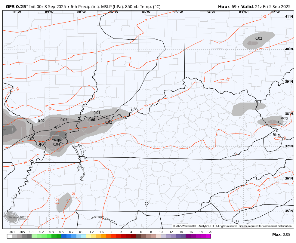
The GFS is slower with the front and actually tries to keep some rain going into Sunday across the southeast…
Saturday’s temps will once again be held way down with the GFS going with the full-blown Pot of Chili…
Crisp early October air will be with us through Sunday with another system at some point next week.
I leave you with your storm tracking toys for the day…


Make it a wonderful Wednesday and take care.

Thanks Chris. Late Yesterday Afternoon my Area of Taylor County Received about a Half Inch of that Much Needed Rain. I Wish Every Areas of the State Would have Received the Same, but It Seems Like Anymore the Rains are Widely Scattered. Hoping those Cold Fronts coming Slow Down Given us more Chances of Widespread Rains.
Adding to the Aboved : ” Mother Nature ” Always Balances Out Both Temperature and Precipitation. Hoping that It’s this Autumn and Not During the Winter Months. Nothing More Depressing than a Warm and Wet Winter.
Tropical Cyclone Activity Could begin Later this Month and Could Continue into November. I Remember” Hurricane Kate, ” which occurred in Mid November. Forgot the Year though.
” Hurricane Kate ” Occurred in November 1985. Here’s the Link :
https://www.wpc.ncep.noaa.gov/tropical/rain/kate1985.html
Here’s another reminder that you don’t need cold weather to make chili.
A ” Pot of Chili Alert ” is Just a Sign that Chris uses to Warn Everyone that Colder Weather May Be on the Way. Doesn’t Mean you Have to Make Chili Only when it Gets Cold.
Yesterday, sometime during the afternoon, I had my headphones on and was on my laptop and I thought I kept hearing my garage door come up. I went to look and as I walked through the house I realized it was POURING rain. I was shocked because I didn’t think the rains were scheduled yet. It lasted maybe 10 min’s
I didn’t Read My Rain Guage correctly, by Guessing the Amount from Indoors. We received 0.8 “. A Great Start to Ending this Month Long Drought.
Why the Tropics are So Quiet. High Pressure. Here’s the Link :
https://climateimpactcompany.com/north-atlantic-basin-week-2-5-outlook-east-pacific-outer-atlantic-active-western-north-atlantic-basin-below-normal-tc-risk-2-2/