Good Tuesday, everyone. It’s another day of starting out with record or near record lows across Kentucky, but the pattern is slowly beginning to change. This change will bring warmer temps in later in the week and there’s a chance those warmer temps can fire up a shower or storm.
Temps this morning will likely be back into the low and mid 40s for many areas, potentially tying or breaking a few record lows that were set all the way back in 2024. 🙂
Monday morning brought the earliest upper 30s I can remember seeing here in the Bluegrass State…
30s in early September? In Kentucky? Yep. Two of the Kentucky Mesonet sites dropped into the upper 30s this morning with many others coming close. #kywx pic.twitter.com/Vu8qxwlVdJ
— Chris Bailey (@Kentuckyweather) September 8, 2025
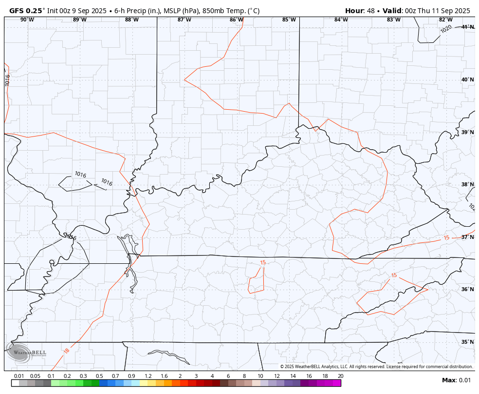
Highs this afternoon hit the middle 70s central and east and 75-80 in the west. Upper 70s to low 80s will be noted Wednesday and Thursday as lows are still cool in the upper 40s and low 50s. There is a sneaky little chance for isolated showers and storms to go up during this time, especially in the west and central. Some of the models are coming around to this idea…
Low to middle 80s will be noted this weekend as we watch the northwestern sky for a few late weekend showers and storms. The Euro is once again the most enthusiastic with this chance that increase ahead of a cold front dropping in early next week. The EURO then follows that up with a similar system later next week…
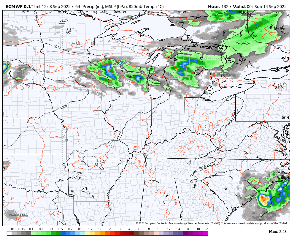
That type of scenario would certainly bring some much-needed rains to our region so let’s hope the Euro is sniffing this our properly.
Have a terrific Tuesday and take care.

The temps are great. The dryness (not so much) I could NOT believe that last front waited just until it got past Lexington to start energizing and firing storms. I was like “are you KIDDING ME?”
Hoping the Euro will be correct in their predictions for rains.
During the past 10 weeks only trace amounts of rain has fallen over central Warren County, where trees have been losing leaves prematurely, adding more fuel to the already tinder dry forests. Burn bans are in place across the Commonwealth, but the brush and forest fire danger is the worst I’ve seen in over a decade. We all need to keep alert. If you see smoke, don’t hesitate, report it at once!
Jeff, looks like the 90’s are coming back for a few days starting Thursday
Just as I thought.