Good Saturday, everyone. Summertime temps are back in the Bluegrass state this weekend, but those toasty temps should bring a few friends along for the ride. Scattered showers and storms drop in from the north and northwest tonight and Sunday.
These showers and storms won’t impact everyone by any means with the best chance being across central and western Kentucky. Here’s a rough outline of who has the best chance of seeing storms from this evening into Sunday…
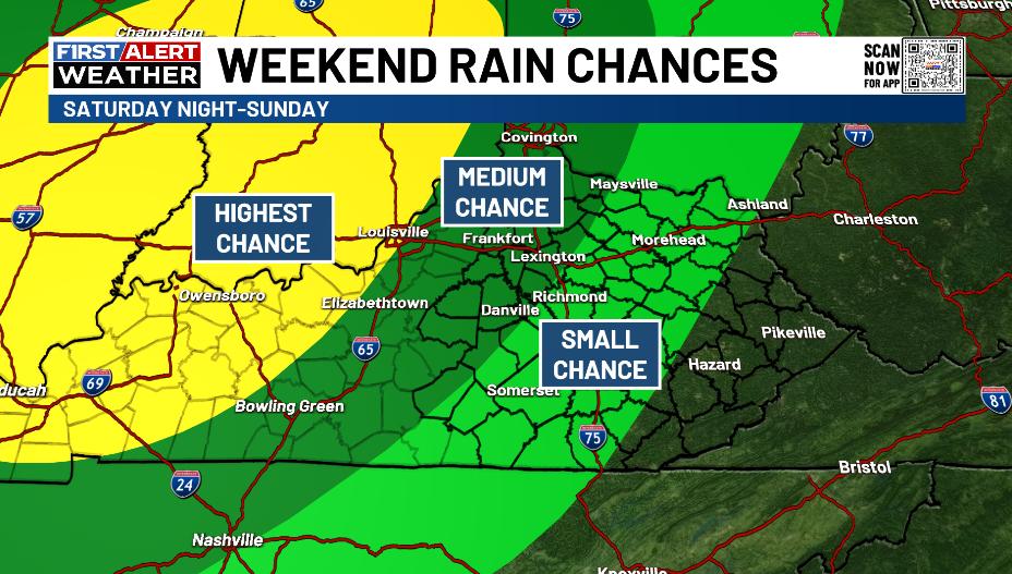
As mentioned before, some of this may even press back toward the southwest.
There’s a low-end risk for a few severe storms this evening, especially to our north and northwest. Here’s today’s Severe Weather Outlook from the Storm Prediction Center…

Monday into Tuesday look to be the toastiest of the bunch and that’s especially true if a system off the southeast coast works back toward the west a bit. That could bring some showers and storms into the east by the middle of the week.
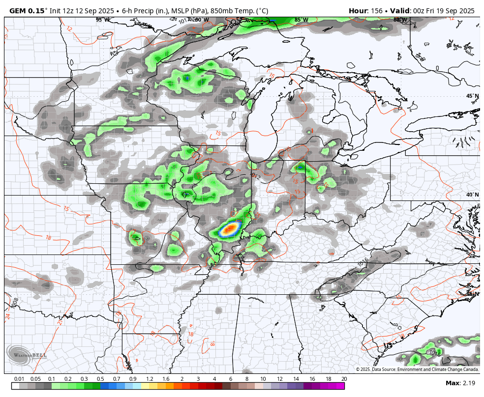
From there we watch a system dropping in from the northwest late in the week and weekend. This looks to bring a decent shot at rain to go along with much cooler temps.
Here’s the Canadian from Thursday evening through next weekend…
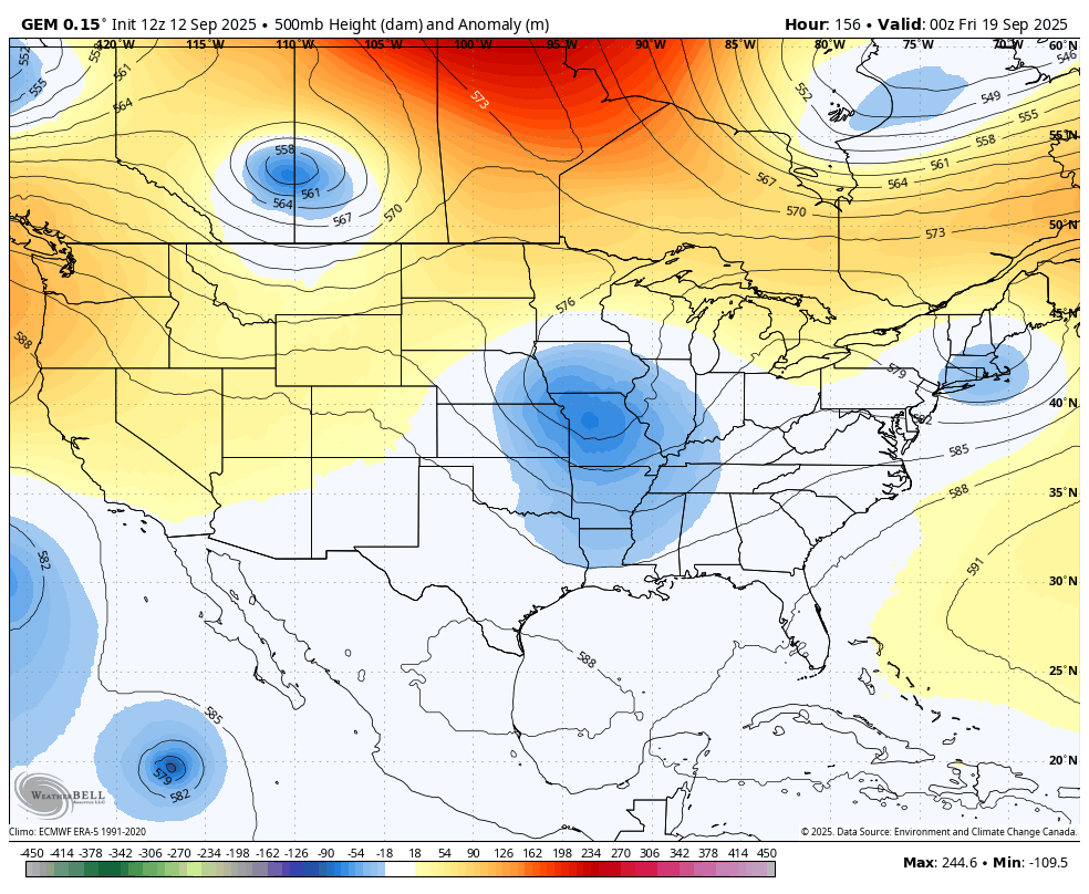
Remember that blocking I’ve been talking about showing up across Canada? Check out the trough dropping in underneath it and into the eastern half of the country…
The tropics continue to run quiet but a system coming off the coast of Africa is being given a good chance to develop…

I leave you with your isolated storm tracking toys for the day…


Have a sensational Saturday and take care.

The longest stretch of comfortable temperatures since I been living in Kentucky, but in contrast the longest dry spell I’ve ever experience here. Like the temperatures, it will balance out, but the drought may get worse before getting better. May be a Fall and early Winter full of precipitation. We shall see.
On the GEM model, that undercutting trough looks interesting. I wish it’s center core was a little farther south though. Maybe later this Winter ?
The disturbance off the West Coast of Africa is currently being hindered by a dry and stable atmosphere, but is forecast by the end of next week to form a tropical depression as it moves west / northwest into the tropical Atlantic. Will see how this one turns out ? I would like to have a storm to track.
It’s so ironic. We are still above normal for the year and yet so so dry. The driest I remember was 1999 (I THINK) that summer was sooo hot and dry and continued into the fall. I felt like it would never rain again.
The rain will eventually return, but hopefully not too much at once.