Good Friday to one and all. Changes are slowly showing up out there today as the threat for scattered storms returns to western Kentucky. This kicks off a slow transition into a much wetter pattern for later this weekend and, especially, next week.
Today’s showers and storms are rather scattered as they move into the west. Temps are toasty once again as some clouds roll across the rest of the Commonwealth. I’ll have your Kentucky Weather Radars to time out the scattered stuff later in this post.
Isolated showers and storms develop on Saturday as moisture increases across Kentucky and surrounding areas. A much better chance for scattered showers and storms will enter the picture Sunday and Monday.
This animation from the GFS shows all this from Saturday night through Monday evening…
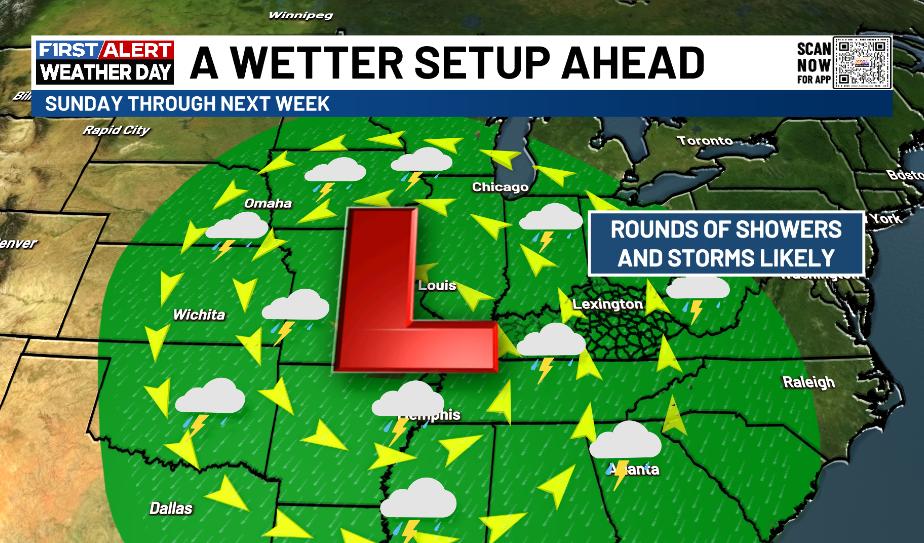
The setup next week features a slow-moving low pressure moving into the Mississippi Valley from Tuesday through Friday. The exact placement of this system is a work in progress, but the pattern may look a little something like this…
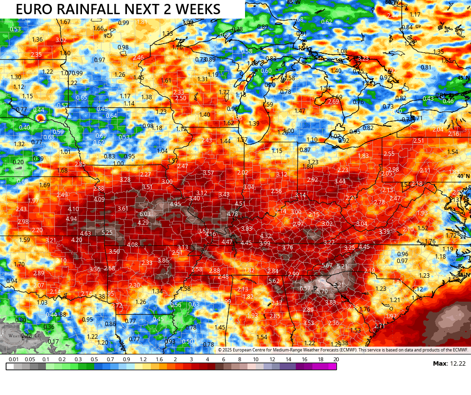
The forecast models continue to show a setup that can put down quite a bit of rain in and around our region over the next few weeks…
The EURO AI has been the most consistent model in showing this setup, even as others waffled a bit. Here’s what it now has over the next 2 weeks…
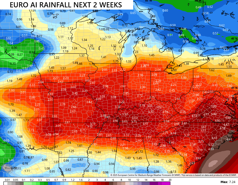
I think many of us would take that and be happy with it.
In the tropics, Gabrielle continues to strengthen but will be another fish storm that stays well out in the Atlantic…

There’s another system coming off the coast of Africa that the National Hurricane Center is watching…

As always, I leave you guys with your friendly tracking toys. ay…


Have a fantastic Friday and take care.

I don’t think the EURO AI pans out.
I don’t think it will either Jeff. All weather models are incorrect. I can’t believe them anymore.
Thanks Chris. In the latest forecast from the NWS out of Louisville, most of next week’s predicted rains will be along and north of the Ohio River, which leaves most areas south of the Ohio River out of any real relief from this on – going awful drought, but we will take every drop that falls. I wish now ( too late ) that I would have retired to Michigan, where one can enjoy cooler Summers and have moderately Cold and ( lake effect ) Snowy Winters even in La Nina years, which seems to dominate our climate these many years. Also, Michigan doesn’t have tornadoes near the Great Lakes, where as Kentucky is in ” Dixie Alley ” for tornadoes, both in the Spring and Fall.