Good Tuesday to one and all. Severe storms with beneficial rains rumbled across the state Monday and we have more rounds coming our way the next few days. Additional waves of strong to severe storms will be noted with additional rounds of heavy rains.
Today’s action won’t be as concentrated as what we had Monday, but a few storms will go up from time to time. Many hours of the day are dry, but the chance for strong to severe storms will be with us into areas of western and south central parts of the state.
That’s where the Storm Prediction Center has the low-end risk for a few severe storms today…

The threat area focuses farther to the east later tonight through Wednesday night. The Storm Prediction Center expands this risk to include most of Kentucky tomorrow…

Once again, it’s the potential for damaging wind that’s the primary player…

The tornado risk and the large hail risk continue to run much lower…


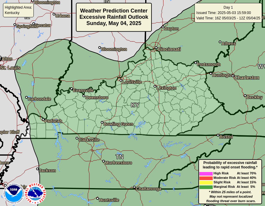
These storms will also continue to put down tremendous amounts of rain that can lead to local high water issues.
Today’s threat is greater in the west…
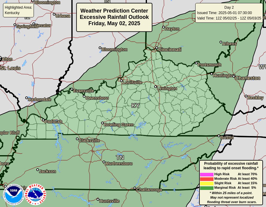
This threat increases across the entire state Wednesday…
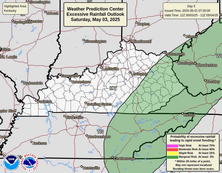
By Thursday, we find this threat diminishing from west to east…
Lingering showers and storms will be possible Friday but what happens after this remains a bit of a mystery and the tropics have a chance to get involved. Gabrielle is moving away, but two systems sliding underneath may develop and come close to the east coast…

Much of what happens with the weather in the eastern half of the country may hinge upon exactly what happens with these systems next week.
I will have updates as needed today and on my Meteorologist Chris Bailey Facebook Page
Until then, here are your storm tracking tools for the day…


Current watches

Possible Watch Areas

Make it a terrific Tusday and take care.

Regarding the two tropical waves, the one depicted in red has better chances for development, but is also more likely to end up as another fish storm, since prevailing winds at all levels are trending southwest to northeast. The orange storm may make it to the Eastern Caribbean, but strong shear in the area will preclude strengthening.
In terms of rainfall, Central Warren County has received light accumulation so far, with 0.75″ in my PWS rain gauge since Sat evening. It has not put a dent in the local drought conditions, and burn bans remain in effect county-wide. Area trees continue to shed leaves with little color change. I cannot remember needing to rake leaves this early in the season, and have collected 9 lawn and leaf bags worth, so far.
I just made a comment and I found another word that completely removes the comment and doesn’t allow it to post if that word is used. What is that word you ask? P-a-s-s-e-d, Yes, if you use that common word the system thinks it’s a bad word. SO STUPID. I wonder how many comments are actually made and people just give up? I’ve never seen a comment section with that level of trigger with words.
ANYYYYway …… Yesterday we did get rains and some loud thunder, but I felt like we were mostly on the edge where it just skirted my part of the county. I don’t have a gauge. I’d say maybe 1/2 inch. The airport did get over an inch.
This morning my PWS is showing 1.46 and I’m happy for every drop.
I’m hoping to hear from Schroeder that he finally saw some rain there in Maple.
Dottie, we had a lot of loud thunder and vivid lightning, and ended up with .75 ” Hoping for much more rain through the week. We shall see.
We’re basically going to need a washout Wednesday or this whole system is going to be yet another underperforming drawn-out “wait for it” symphony.
September and October are our driest months on average, so the odds don’t favor us getting a break from any drought conditions. But we will see..