Good evening, everyone. Historic rains produced flooding issues across many areas of the state with the greatest emphasis along the Interstate 64 corridor. As the rains slowly taper in the east, cooler winds blow in some awesome weather for the rest of the week into the weekend.
Flash flooding issues plagued the Louisville Metro to the Lexington metro as a corridor of 4″-6″ rains set up. This was one of the wettest days every recorded for both cities…
Harrodsburg/Clays Mill area pic.twitter.com/j6GzBJtsPg
— JMS12592 (@JMS12592) October 7, 2025
@WAVE3Weather @BGoodeWAVE3 @Kentuckyweather Incredible! 6.5″ at my house in Hikes Point in Louisville! #kywx pic.twitter.com/A9ejkiIQKM
— Jeff P (@Jeff_Pile) October 7, 2025
The fact the NWS never had a Flood Watch in effect at any point in this event is astounding and should never happen. Here’s hoping they take a look at how they dropped the ball on this and fix whatever issues they find. This wasn’t a surprise thunderstorm that just suddenly dumped a ton of rain… This was a well-advertised heavy rain event from a low pressure.
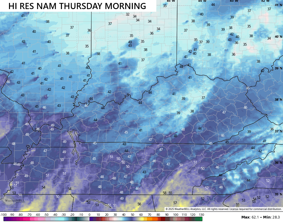
Cooler winds blow in behind all this tonight and Wednesday with awesome air for the rest of the week and weekend. Highs generally run from the mid 60s to low 70s. Lows by Thursday morning will generally be 40-45 but some models are trying to take a dip into the upper 30s…
I leave you with your daily dose of tracking toys…


Make it a great evening and take care.

I recorded 4.62 for the day. Squires and Alumni area.