Good Monday, everyone. It’s another awesome, but boring weather week across the Commonwealth. The boring part looks to change by the weekend as a very active pattern takes shape across the country. This will throw several systems our way through the rest of October.
Highs in the 70s are common today through Wednesday before coming down a bit in the central and east by Thursday and Friday as a backdoor cold front moves through. This is a good week to get out and take in some of the fall colors that are showing up. Here’s a look at where the best colors are this week…
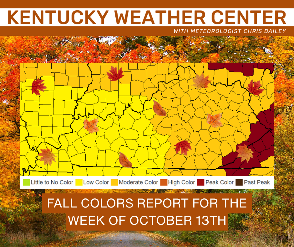
Bring on all the fall colors!
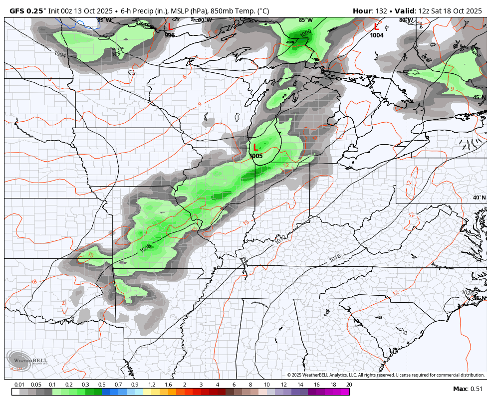
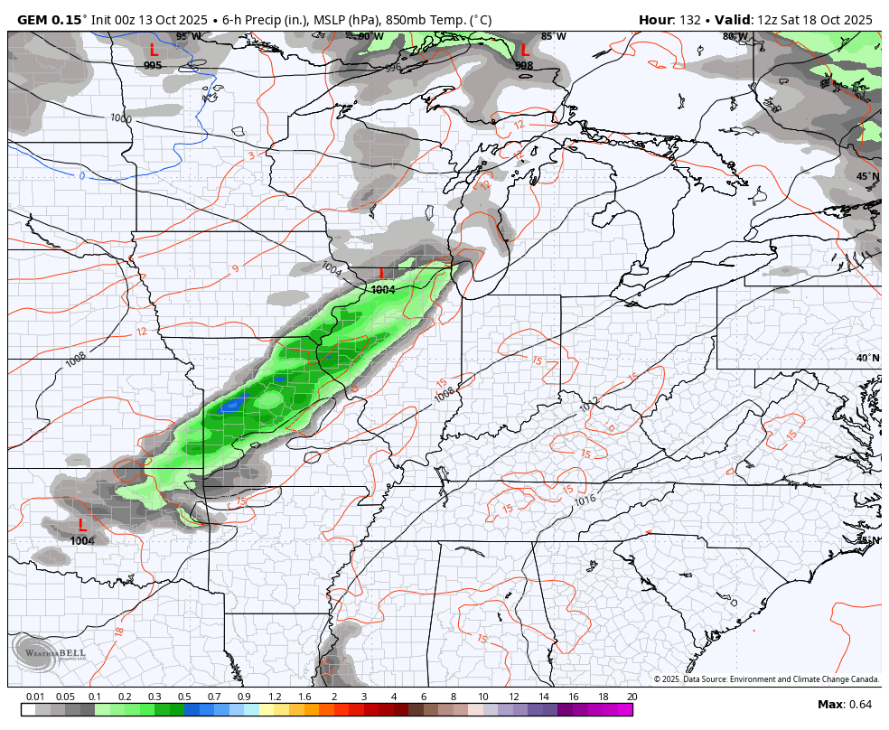
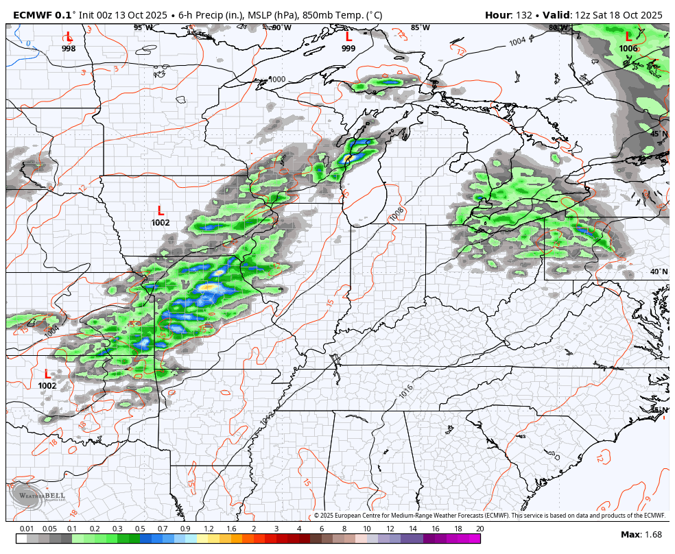
Bring on the fall storm systems, too. The first sweeps in here later Saturday into Sunday with gusty winds and some healthy rain producing showers and storms. The chance for a few strong storms is even there.
The models are pretty similar with this. GFS…
CANADIAN…
EURO
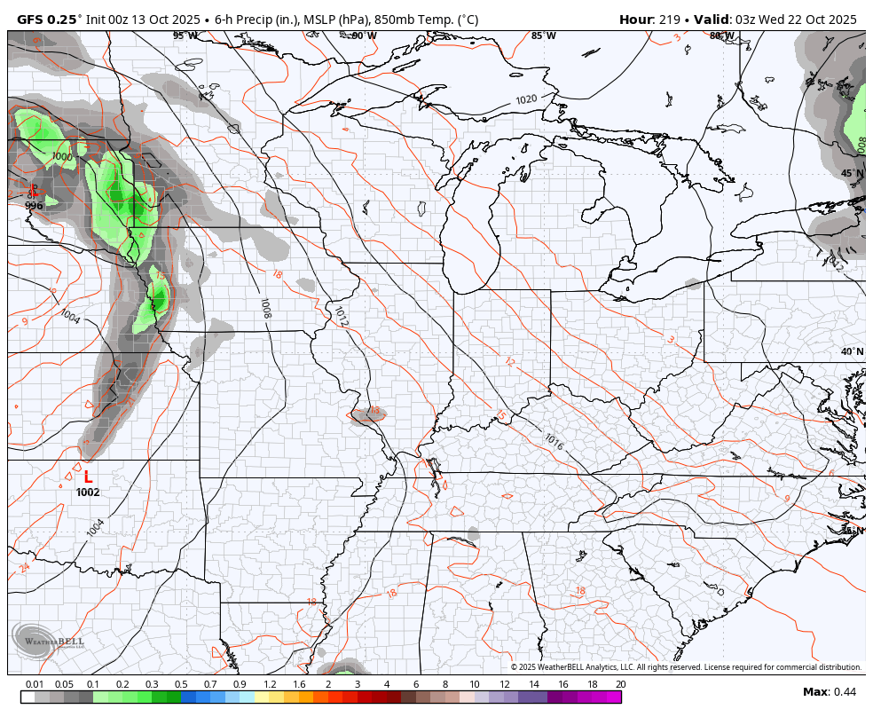
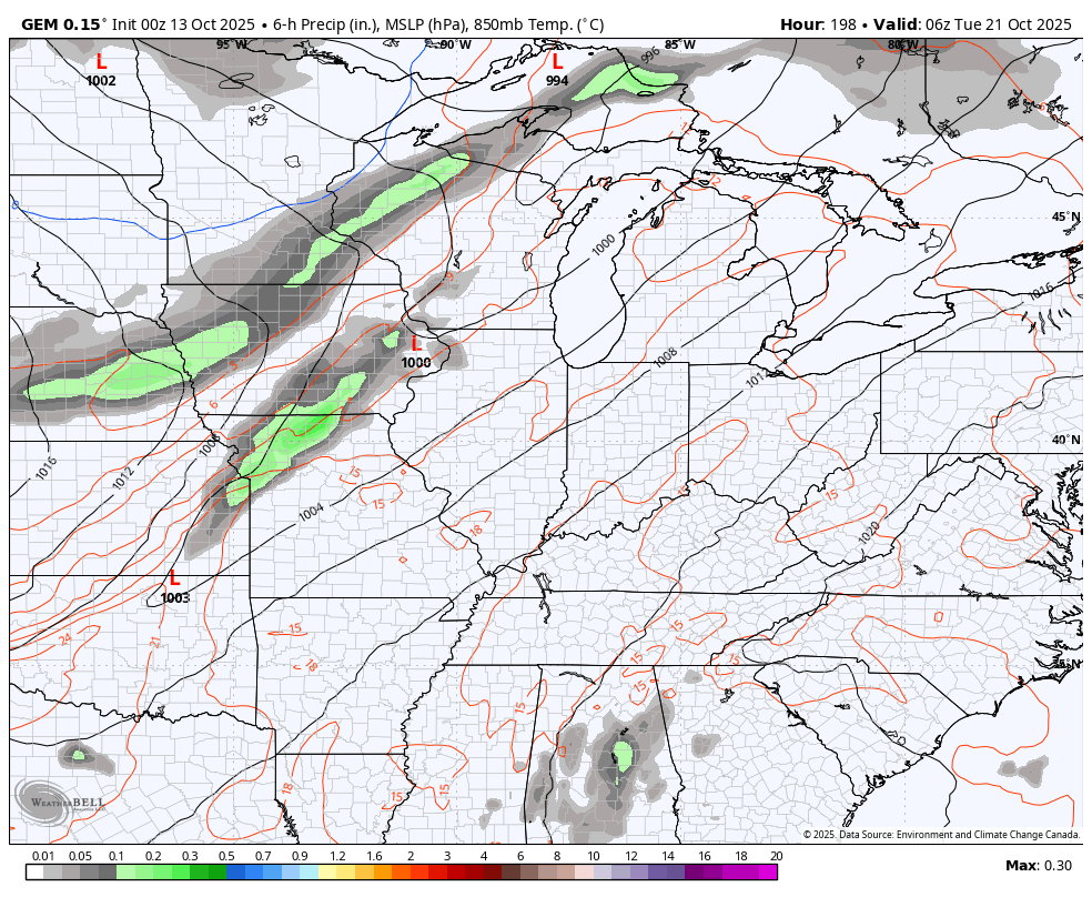
This will be followed up by another windy and wet fall storm system by the middle of next week…
GFS
CANADIAN
These systems are rolling across the country like bowling balls, courtesy of a very busy upper-level pattern. This animation starts this Saturday and goes through October 27…
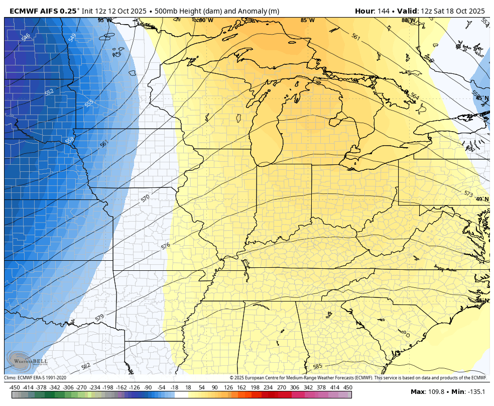
With such an active jet stream, expect some wild model variations in the coming days.
Have a magnificent Monday and take care.

The fall colors in Pennsylvania and Maryland are amazing too (work trip views). Looks like this forecast gives me a chance to do some serious yard work before the rains return.