Good evening, everyone. It’s all eyes on the big weekend storm system rumbling toward Kentucky. This will bring some big time changes to the region as we go from the low 80s to some upper 30s in less than 48 hours.
That kind of a change will come with rounds of showers and storms starting Saturday afternoon in the west and lasting into the first half of Sunday. Check out the lightning on the EURO during this time…

Wind gusts are going to be a big player with or without thunderstorms. Gusts of 40mph or greater will be possible…


The Storm Prediction Center continues to focus on far western Kentucky for the chance for Saturday severe storms…

That matches up well with what the analog based forecasts suggest…

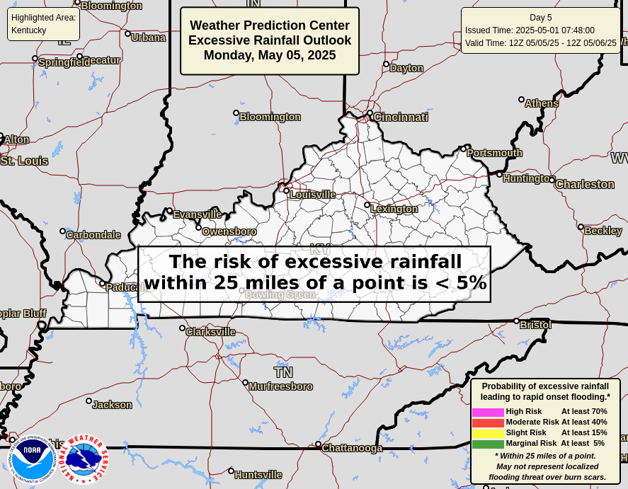
Locally heavy rains may cause some hit and run high water issues. The Weather Prediction Center has a Marginal to Slight Risk across the western half of Kentucky for Saturday…

That low-end risk focuses farther east for Sunday…
Temps Sunday come way down and will go even lower by Sunday night and Monday morning. Check out this temp animation from 8am Sunday through 8am Monday…

I’ll have your full update and look deeper down the road later tonight. Have a great evening and take care.
