Good evening, folks. After a super warm Saturday, it’s time for our big fall storm system to rumble across the region. Everything we’ve been talking about for a week or so continues to be on pace to play out with this. Frost threats and an active pattern follow tonight.
The Severe Weather Outlook from the Storm Prediction Center continues to target western Kentucky with the Slight Risk this evening. The Marginal Risk extends through central Kentucky…

Damaging wind is still the main threat with a low-end tornado risk also there…


With or without thunderstorms, winds are the big player tonight and Sunday with 40mph-45mph wind gust likely in many areas, especially central and eastern Kentucky. A WIND ADVISORY is out for much of the region.
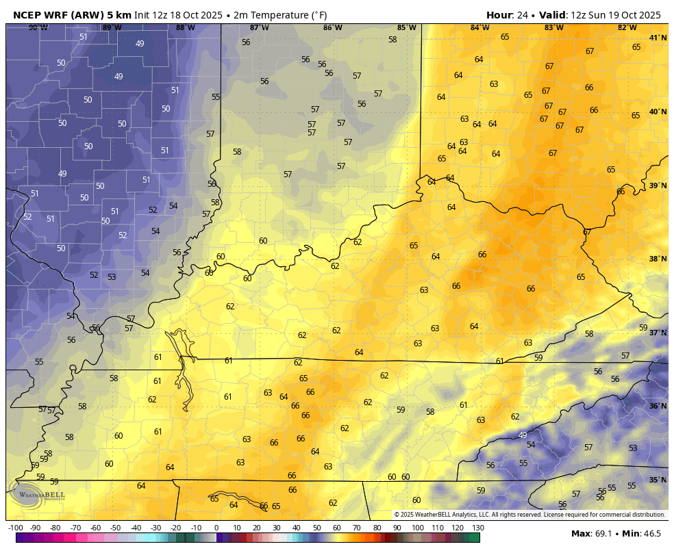
Widespread gusty rains take us into Sunday as the wraparound action looks pretty stout. The temp drop is also going to be rather dramatic from what we’ve seen out there today. Readings drop into the upper 40s and low 50s during Sunday afternoon. As skies clear Sunday night, temps drop into the 30s with the chance for some patchy frost.
This temp animation goes from 8am Sunday through 8am Monday…
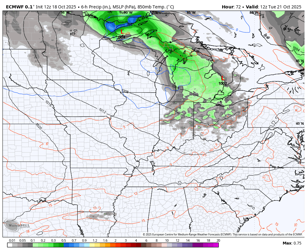
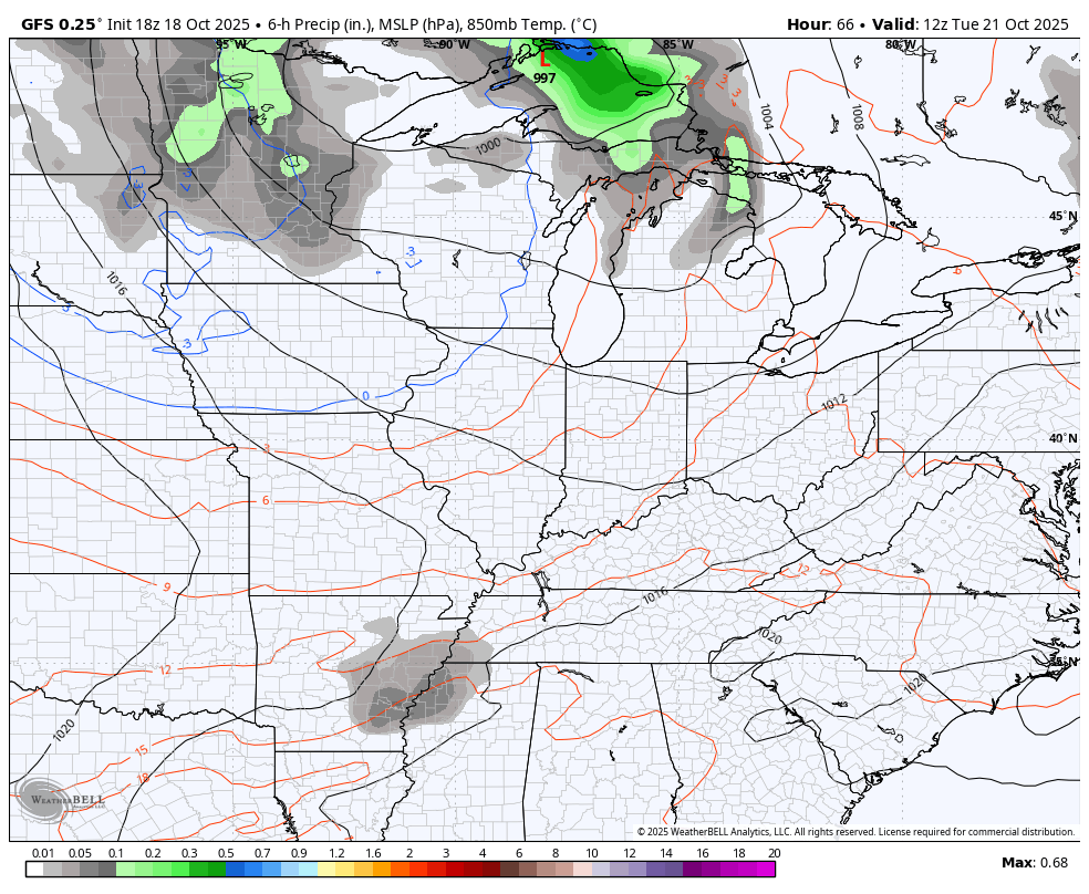
The next front rumbles in behind this with a band of gusty showers on Tuesday and a frost threat coming in behind it for Wednesday and/or Thursday mornings. Another big storm system looks to follow that up by next weekend.
We find the EURO and GFS in pretty good agreement with both of the aforementioned systems…
EURO
GFS
I will have updates as needed today and on my Meteorologist Chris Bailey Facebook Page
Until then, here are your storm tracking tools for the day…


Current watches

Possible Watch Areas

Make it a great evening and take care.
