Good evening, everyone. Our Green Thumb Alert continues for the next few mornings with frost and freezing temps a good bet. This setup is ahead of a very busy one that features a big storm system for Halloween week.
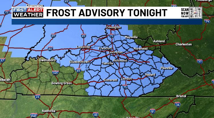
A Frost Advisory is out for much of central and eastern Kentucky tonight…
A Freeze Watch is out for Thursday night and Friday morning for many…
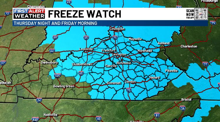
How on earth does the NWS in Charleston, WV continue to put out such absurd looking advisories and watches? You have two northeastern Kentucky counties surrounded by a Watch? Come on, man. Do better.
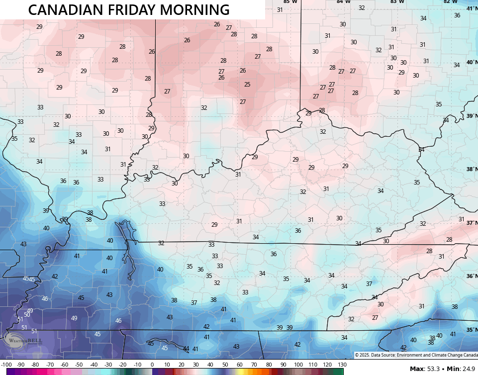
Temps Friday morning can drop into the upper 20s and low 30s for many areas…
A few showers move in later this weekend as one low pressure works in from the west. This is ahead of what will be a big fall storm system spinning across the eastern half of the country next week. The models are struggling with how to handle this, but they are showing the potential with this…
If the positioning of the low is right, some flakes can fly in the Appalachian Mountains.
The chance for a little winter weather shows up into the first week of November. I’ll get into all that with the full update later tonight. Make it a great evening and take care.
