Good evening, everyone. We woke up to the coldest temps since early April today and tonight looks even colder. This likely means an end to the growing season before we track a couple of big storm systems toward the region starting later this weekend.
Some areas this morning went below freezing…
Temps this morning dropped below freezing for the first time since early April. The Kentucky Mesonet sites show the Top 10 coldest thermometers from across the state. Did you see frost? #kywx pic.twitter.com/0C6oHPXySq
— Chris Bailey (@Kentuckyweather) October 23, 2025
With tonight’s freeze, we have to go back to an oldie, but a goodie…

My all-time favorite is still Rosco P Coltrane chasing after the Duke boys and yelling…
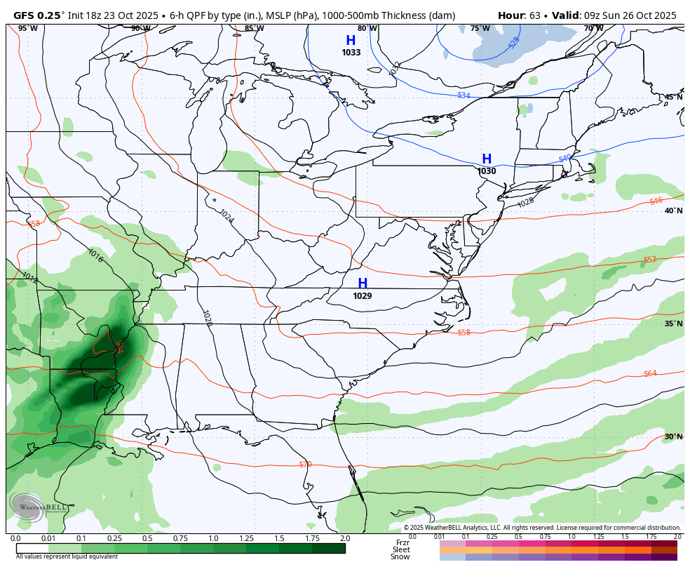
Clouds increase Friday into Saturday ahead of a low pressure rolling in here late this weekend and early next week. That’s ahead of a potent storm system that cranks right behind it starting Tuesday. The models are still trying to figure out how to play this setup, but it’s likely to be a hefty storm system that causes issues in the east. For us, rain, wind and very chilly temps will likely show up.
The latest GFS is still likely a bit too progressive…
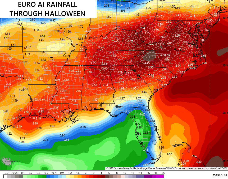
The latest from the EURO AI is much slower with this system and keeps it going into the start of Halloween weekend…
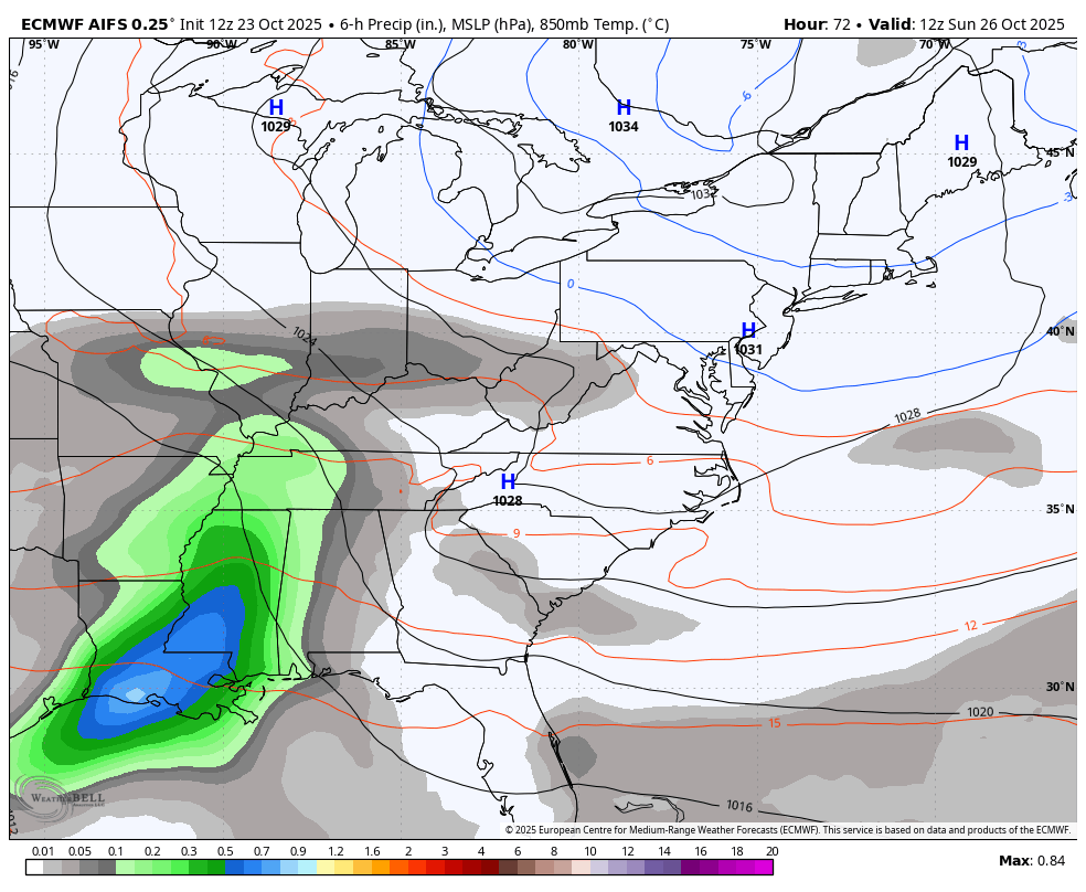
That setup could bring quite a bit of rain…
A complicating factor is soon to become Major Hurricane Melissa down in the Caribbean. This is going to absolutely devastate Jamaica in the coming days…

I’ll see you back here tonight for your full update. Enjoy the evening and take care.
