Good Friday, everyone. Freezing temps are out there to start the day as the growing season ends for most of the state. Once into the final weekend of October, a storm system looks to bring some rain in here before it’s over. That kicks off a super active Halloween week of weather.
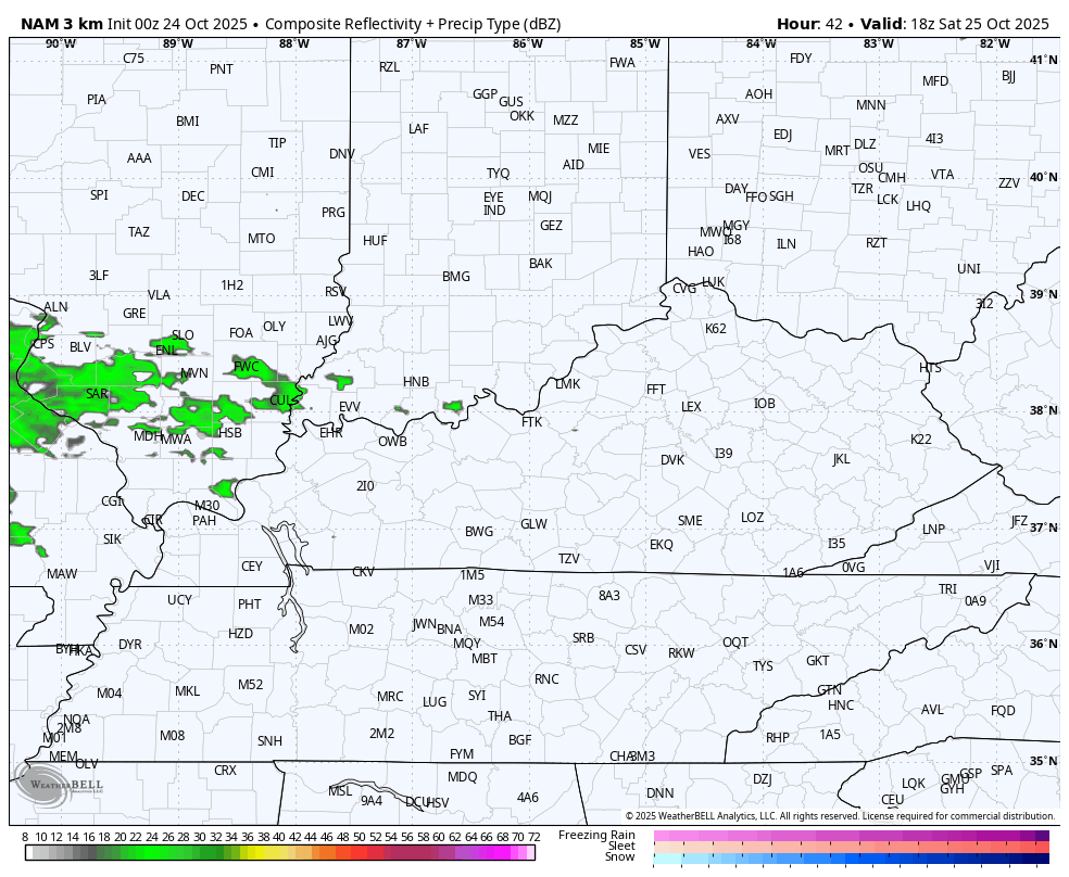
Temps this morning range from the upper 20s to middle 30s for most of the state. Temps this afternoon reach the upper 50s and low 60s with clouds increasing from the west. Those clouds thicken even more on Saturday with mainly dry skies.
I say “mainly dry” because some of the models are spitting out an evening shower or two stretching all the way into central and northern Kentucky…
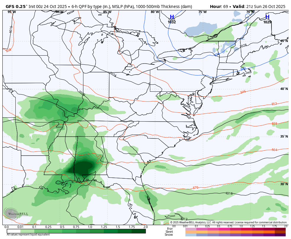
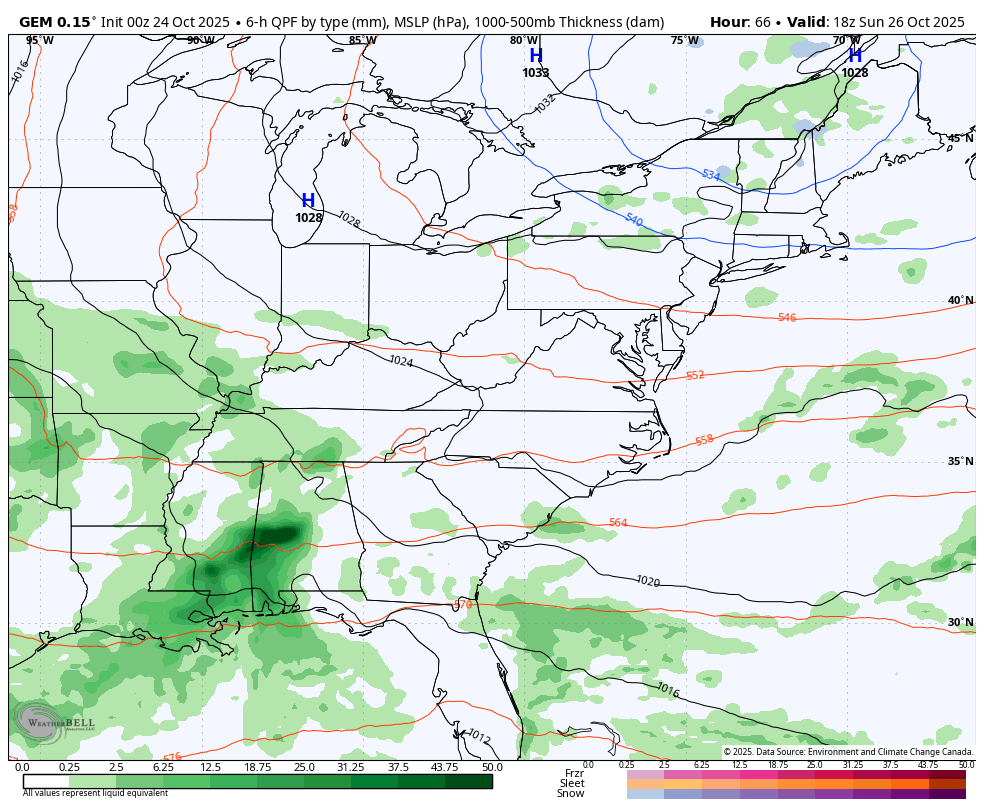
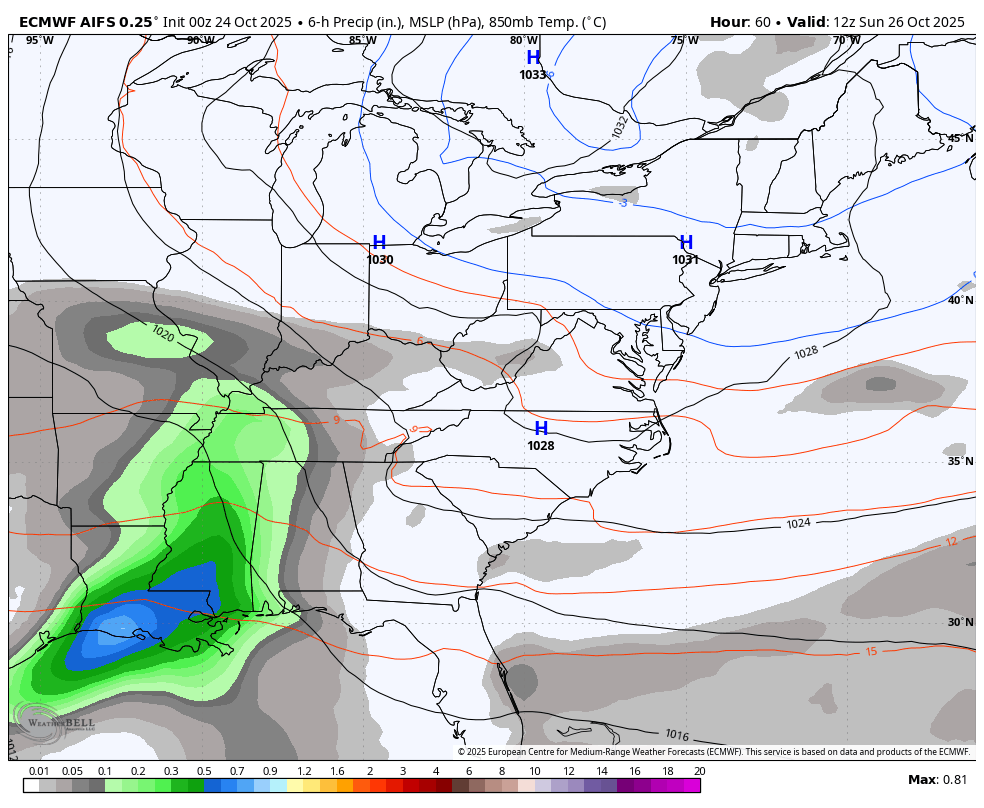
We will see about that, but rain does increase from west to east Sunday and will carry us into Monday as low pressure spins just to our south.
From there, we find our big Halloween Week storm system taking shape for the eastern half of the country. This is setup the models are still trying to figure out and they will continue to do so well into the weekend.
Here are some headlines for what this setup may mean for our region:
- Low pressure at the surface and in the upper levels spin slowly through here from Tuesday through Thursday.
- Rounds of rain will be likely during this time with the potential for some decent totals.
- Winds will be a big player and may hit 30mph-40mph at times.
- Temps turn very chilly with the chance for highs to stay in the 40s for a few days.
- The potential for some snowflakes to fly is there across the Appalachian Mountains.
- Can we get some of those in the high ground of southeastern Kentucky? Maybe.
The GFS continues to be a hot mess and has so many issues, I can’t even count them. It’s lost with the Caribbean storm and has no idea how to handle the system across the eastern half of the country.
This animation starts with the first system on Sunday and goes through Thursday…
The Canadian is slower with the main storm system and even tries to tug at Melissa…
The latest EURO AI is a little slower as well, but not quite as slow as the Canadian…
Tropical Storm Melissa will soon become a major hurricane and will slowly move through the Caribbean, likely devastating Jamaica…

Looking at the latest snowfall potential from the EURO Weeklies, we find a decent look for this early in the year…
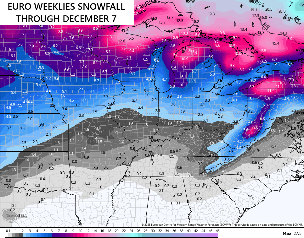
I like it.
Another update comes your way later today. Make it a fantastic Friday and take care.

The snowfall won’t play out.
True Jeff, but we could receive some light Snows or flurries from Clipper Systems.
Thanks Chris. I’m hoping for at least three or four major Snowstorms to track this coming Winter, but with another La Nina, I have my doubts It will happen here in Central Kentucky. The Northern States will likely have plenty of Snow events, because they will be North of the La Nina jet stream. Areas in the State of Michigan will have heavy Snow events on the lee side of Lake Michigan, when the colder Northwest winds come into play. Your Snow maps show this.
Yep there was some frost on the pumpkin this morning.
Here in Maple, we had a low of 29 degrees. Very heavy frost throughout the front field. Trees should be more colorful in a few days. Looking forward to that.