Good evening, everyone. We continue to watch a lot of rain spinning into the region tonight and Wednesday. This is a storm system that spins away just in time for Halloween, but it may leave a lingering shower behind it.
The whole setup with this storm system looks more like something we see in the winter months. Watch that low pass through the Tennessee Valley before turning up the eastern slopes of the Appalachian Mountains…
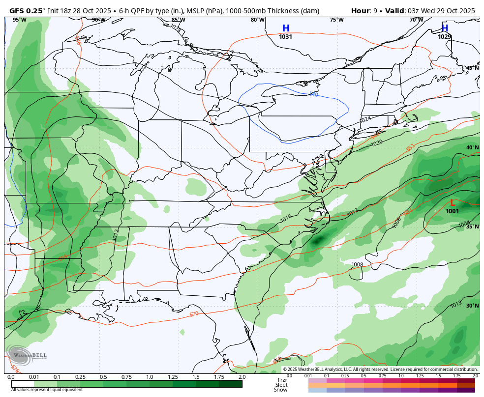
A general 1″-2″ of rain will be likely through early Thursday with some pockets of 3″ possible. Hit and run stream and street flooding will be possible.
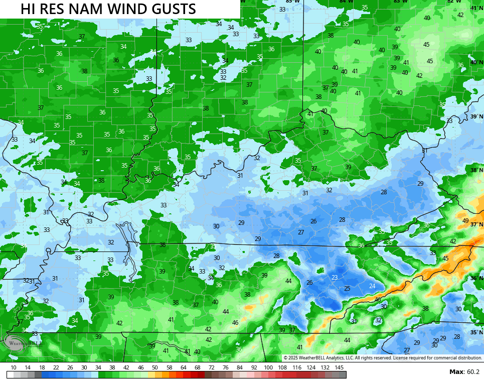
Winds are also gusty with some of those winds peaking at greater than 30mph at times…
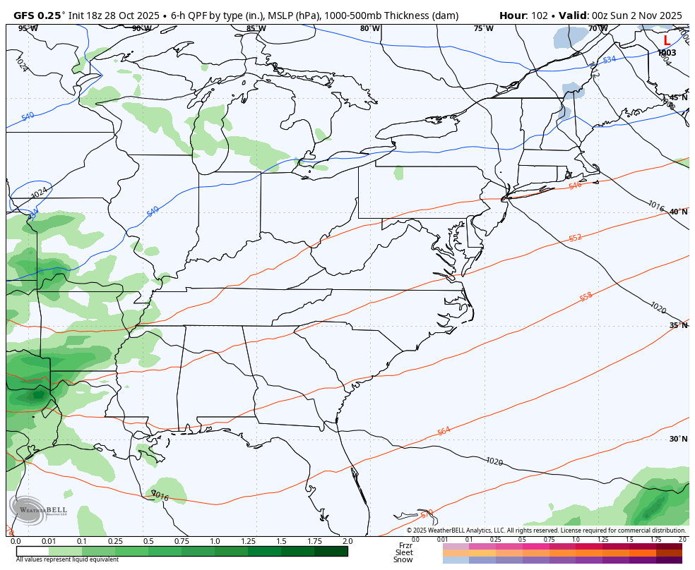
We have to watch for a lingering shower on Halloween, especially in the north and east, though much of the day looks dry.
The models are all over the place with the weekend and early next week setup. The GFS is going for one big rainmaker early next week with another winter looking storm track…
I will have updates as needed and on my Meteorologist Chris Bailey Facebook Page
Until then, here are your rain and wind tracking tools for the day…


Make it a Wonderful Wednesday and take care.
