Good evening, everyone. This is one ugly system spinning through the region with everything from heavy rain to chilly winds. This is the pre Halloween storm system you’ve been reading about here for nearly 2 weeks now.
Heavy rains continue to spin through the state this evening before focusing on central and eastern Kentucky overnight into the first half of Thursday. This rain is enough to push Lexington toward the wettest October ever recorded.
Temps are chilly across the eastern half of the state Thursday with numbers staying in the 40s. Farther west, skies clear with temps in the 50s. Most of us hit the 50s for Halloween with a mix of sun and clouds. There’s still the small chance for a shower in the north and northeast.
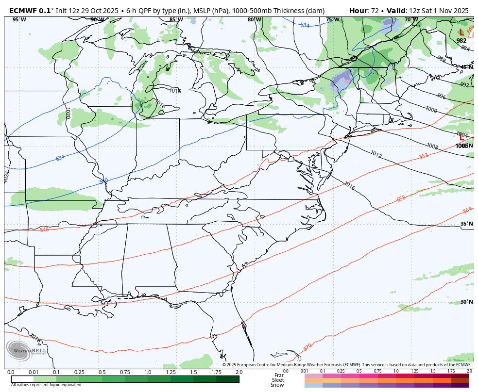
The setup into the weekend finds a system dropping in from the northwest. The models continue to struggle with how to handle all this and they change from run to run. We have the EURO with this system bringing chilly showers in here late Saturday and Sunday before it sinks to the southeast and spins up on the east coast…
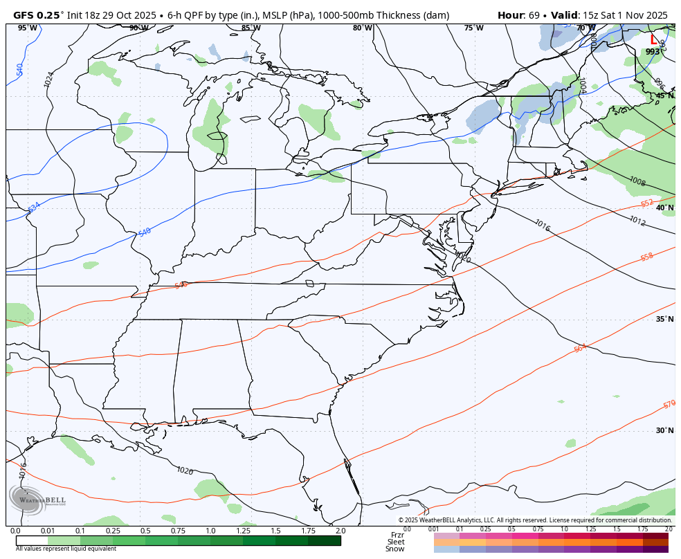
The GFS is similar, but it still drops this system farther west and tries to develop a bigger system…
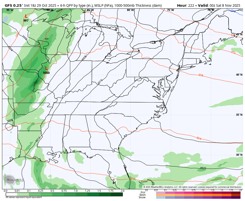
Pleasant early November weather follows that up into the middle of next week. There’s some indication of a potent cold front next weekend and the GFS is trying to bring a little winter behind it…
I will have a full update later tonight and that includes the latest run of the EURO Weeklies. I think you’ll like the look they continue to show for an early start to winter.
As usual, I leave you with your rain and wind tracking tools for the day…


Make it a great evening and take care.
