Good evening, everyone. Skies are slowly clearing from the west as our big fall storm system pulls away. This leaves behind a mainly dry Halloween before another chilly rainmaker rolls in later in the weekend.
Before we look ahead, let’s look in on more history being made in Lexington…
It’s now the wettest October ever recorded in Lexington as we’ve topped 8″ for the first time.
8 of the top 10 have happened since 2004. Records have been kept since the 1870s.
This is also the 5th wettest fall month (September-November) ever recorded in Lexington. #kywx
— Chris Bailey (@Kentuckyweather) October 30, 2025
Skies are mainly dry for Halloween with temps in the 50s. There’s still the slightest chance for a sprinkle or shower in the north and east, so keep that in mind. Temps drop into the 40s during the trick-or-treat hours.
November starts with another system working in from the west bringing chilly showers in here late Saturday into Sunday…
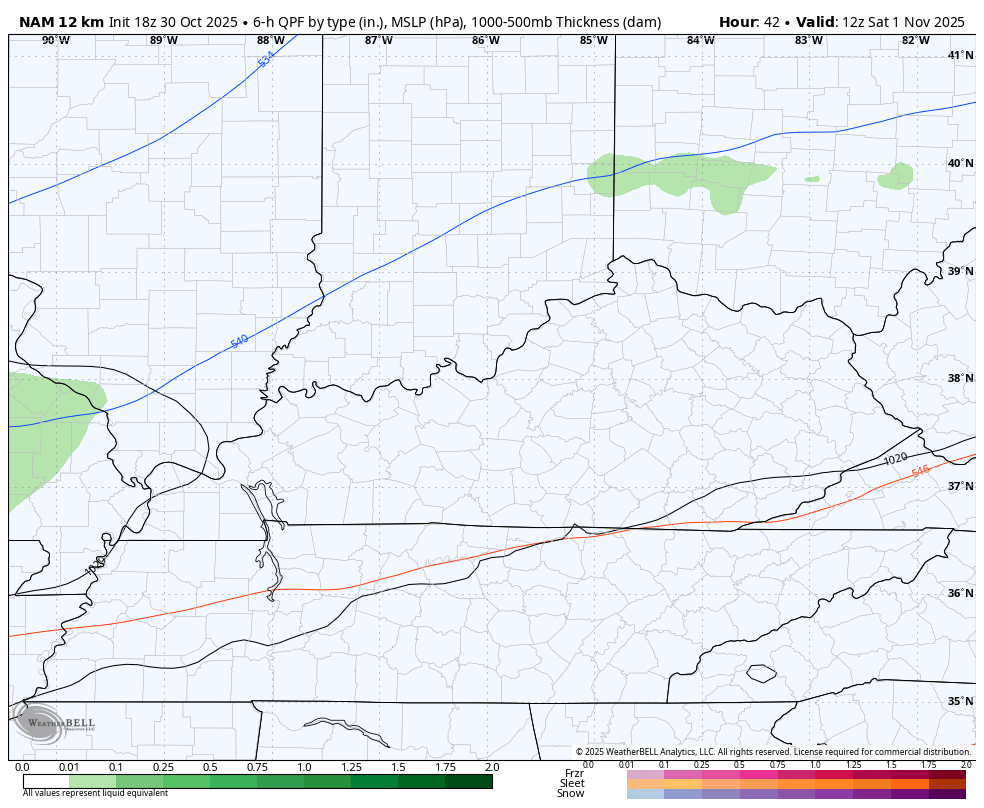
Temps on Sunday may not get out of the 40s for highs across central and eastern Kentucky.
Better weather settles in early next week, giving us a good chance at hitting 60 degrees by the second half of the week. This is ahead of another potent system that may spin through here next weekend. The GFS still likes the idea of some winter behind it…
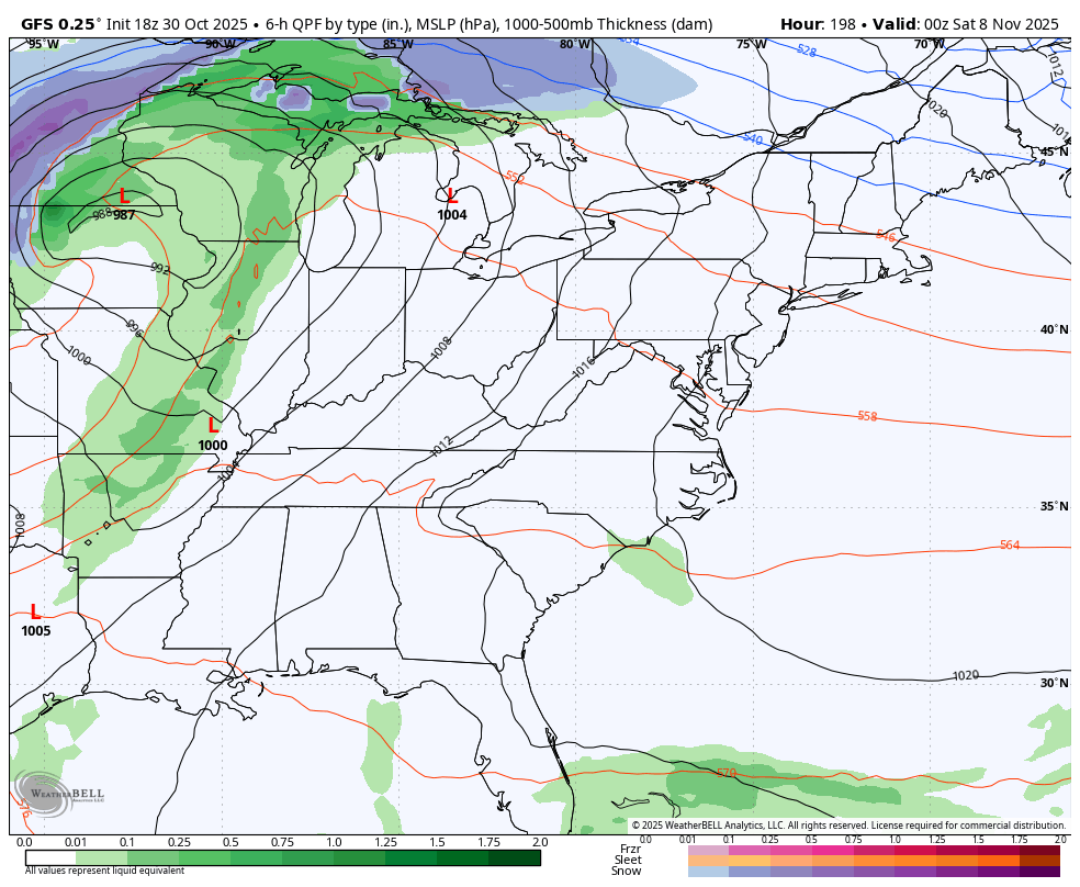
The winter signal grows even louder on the EURO Weeklies and I’ll have that in my full update later tonight.
Until then, here are your rain tracking tools for the day…


Make it a great evening and take care.
