Good Saturday and welcome to November. The month is off and running with a weak system rolling in, bringing some chilly showers into the Commonwealth. This looks to be followed by some pretty nice weather for a bit before the pattern starts to become active once again.
Clouds are increasing today with temps mainly in the 50s. Showers across western Kentucky increase this afternoon and roll into central Kentucky this evening. Rounds of showers will be spinning around a weak area of low pressure…
Things turn much better later Monday as skies become partly sunny and that skies hang with us through Thursday. Temps rebound toward the 60-65 degree range for a few days. This is ahead of the first in a series of cold fronts coming in here starting Friday into the following week. Each of these fronts bring progressively colder air behind them into the following week.
The GFS and EURO have a similar theme but still differ on how they handle each system…
GFS
EURO
My ideas of an early start to winter continue to get a boost from the EURO Weeklies. They like the idea of late November and early December snow chances…
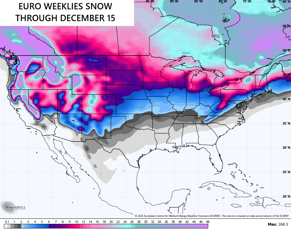
One of the new seasonal models called the CANSips is out and is going toward a similar idea to start winter. I’ll get that on for you later this weekend.
Another update comes your way today. Enjoy your Saturday and take care.

Climate Impact Company’s outlook for November :
https://climateimpactcompany.com/u-s-week-2-4-outlook-warm-pattern-continues-shifting-to-seasonably-chilly-late-november-2-2/
Not buying the snow chances unless they hold up inside of a week out.
Not a surprise in a La Nina Fall and Winter to come. Most of the accumulating Snows are in the mountains Northeast of Vancouver, Canada. Here’s the ten day Snow accumulation for the US and South Canada.
https://www.weatherstreet.com/models/gfs-acc-snow-forecast.php