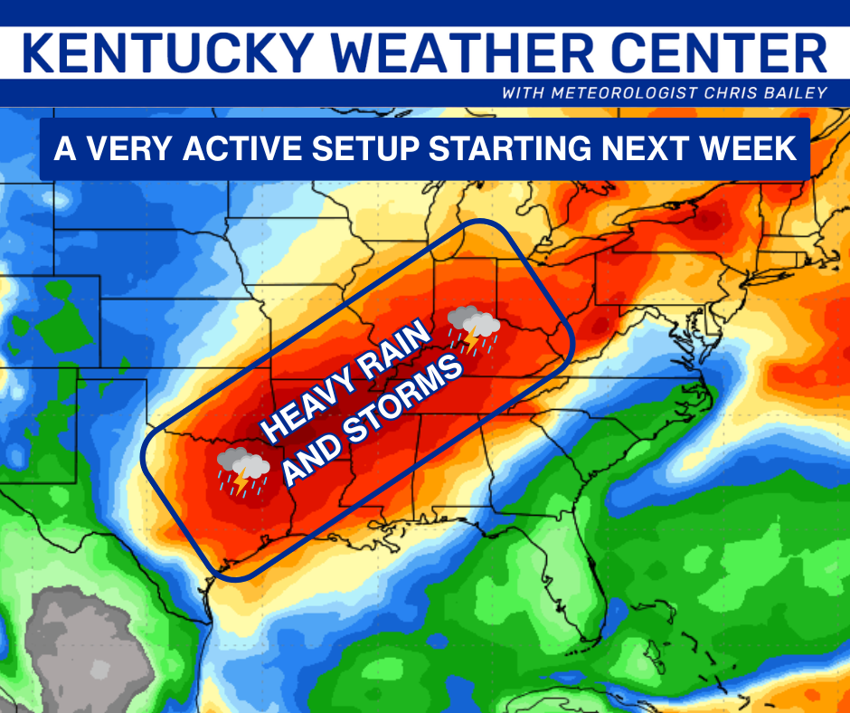
Good evening, everyone. It’s a really mild pattern settling in for the next few days with that back and forth pattern kicking in this weekend into next week. That also leads us into a very active setup next week into Thanksgiving week.
There’s a very small shower chance to go along with a mild wind on Friday. That wind really kicks in for Saturday ahead of a weak cold front dropping in. That may spit out a shower Saturday night or Sunday morning with temps coming back down behind this for Sunday.
Low pressure then zips through here later Monday and Tuesday with some showers and a healthy north-south temp gradient. You can see the Sunday morning front and the follow up low on this animation from the GFS…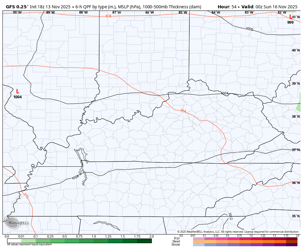
The setup after this will feature several big storm systems rolling from southwest to northeast into the region. The end result would be periods of heavy rain and even some thunderstorms…
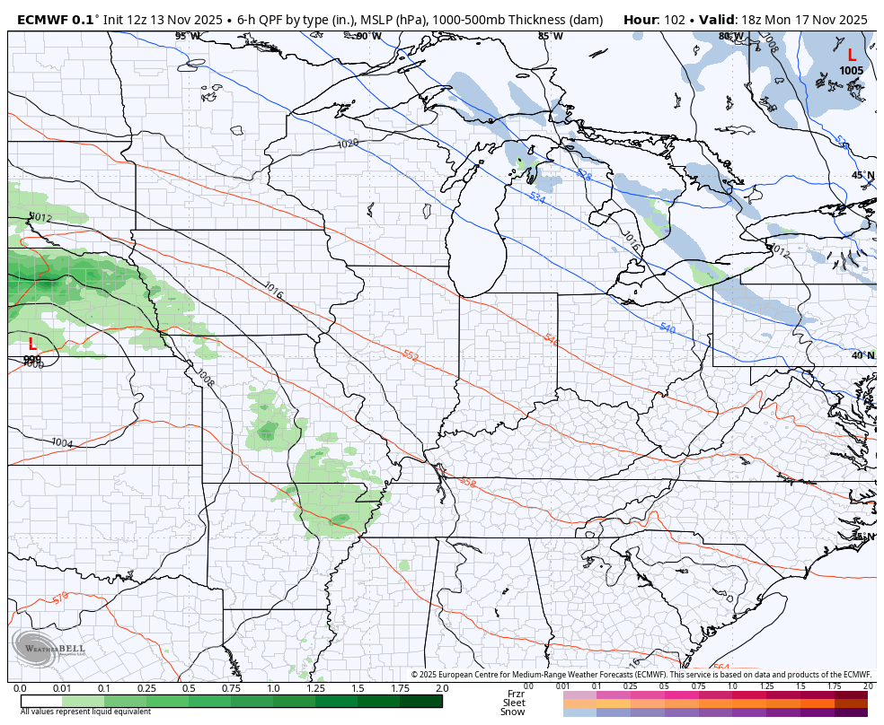
The forecast models are seeing this first system coming in behind the Tuesday low. The EURO has corrected to the east and is better than it was…
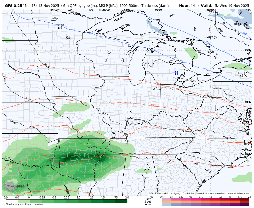
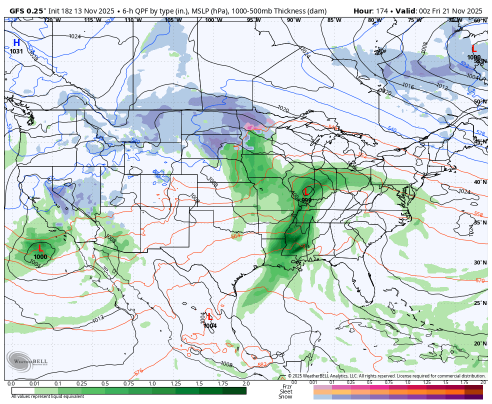
The GFS has that system but is a bit slower with it…
Another storm system follows that up next weekend with Thanksgiving week likely to be very active with the potential for a few disruptive systems across the country. These would occur as cold air starts to flex into much of the country late in the period.
Although way out there in la la land, the GFS is sensing this…
The usual longer range look comes your way later tonight. Enjoy the evening and take care.
