Good evening, everyone. It’s a windy and warm start to the weekend and that carries us into Saturday before a cold front knocks us back to normal for a few days. The pattern still looks really active ahead of a big change to winter coming Thanksgiving Weekend.
Our winds tonight and Saturday can hit 35mph to 40mph at times. This is ahead of the weak front that spawns scattered showers Saturday evening and early Sunday. Clearing skies settle in quickly behind the departing front with more normal temps.
The next system rolls through here with all kinds of showers from Monday night through Tuesday night…
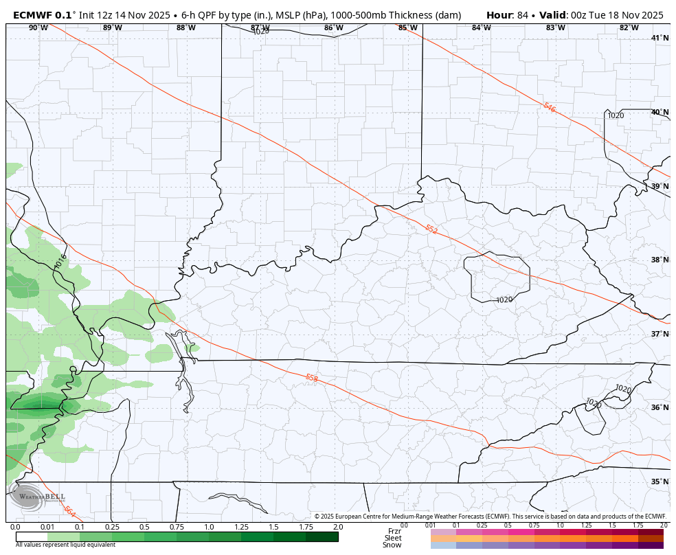
That may have a 20 degree north-south temperature gradient with that system as it moves through.
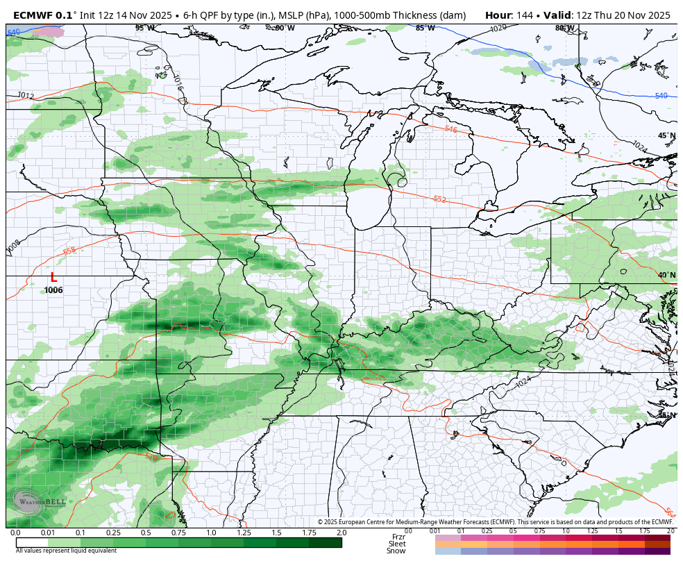
Another big time storm system then zips through here later next week into the start of next weekend. Another follows that and another follows that a few days later. This takes us through Thanksgiving Week and each storm tracks farther east with more and more cold air coming in.
The latest run of the EURO flipped dramatically to showing what the pattern should look like and shows winter crashing in Thanksgiving Weekend. This animation starts next Thursday and goes through Black Friday night…
Look at the massive blocking and the massive trough showing up for Thanksgiving Weekend…
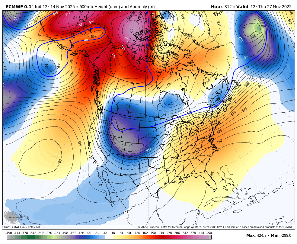
This fits the pattern and meshes with what we’ve been talking about here for weeks now.
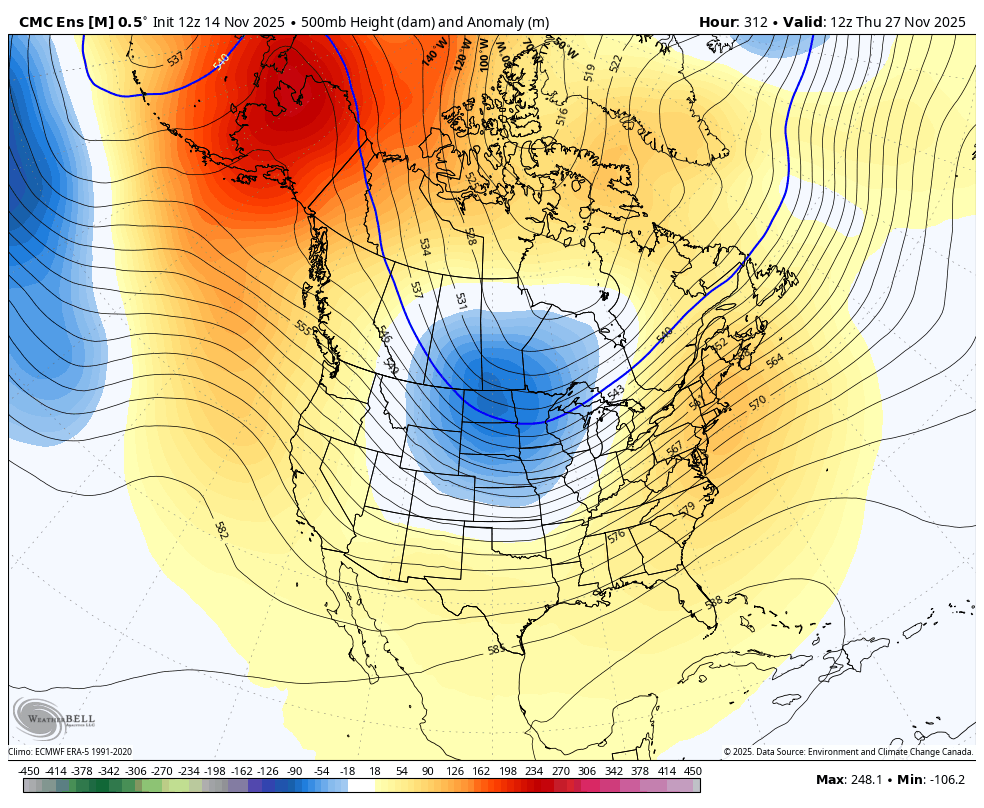
The various Ensembles show this deep trough as well…
CANADIAN ENSEMBLES
GFS ENSEMBLES

Buckle up!
I’ll get into more on all that later tonight. Have a great evening and take care.
