Good evening, everyone. That potential severe threat I mentioned in my last post is now being seen by the Storm Prediction Center so that’s one thing we are focusing on for Tuesday. This kicks off a wet pattern with several more systems impacting us ahead of the Thanksgiving Weekend change toward winter.
The low-end severe threat for Tuesday is along and ahead of a potent storm system rumbling through the Ohio Valley. This system drags a cold front in here and stalls it out leading to a 30 degree temp spread from northeast to southwest.
Rounds of showers and storms are likely with a line of what may be strong to locally severe storms during the late afternoon and evening. The future radar from the HRRR shows all this well…
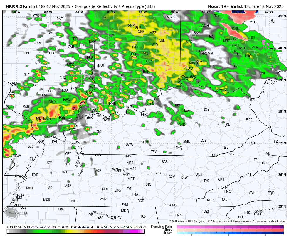
The Storm Prediction Center started the day without any kind of risk but now have a Marginal Risk for much of the state…

I suspect some of that gets upgraded to a Slight Risk.
The setup does come with a low-end rusk for a quick tornado spin up…

Pockets of damaging wind will be possible…

There’s also the chance for large hail to show up in a few of the storms…

Showers and storms roll in here and through here from Thursday into Friday with lingering showers into the first half of the weekend.
As expected, the forecast models are all now having significant continuity issues with the entire Thanksgiving week and weekend setup. We warned you this was coming so don’t believe ANY single forecast model image you see floating around out there.
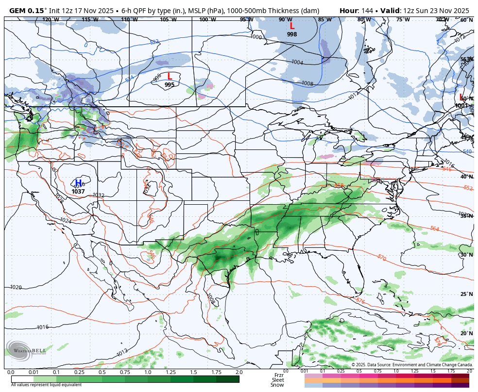
I think the Canadian has the right idea with the system rolling in right before Thanksgiving and then with the cold push coming at us at the very end of the run on Thanksgiving. Notice how the Canadian has another low developing along the boundary on Thanksgiving morning…
The Parallel Canadian Model sees the same thing but is a bit farther east with everything…
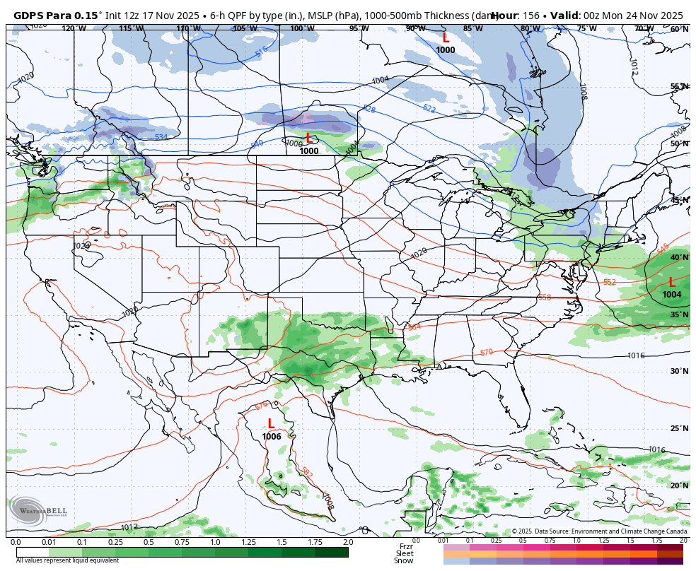
I still wouldn’t put much stock in those in terms of details as I’m only talking about the progression of the whole thing.
The EURO continues to have so many issues that it’s impossible to follow them all. Of course, most models are and that includes the Ensembles.
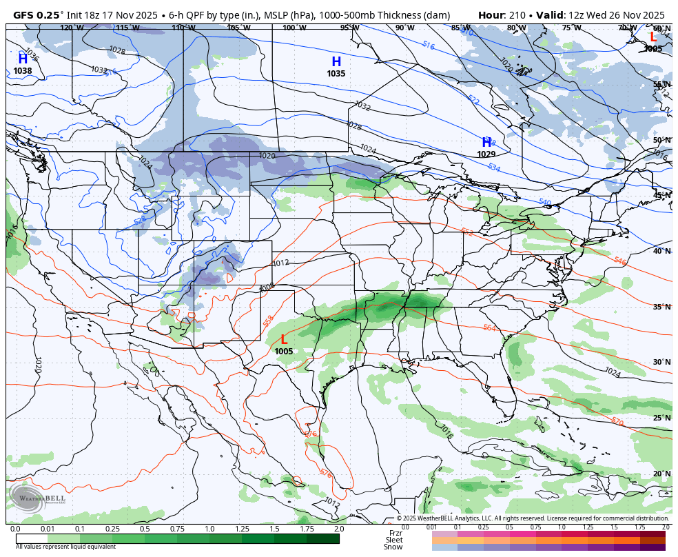
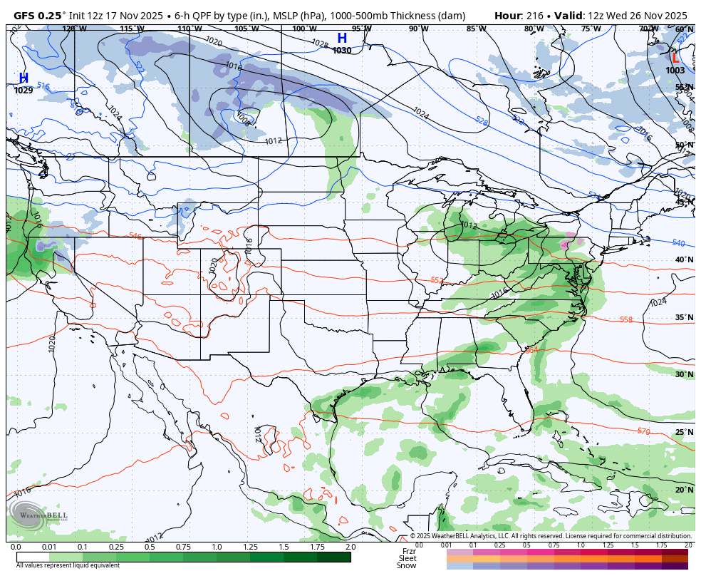
The afternoon run of the GFS has a a similar theme to the Canadian Models above. The GFS goes out further in time and gives us another big system to start December…
Let’s contrast that view to what the prior run of the GFS has just 6 hours earlier that had essentially nothing…
The flips among the models is nothing short of astounding.
I’ll get into all that later tonight and we look ahead toward a rough and tumble December ahead.
Enjoy the evening and take care.
