Good Tuesday, everyone. A winter storm is racing across Kentucky and winds down from west to east shortly after daybreak. This is leaving behind hefty snows for some, a wintry mix for others, and some plain old rain with a touch of snow for the rest.
A few to several inches of snow for parts of the Bluegrass Region into northern and northeastern Kentucky. Farther south and southeast we find areas that had much more rain than anything else. Here’s a look at the Winter Weather Alerts to start the day…

You can track also catch the winter storm playing out on our Kentucky Weather Cams .
The rest of the day will feature snow flurries and a few snow showers on a gusty northwest wind. Temps drop into the upper 20s and low 30s and hold there much of the day. Those gusty winds make it feel closer to 20 before the teens show up by evening.
Temps to start Wednesday will be frigid over areas with snow on the ground and just cold over the south and southeast.
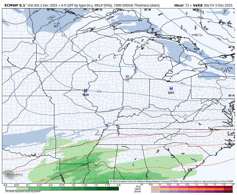
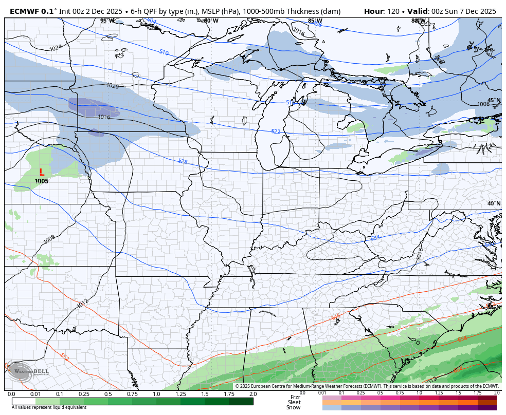
An arctic front drops in on Thursday and brings along an area of snow showers and flurries, especially in the north and northeast. Does this push the Friday system far enough south to where it doesn’t really impact us or can we still get it to come far enough north for some snow? I’m grappling with that right now, but the EURO still has it bringing some snow into southern and eastern Kentucky…
From there, we say hello to a series of clippers dropping in from the northwest. These always give the models fits, especially when we have a series of them lined up. The first arrives Saturday night into Sunday and then its a free for all on the models trying to figure out the rest.
Here’s the EURO from Saturday night into Thursday of next week…
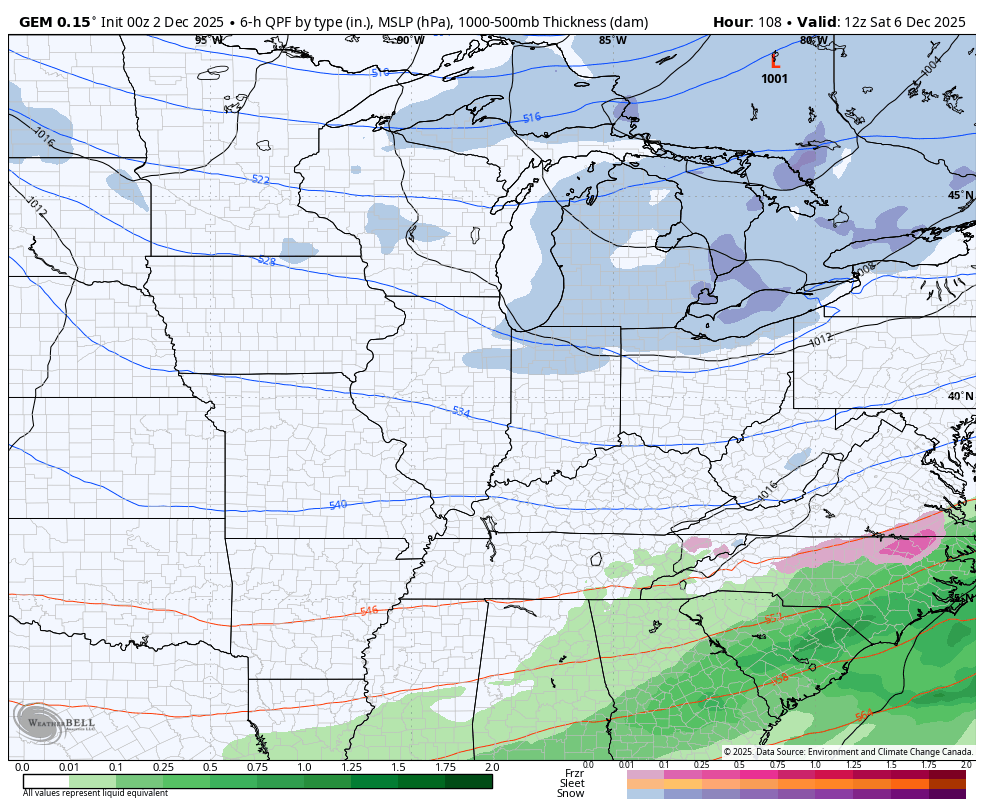
The Canadian during the same time…
One or two of those next week may really try to deepen into something bigger, so that’s something I’ll be focusing on going forward.
Updates will come your way later today. I’ll also have a few updates on my Meteorologist Chris Bailey Facebook Page
Until then, here are your tracking tools for the day…


Make it a terrific Tuesday and take care.

Unreasonably cold temperatures and snow on the ground at 5:26 am
Snow is overrated.
And?
Thanks Chris. Enjoyed looking at the Snow scenes on your weathercams. It’s too bad, that the whole State can’t receive such. Here in Northern Taylor County, we received about half inch of plain rain, with a light coating of Snow at the end.
Total accumulation during the past 24 hours at my PWS just south of Bowling Green was 0.47 inches, all rain. Current temperature is 30.7°F, wind is WSW at 2.9 mph.
Got about an inch of snow here in my next of woods here in western,ky