Good afternoon, everyone. Clouds, a few flakes and frigid temps are hanging tough across Kentucky today as we gear up for another cold front to drop in late tonight. That one brings some snow showers and flurries with it as we focus on a Friday system that can bring light snow for some.
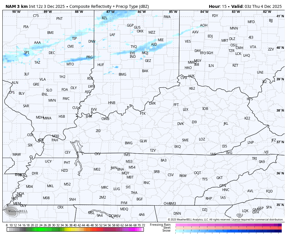
The overnight and Thursday morning front will put down some very light accumulations in the north. The future radar from the Hi Res NAM shows how the band of light snow fades the farther south it gets…
The forecast models still vary greatly on the southern system that’s set to graze the region with light snow. The best chance is across the south and, especially, the southeast. Here’s my current thinking…
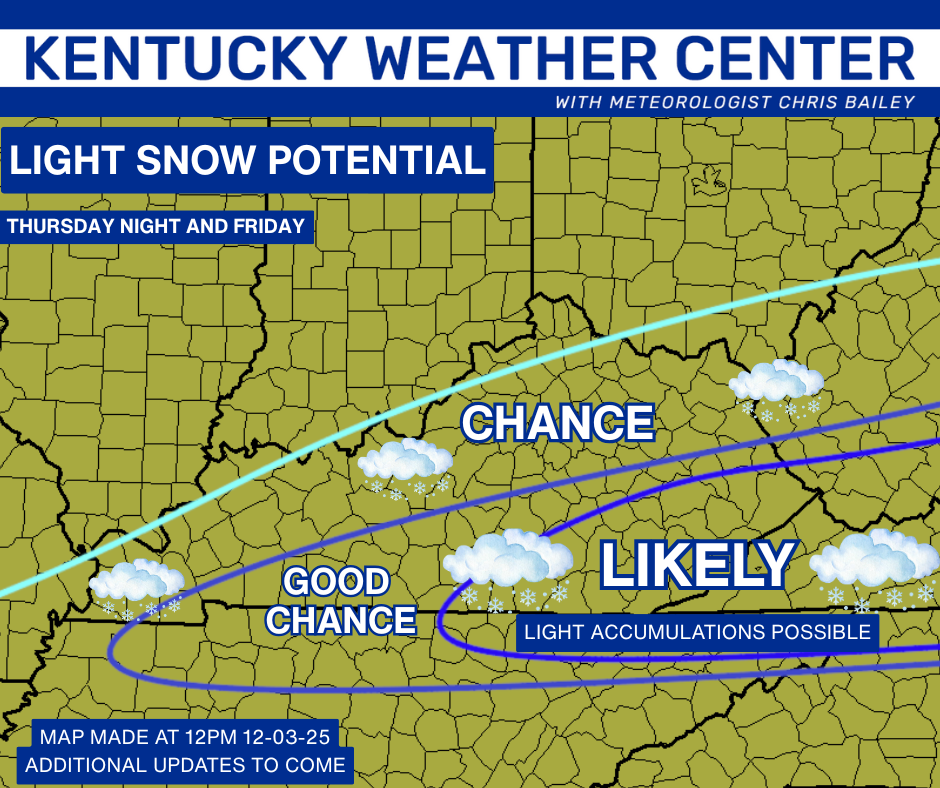
There’s still a little room for this to come farther north and that’s something the NAM is picking up on…
Again, this system is a fast-mover and fairly light, but it can put down Advisory level light snows for some.
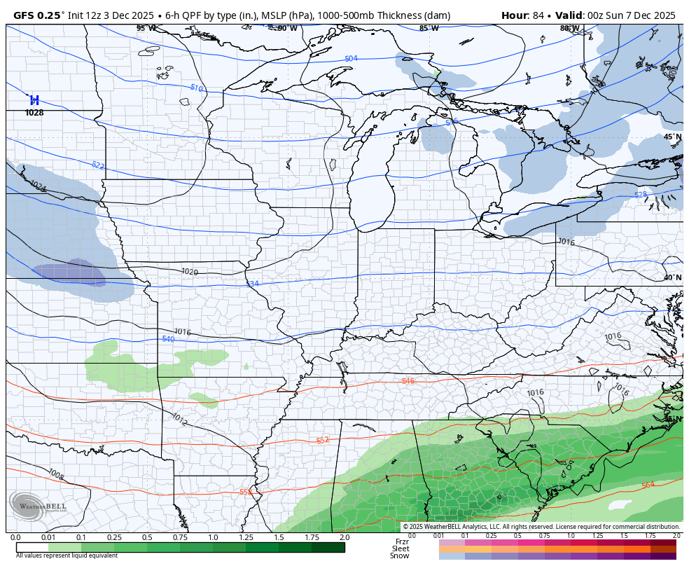
The system coming in behind that shows up Sunday and Monday with the models still showing quite a bit of spread. The GFS has lost the big snow event and has gone toward a lighter look…
I’ll update all this in a new post later today and I’ll have the latest on WKYT-TV starting at 4pm. Don’t forget about the First Alert Weather Show at 6:30 on the CW Lexington and streaming on WKYT+ .
Have a great afternoon and take care.
