Good evening, everyone. It’s another cold one out there as we watch a cold front dropping in with some flurries and snow showers for some. This can put down light accumulations in the north with a Friday system possibly putting down some light accumulations in the southeast.
Tonight’s snow shower maker blows in with the best chance for small accumulations being in far northern Kentucky. A few flakes may fly into the first half of Thursday as that cold front washes out on top of the region.
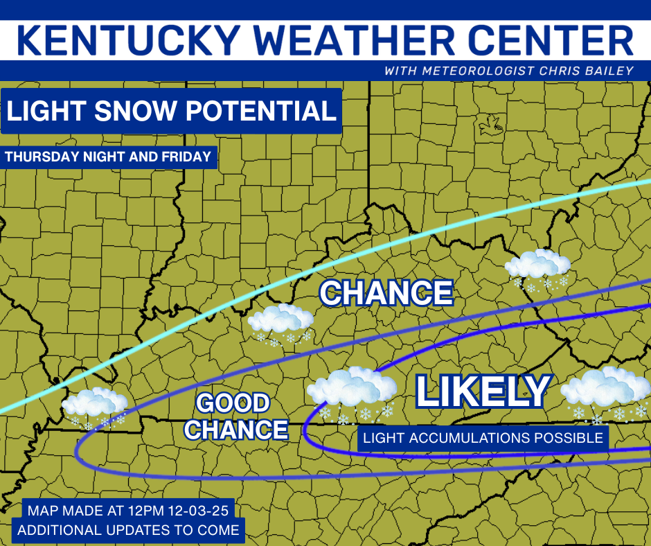
The cold high coming in behind that is going to push the storm track to our south and southeast with this next system. This will still bring a band of light snow into far southern and southeastern Kentucky. The future radar from the HRRR shows this well…
That’s similar to what the GFS is spitting out….
That matches up with my area to watch for maybe a light accumulation…
The Sunday system continues to look light, but it’s something we will keep watching.
Additional systems drop in from the northwest into next week. I’ve said one or two of these may really amplify into something bigger. The Canadian is showing something like that later next week…
Updates will come your way later today. I’ll also have a few updates on my Meteorologist Chris Bailey Facebook Page
Until then, here are your tracking tools for the day…


Make it a great evening and take care.
