Good evening, everyone. The southeastern snow swipe is gone and now we are roll into the weekend watching a few snowflakes and another system later Sunday and Monday. This is ahead of what may be a pretty nasty arctic outbreak late next week.
In the short term, a few flurries will fly on Saturday, especially across the north. Temps will be in the 30s,
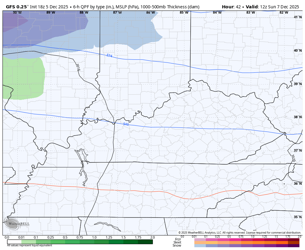
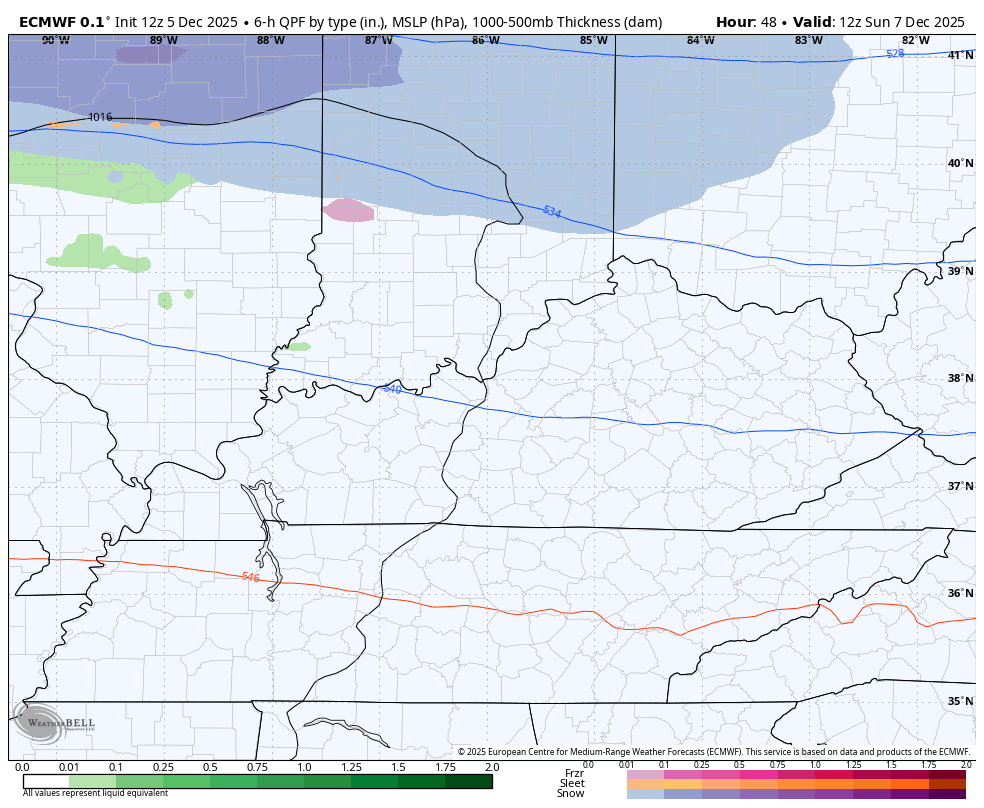
The system coming in Sunday and Monday arrives in two pieces with the first part bringing a little light snow and light rain on Sunday, but that’s rather sparse. An arctic front moves in Sunday night with an area of low pressure developing along it. This wave of low pressure should develop to our south, meaning some snow would be possible across parts of the state. The greatest potential appears to be across the southern half of the state into Monday.
Here’s how the GFS sees this…
And the EURO…
Monday is a frigid day with highs in the upper 20s and low 30s with gusty winds making it feel even colder.
We may FINALLY get a bounce back for temps Tuesday and Wednesday, but that may only get us to normal. That’s ahead of the first in a series of clippers dropping in here. One of these is going to really to amplify next week and turn into a hefty system.
The EURO is doing just that ahead of a full blown arctic attack…
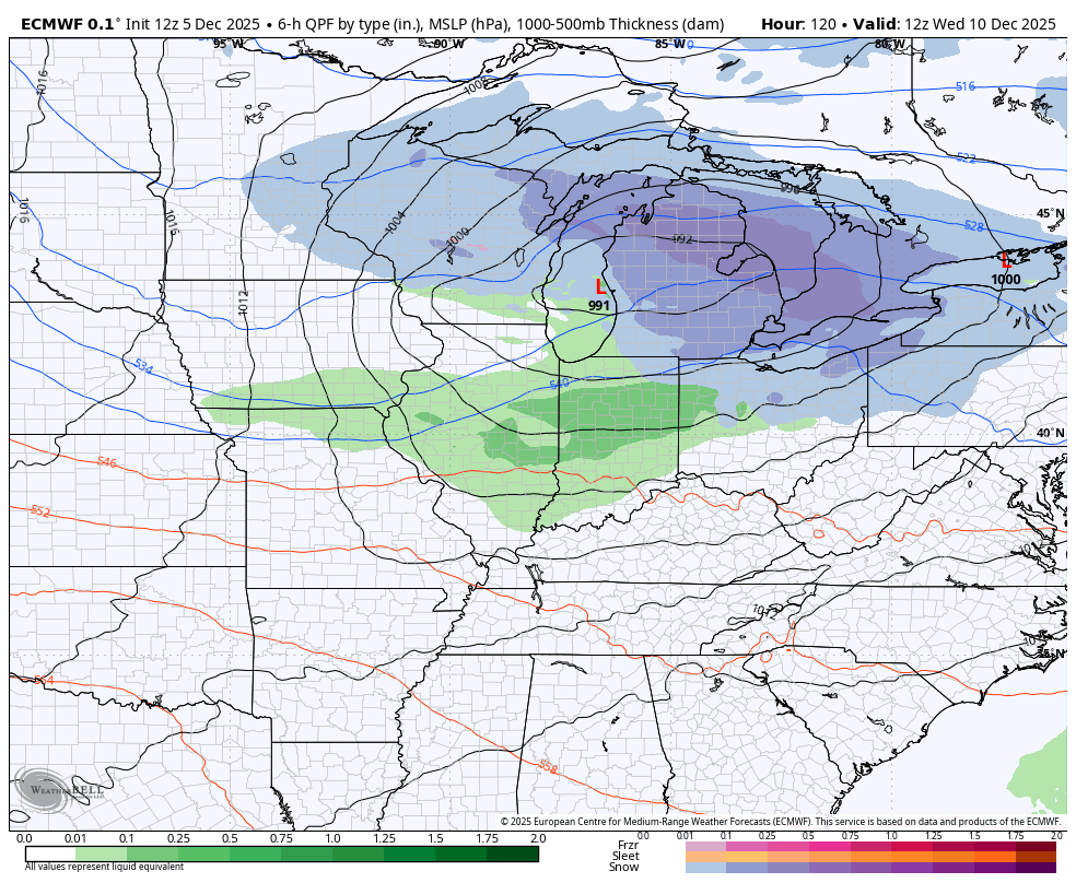
Here comes Barney…

If we have snow on the ground, we can make a run at zero or below.
The Canadian Ensembles continue to feature a pattern with bitter cold shots starting in Alaska and northwestern Canada diving southeast into the same areas of the eastern half of the country through the first day of winter…

The full update comes your way later tonight. I’ll also have a few updates on my Meteorologist Chris Bailey Facebook Page
Until then, here are your tracking tools for the day…


Make it a great evening and take care.
