Good evening, everyone. Temps were slow to respond today as Old Man Winter has a tough time letting go. This refusal to let go comes into play later this week as we have a wild weather ride to end the week.
Temps are set to soar ahead of a strong cold front arriving Thursday. Temps can reach the 60s in the east if the skies stay sunny long enough. Regardless, temps will be in the 50s on a gusty southwest wind. With the powerful front moving in, we even have the chance for a few strong or severe storms during the afternoon and evening. The Storm Prediction Center is highlighting the threat with a Marginal Risk for severe storms for much of the area…

The future radar from the Hi Res NAM shows a pretty good squall line working through the region during the evening hours…
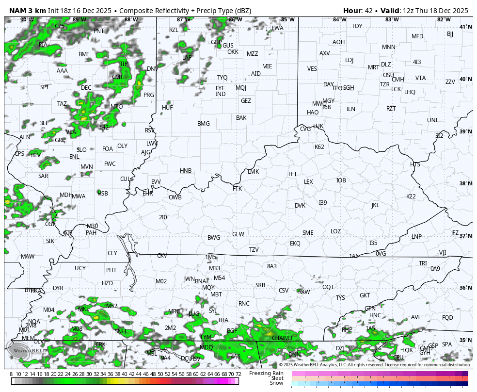
That would be a low-topped line of storms that would be capable of producing local wind damage. Check out the forecast wind gusts from the Hi Res NAM as that line works through…

Cold air crashing in behind this means the threat for some flurries and snow showers early Friday…
The feels like temps tank during this time. We go from 60 or so Thursday afternoon to a wind chill in the high singles and low teens by Friday morning…

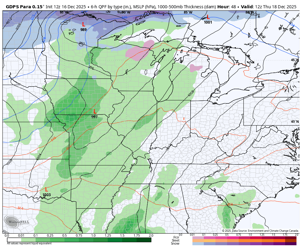
Temps rebound on Saturday with the pattern for Christmas week still looking to feature one major warm up across the plains and south with shots of that coming our way. That said, cold highs are going to be rolling across the northern half of the country. That combination could mean a little more back and forth with wet weather. The medium range forecast models are starting to see this…
Enjoy the evening and take care.
