Good Wednesday to one and all. Milder winds continue to kick in out there today as a weak boundary slides by to our north. The bigger front arrives late Thursday and brings a wild weather ride into town. We go from the threat for strong storms Thursday afternoon to the chance for some snowflakes by Friday morning.
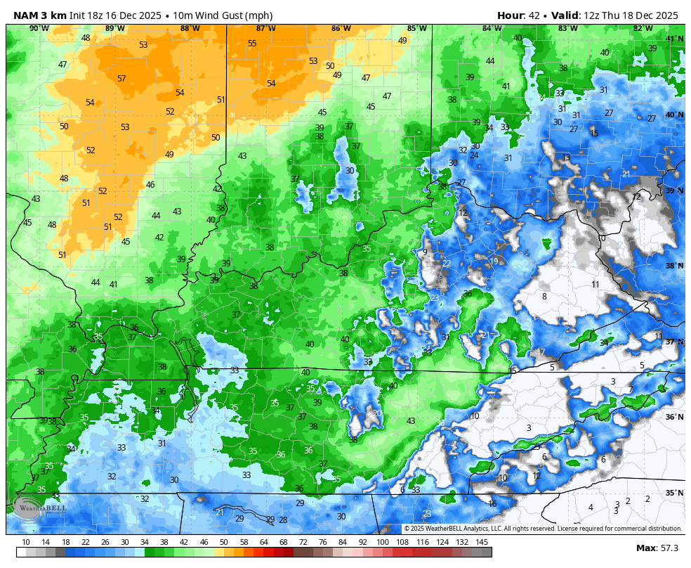
The weather on Thursday features gusty winds from the south and southwest and those may top 40mph at times. These gusty winds will accompany a scattering of showers and storms before a squall line of showers and storms races from west to east during the afternoon and evening.
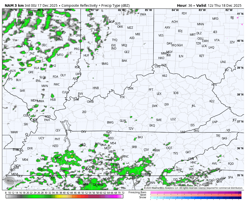
Here’s the future radar from the Hi Res NAM from 7am Thursday to 7am Friday…
As mentioned, winds will be gusty from the southwest with higher gusts along the line of showers and storms. Check out the hour by hour wind gust forecast from the Hi Res NAM for Thursday…
Some of the storms Thursday afternoon and evening may be strong or locally severe. The Storm Prediction Center continues with a low-end risk for severe storms…

Local wind damage is the primary player…

I’m not concerned with any other threat…


That’s a quick-shot of frigid wind chills coming in behind this front. Watch how fast we hit single digits by Friday morning…
Temps jump up again Saturday ahead of another cold front arriving Sunday. This knocks the temps down again as we watch massive warmth develop in the Plains states. That warmth takes shots at us Christmas Week. At the same time, cold highs roll from northwest to southeast to our north. That means we watch for a couple of backdoor cold fronts that may set up the occasional mega temp gradient across the Ohio Valley. These may also deliver some rains in here.
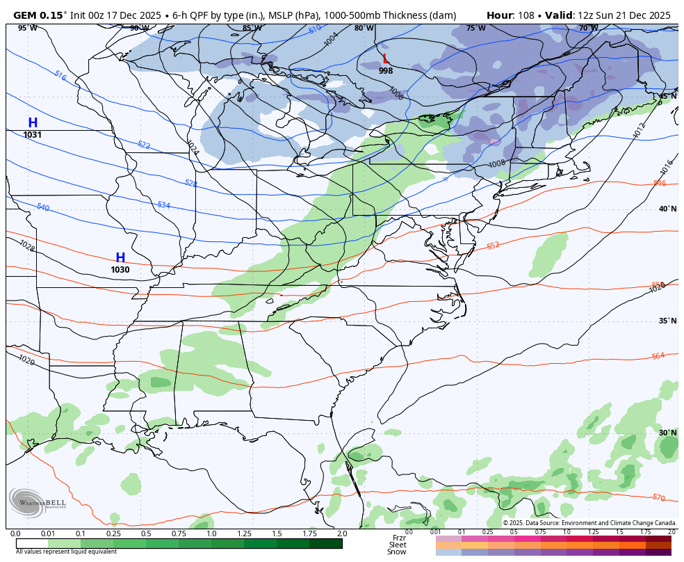
Here’s the Canadian from Sunday through the day after Christmas…
The EURO starts Sunday and runs through the end of Christmas Weekend…
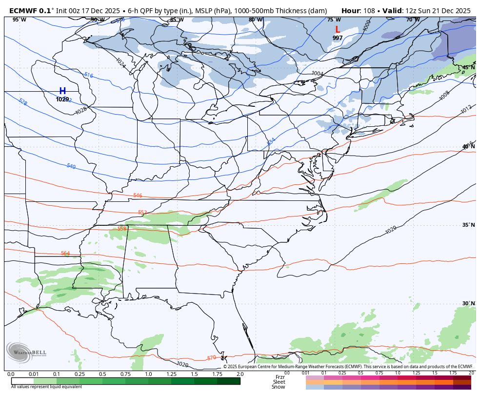
You can see 3 separate fronts finding their way nearby.
Another update may come your way later today, so check back. I will also have a few updates on my Meteorologist Chris Bailey Facebook Page
Until then, here are your tracking tools for the day…


Make it a wonderful Wednesday and take care.

All the snow we got from late November into early December has melted here in the Chicago Metro area, as the temps hit 40 degrees yesterday, and will hit 40 again today with rain on the way for later tonight. The only snow remaining are the piles that were shoveled or plowed, and even those will likely be gone by Thursday.
So far, temps are averaging 10.6 degrees per day below normal for the month here, but with the mild weather we’re expecting during Christmas week, we’ll be getting much closer to normal by the end of the month.
With no snow in the forecast for at least the next week, there will be no White Christmas here in the Chicago area, just like for you guys in KY.
Mike, I don’t think there ever was a ” White Christmas ” here where I live in South / Central Kentucky, but my idea of a ” White Christmas ” is at least 8 inches. My last ” White Christmas ” was in 2004 up in Indiana, 2 feet on the ground. A very beautiful, and peaceful Christmas that year.
Hopefully, in the coming Winter month’s the weather will continue to be uneventful for our area of the State. I’m more concerned about Severe Weather ( Tornadoes, ) which may be starting early. Just like the Winter weather we had so far this year.