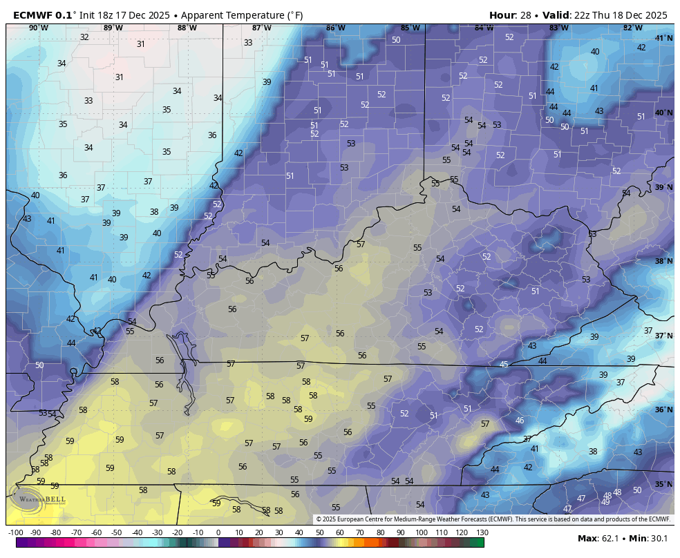
Good evening, everyone. We continue to see milder winds kicking in across the region and that wind really increases ahead of a strong cold front arriving Thursday. This unleashes a one and done blast of winter on Friday.
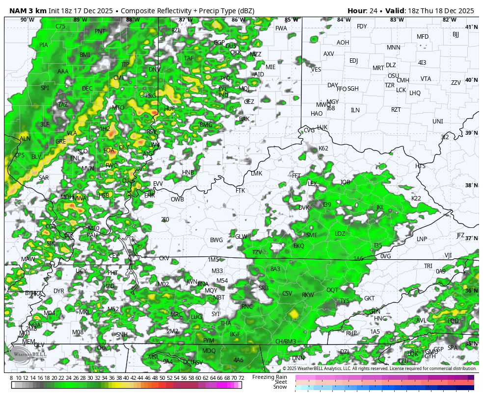
Gusty winds with an increasing amount of showers and storms show up from west to east on Thursday. The Storm Prediction Center has removed us from the Marginal Risk for severe weather, but the threat isn’t zero…

The future radar from then Hi Res NAM shows a squall line of showers and storms racing from west to east during the evening. As temps tank behind it, watch some snow showers and flurries show up by Friday morning…
Wind gusts of 40mph may show up from time to time. Here’s the Hi Res NAM following the progression of the peak wind gusts…

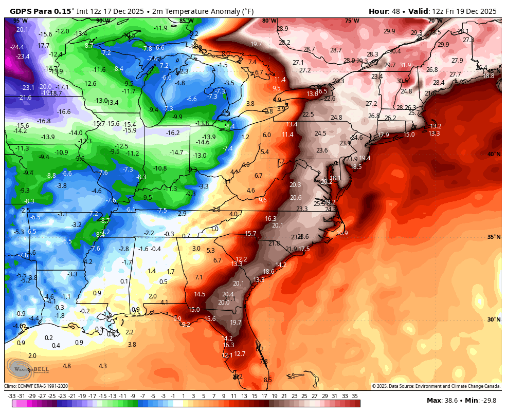
Wind chills tank on that strong northwest wind flow with some single digit wind chills showing up by Friday morning. This animation runs from Thursday afternoon to Friday morning…
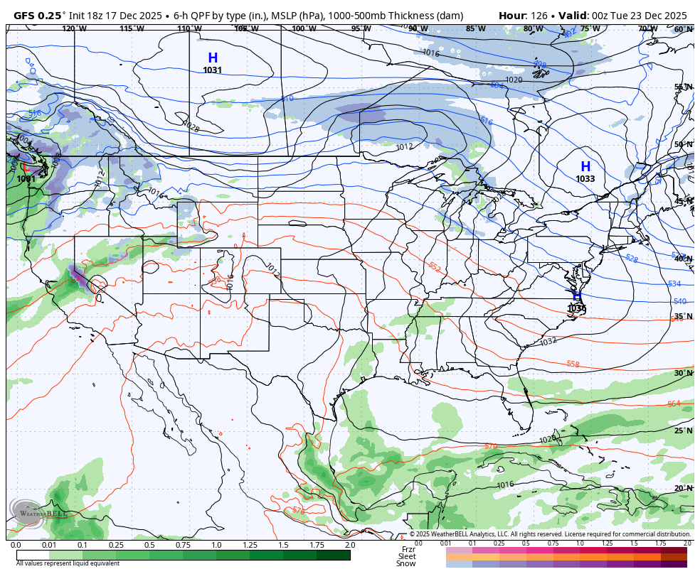
Temps rebound on Saturday but another cold front follows that up with a shot of colder than normal air late Sunday into Monday. Here’s the Canadian showing the two cold shots with a blast of milder between the two…
The EURO looks similar…

The models are starting to see the warmer air isn’t just locked into the east as you can see on the above animations. You can also see how they’re just now picking up on more of a transitory pattern through Christmas and into the closing week of the year…
Enjoy the evening and take care.
