Good Thursday, everyone. We have a big time cold front surging into the region later today. This makes for a wild weather ride to end the week with more big temp swings on the way in the days leading up to Christmas.
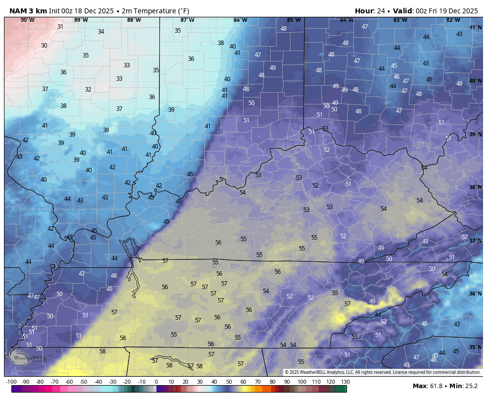
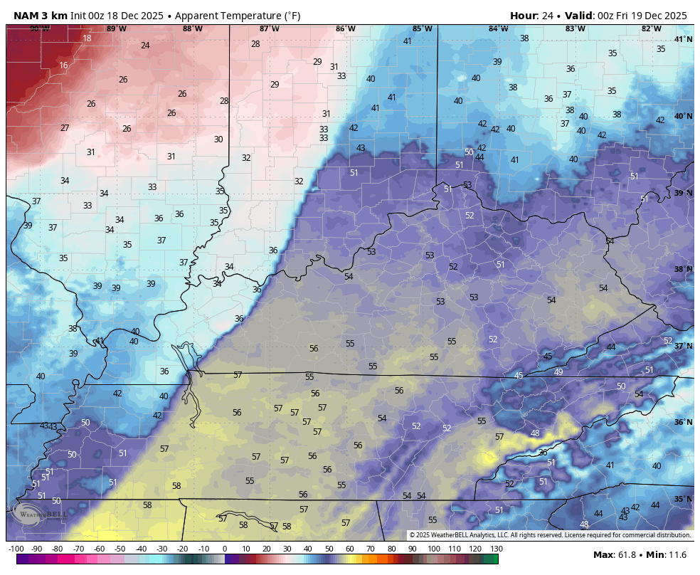
Temps out there today reach the 50s for the entire region and may hit 60 in a few spots. Strong southwest winds may gust to 40mph at times, especially as a squall line of showers and storms moves through this evening.
The future radar from the Hi Res NAM shows some showers ahead of this line and some snow showers and flurries behind it early Friday. This animation runs from 1pm today through 1pm Friday…
Some coatings will be possible under a few of those snow showers.
The temp drop behind this front is pretty dramatic. Check out the numbers from 7pm this evening through 9am Friday…
Adding the gusty winds into the mix makes the drop even more dramatic with single digit wind chills showing up for some by Friday morning…
Temps rebound Saturday before coming right back down behind another cold front on Sunday. From there, we find some massive warmth continuing to bulge across the Plains and south and this takes some shots at us next week. Cold highs continue to cross the north into the northeast, putting us on the southern edge of these.
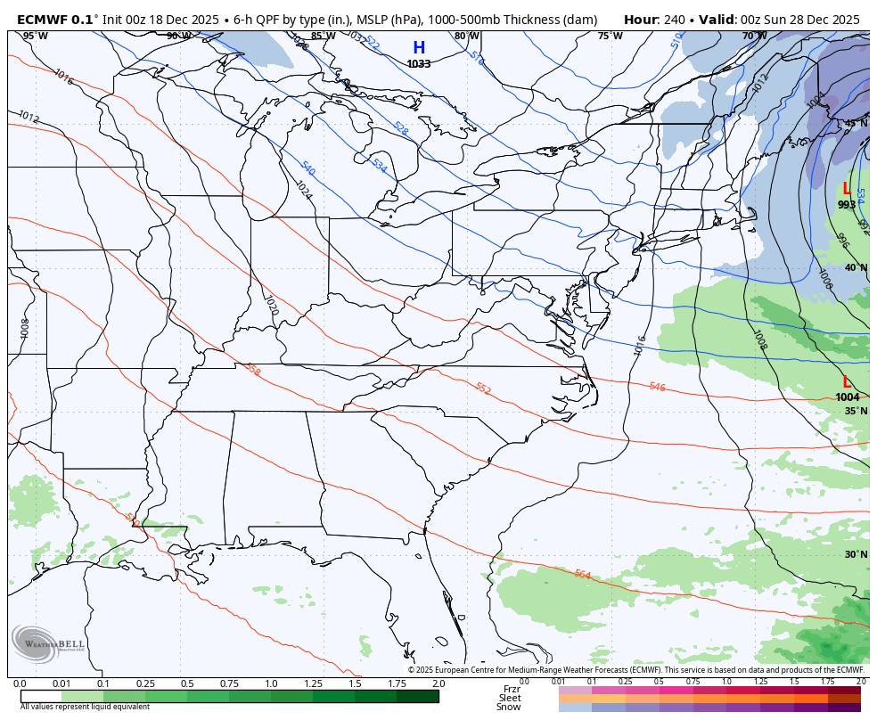
This should set up quite the temp gradient from time to time across the Ohio Valley with a big northeast to southwest spread. You can clearly see the EURO showing this systems diving in just to our north and northeast…

It’s at this point we should begin to see winter start to fight back against the warmth. You’re seeing more and more of the models pushing systems into the east in the final week of December into the first day or two of the New Year.
Here’s the EURO…
And the GFS…

Another update or two comes your way later today. I’ll also have a few updates on my Meteorologist Chris Bailey Facebook Page
Until then, here are your tracking tools for the day…


Make it a terrific Thursday and take care.

I think we’ve seen the worst of winter already.
Maybe and more likely not.
January / February / March : ) 50 / 50 chance for either above normal or below normal temperatures, and a 60 to 70 % for above normal precipitation along and North of the Ohio River : )
https://www.cpc.ncep.noaa.gov/products/predictions/long_range/seasonal.php?lead=1
Here’s more on the outlook for ( JFM ) and ( AMJ) : )
https://climateimpactcompany.com/daily-feature-south-southeast-u-s-drought-expansion-la-nina-climate-through-q1-2026-2/
Just in time for Christmas, we have a shiny new suite of toys from the NWS, which probably wrap the same tired algorithms in a new coat of paint. They’ll gobble up more computer power, but end up amplifying chaos in the process!
https://www.noaa.gov/news-release/noaa-deploys-new-generation-of-ai-driven-global-weather-models?fbclid=Iwb21leAOxGD5jbGNrA7EYM2V4dG4DYWVtAjExAHNydGMGYXBwX2lkDDM1MDY4NTUzMTcyOAABHsK2PfrXWyRklz7_3mTsef0GNK78RCK34VU3hRQfA61WywBUsqFslfpOpvhb_aem_YBCOabKjvTU_0CuMY-U-Dg
Thanks for sharing Joe. It may work better, than what we have now. Always room for improvement.
Above correction : ) not ( AMJ ) but ( MAM )