Good evening, everyone. We are about to hit Christmas week with an increase in temps and some showers. Those temps will really toast up through the week before a big change smacks em down late next weekend.
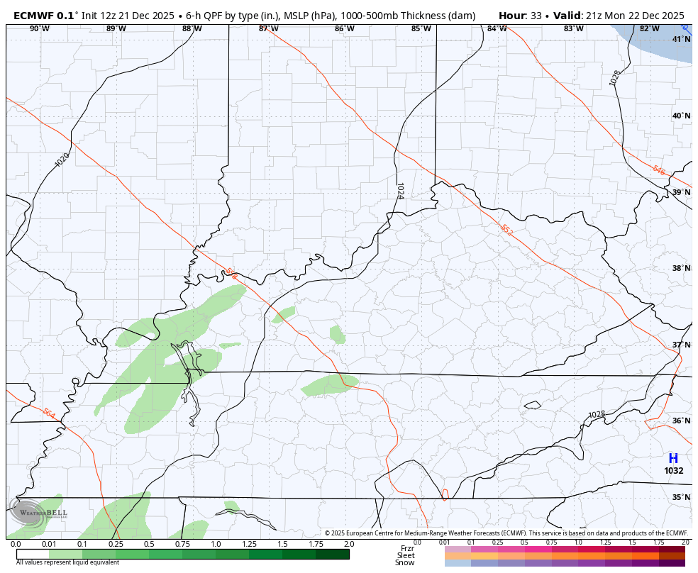
We know this week is super warm but it does come with some rain. Gusty showers kick in late Monday and will carry us through Christmas Day…
A weak boundary slides in with a touch of a temp drop late Friday before a stronger cold front arrives about a week from today. Here’s how the EURO sees it…
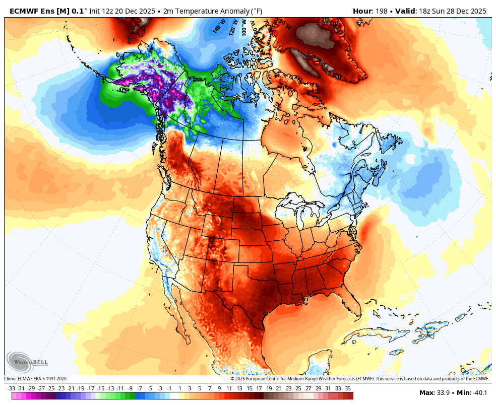
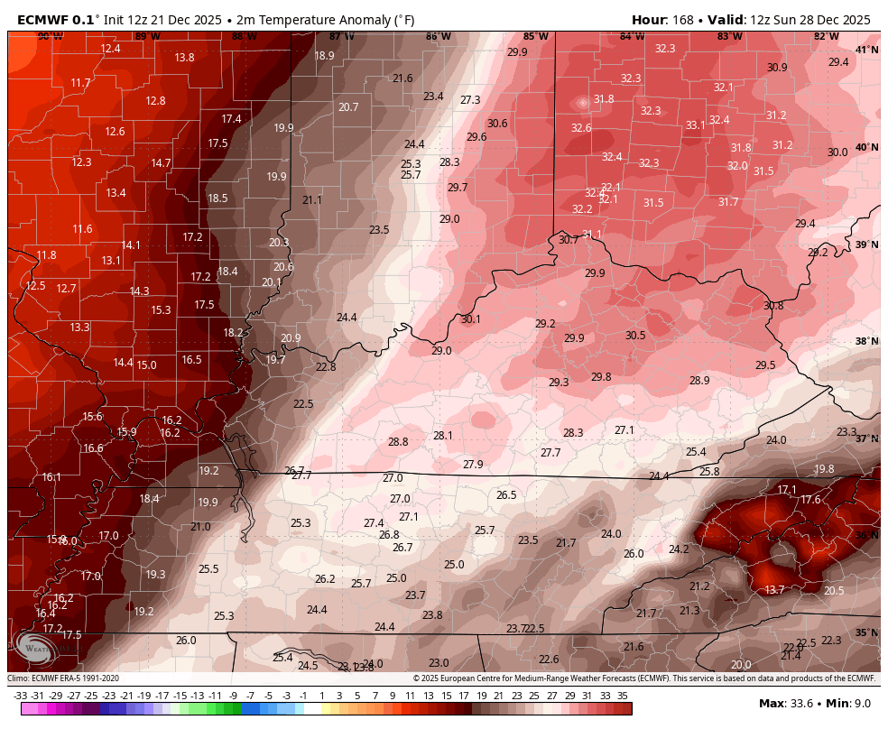
In true fashion, temps go from way above normal to well below normal in about a day. This goes from Sunday morning through the following Monday…
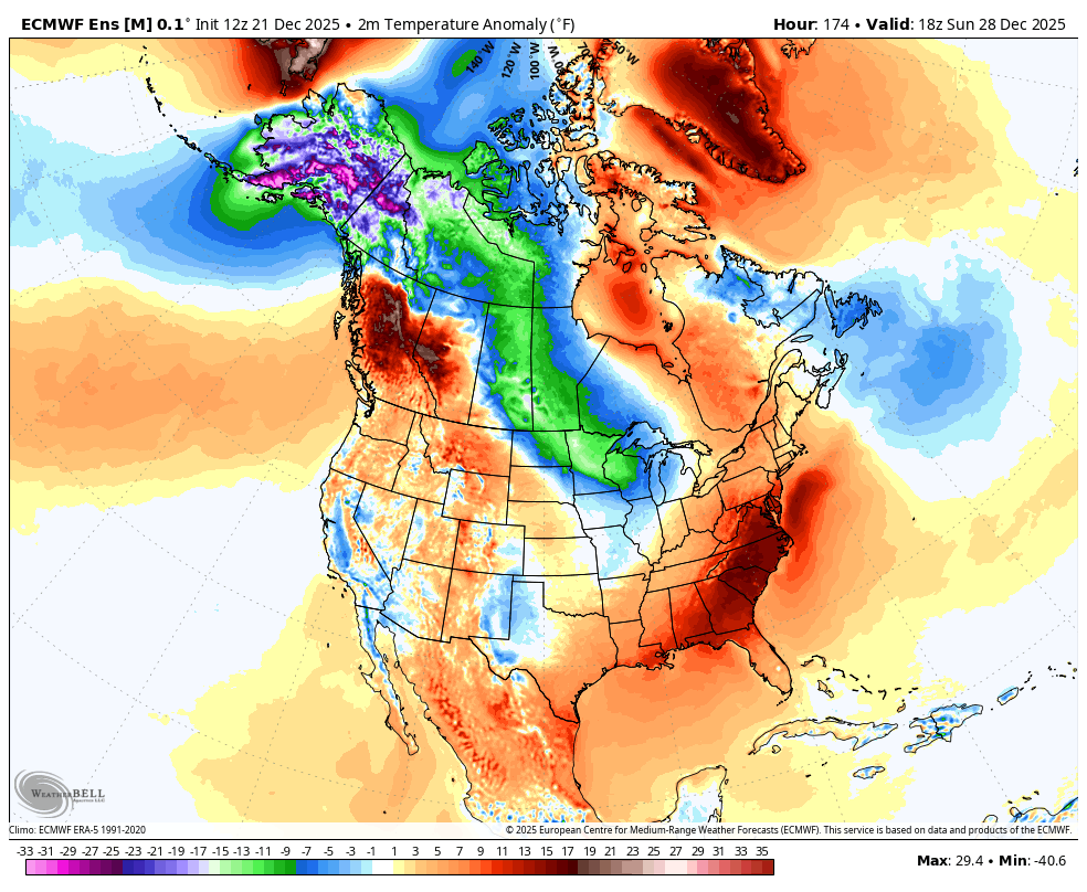
This cold blast is something the operational models have been picking up on, especially the Canadian. The EURO is obviously seeing it too. The various ensembles have not been seeing this, but today’s EURO Ensembles is picking up on it.
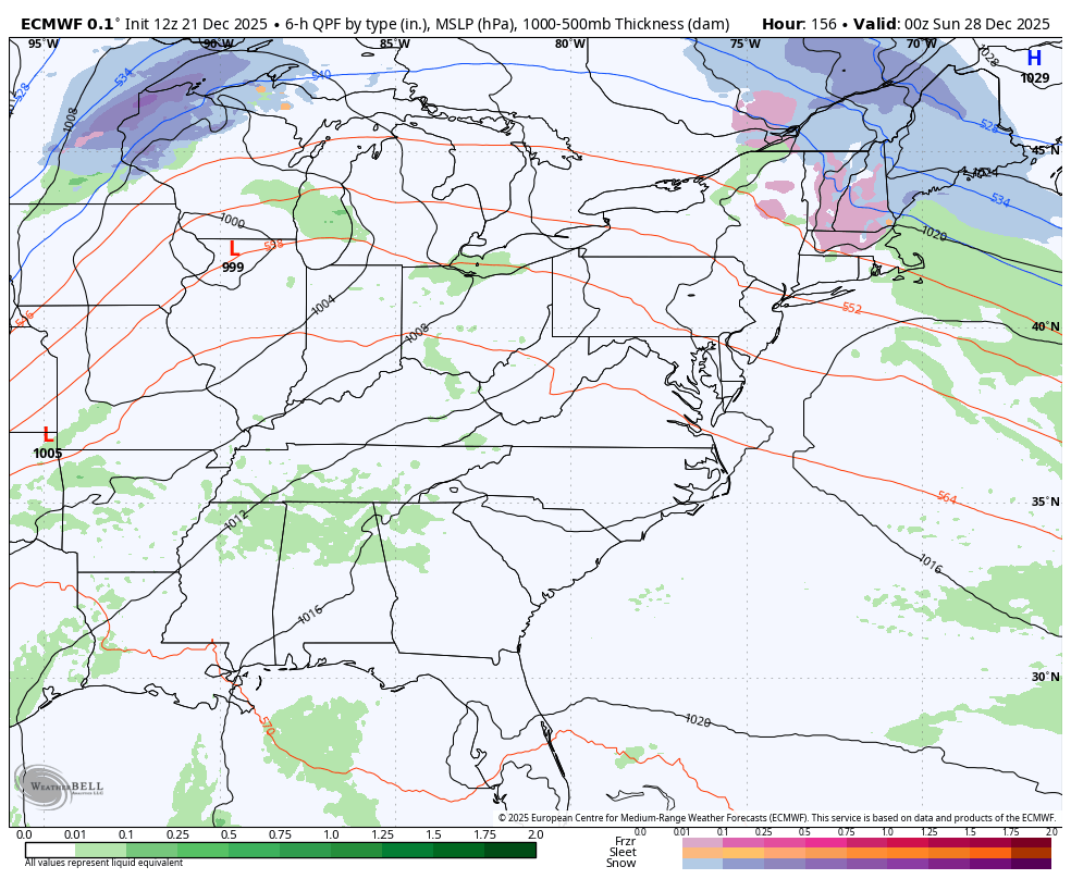
Watch the cold shot showing up on today’s run…
Look yesterday’s run for the exact same time period…