Good evening, everyone. Our normal weekend is off and running on an anything but normal weather note as temps keep running warm. This warm air reaches the peak on Sunday before an arctic front surges in with a massive change for Monday.
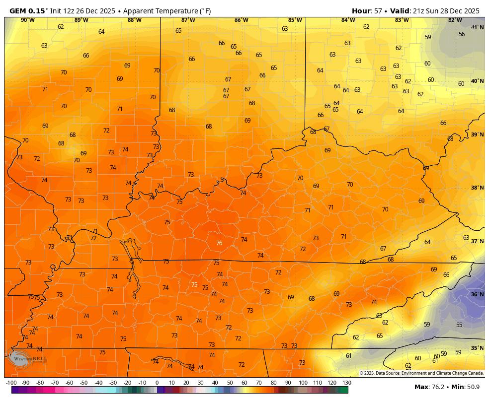
Temps Sunday will likely reach 70-75 degrees in some areas, breaking records along the way. Winds gust up and may reach 40mph or greater along and ahead of the arctic front Sunday afternoon and night.
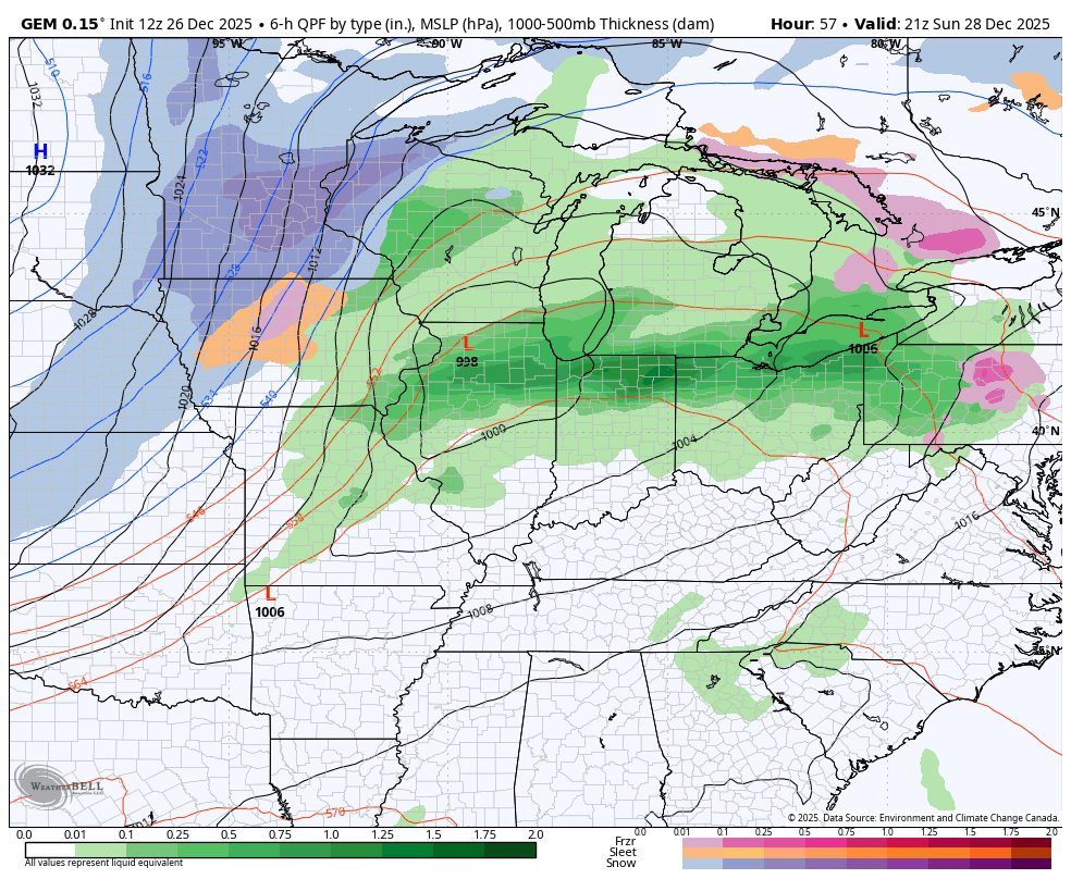
As the front moves in, showers and thunderstorms show up along and ahead of it. There’s even the chance for a few strong or severe storms Sunday evening into the wee hours of Sunday morning.
The Storm Prediction Center has a Marginal Risk for severe storms for much of the region Sunday…

That front slams through with a massive drop in temps and the chance to a few snow showers and flurries right behind it with a few wraparound flakes…
The temp change coming in with this is dramatic. This temp animation starts Sunday afternoon and goes through Monday evening…

Wind chills during the same time are even more dramatic…
Shew boy, that’s wicked!!!
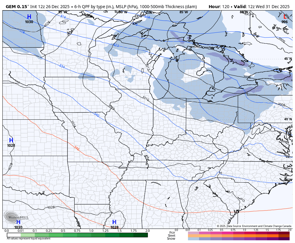
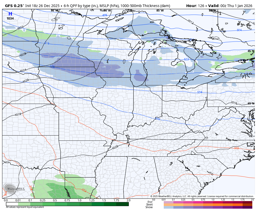
The next arctic front arrives early New Year’s Day with some light snow and snow showers…
Canadian
GFS
The full update comes your way later tonight. I’ll also have a few updates on my Meteorologist Chris Bailey Facebook Page
Until then, here are your tracking tools for the day…


Make it a fantastic rest of your Friday and take care.
