Good Monday, everyone. It’s a whole new ballgame out there today behind the arctic front that slammed through the state last night. This caused all kinds of wild weather and that wild continues out there today with bitterly cold wind chills and some flakes.
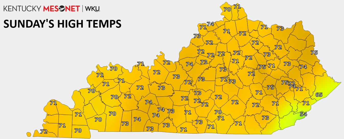
Before we get to the look ahead, take a look back at what was one of the warmest December days on record for Kentucky with highs in the low and middle 70s…
Transition to today with temps in the 20s surging from west to east this morning and hanging there for most of the day…

Actual air temps are 40 to 50 degrees colder than Sunday afternoon with wind chills making it feel more than 60 degrees colder. Those bitterly cold wind chills drop into the single digits for some today and likely stay there through Tuesday morning. This animation goes from this afternoon through Tuesday morning…

A few flakes will be flying early this morning with a better shot for a few flurries and snow showers later today into tonight as a northwest wind kicks in. A few of the models continue to show the chance for a coating across the eastern half of the state…

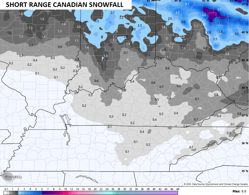 The next system comes in from the northwest New Year’s Eve and Day and should bring a light accumulating snow along for the ride. The best chance for this quick-hitting holiday flake maker is across central and eastern Kentucky…

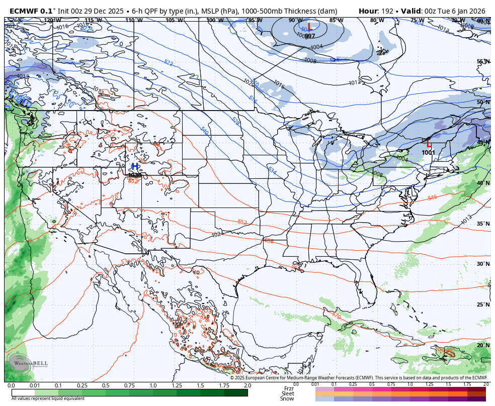
I continue to watch the blocking setting up for next week. That’s likely to feature a deep trough in the easter half of the country with a couple of storm systems trying to develop underneath. The Euro continues with the signal…
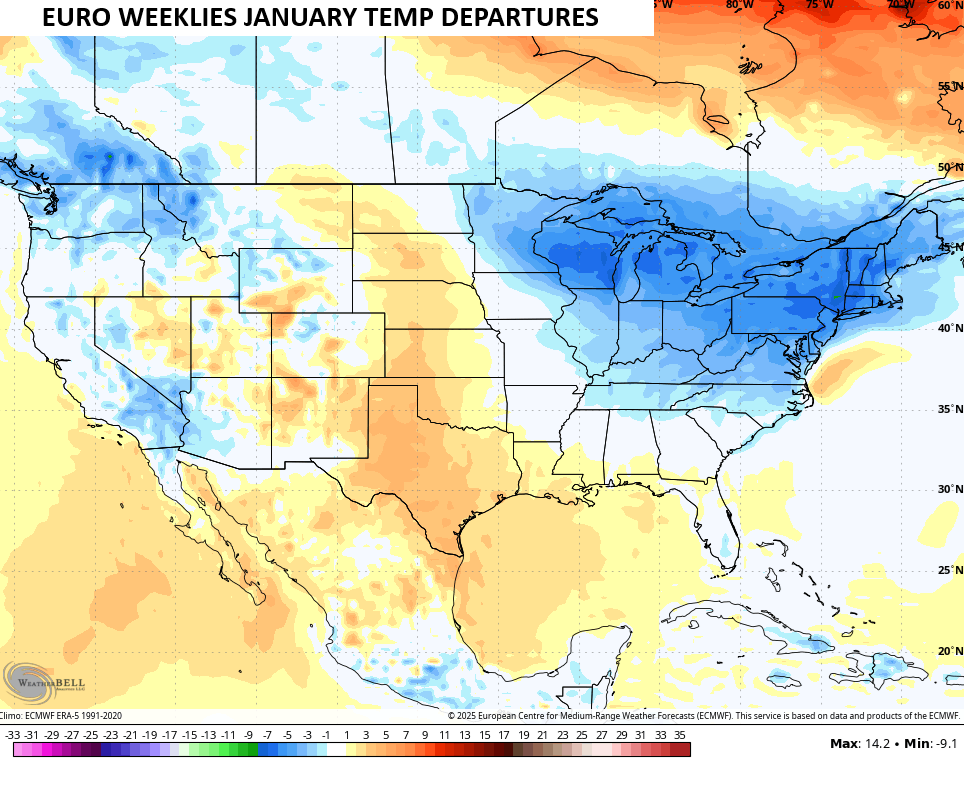
The EURO Weeklies continue to show a cold look for the eastern half of the country for January…
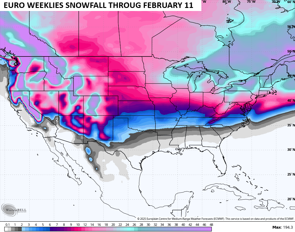
The pattern is also showing a healthy snow look into the first part of February…
Another update or two comes your way later today. I’ll also have a few updates on my Meteorologist Chris Bailey Facebook Page
Until then, here are your tracking tools for the day…


Make it a magnificent Monday and take care.

Not sold on the snow. Sorry.
Light Snows maybe from Clipper Systems, but only for those North and East of the La Nina jet stream. In about a week, we will see a repeat of what we had last evening. Be glad when this long playing weather pattern ends, and the PDO turns positive, but that may be many years from now ?