Good evening, everyone. A few flurries are passing through the region this evening as we watch for the New Year’s Eve light snow maker that impacts parts of the state. This may cause a few travel issues for the north and east.
There’s a light snowmaker that impacts the far northeast later tonight and I can’t rule out some coatings. The slightly bigger system arrives New Year’s Eve with a band of snow that drops in from northwest to southeast.
Here’s the future radar from the HRRR showing this…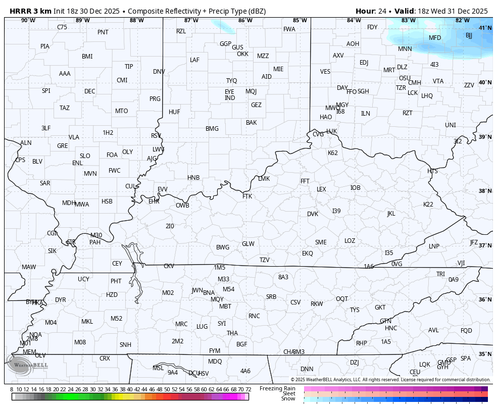
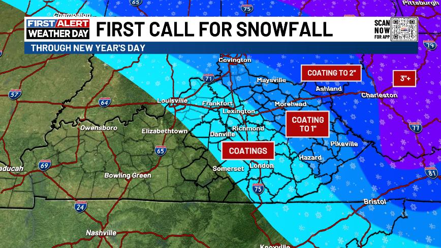
Your First Call For Snowfall highlights the best chance for accumulating snows in the north and east with a very sharp cutoff on the western edge…
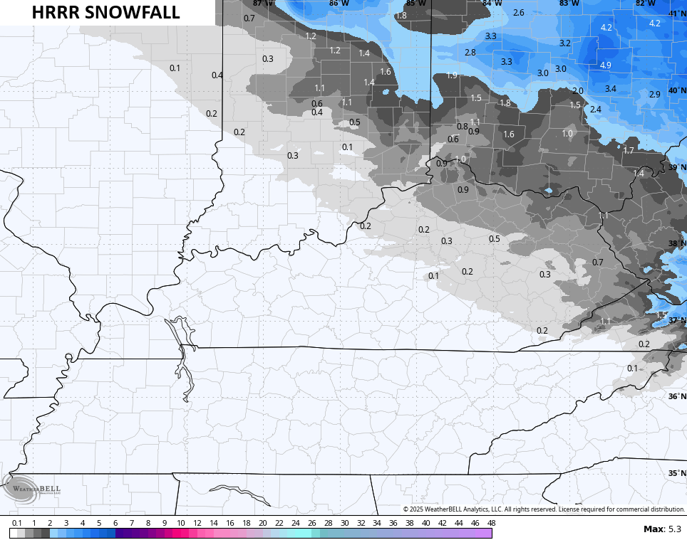
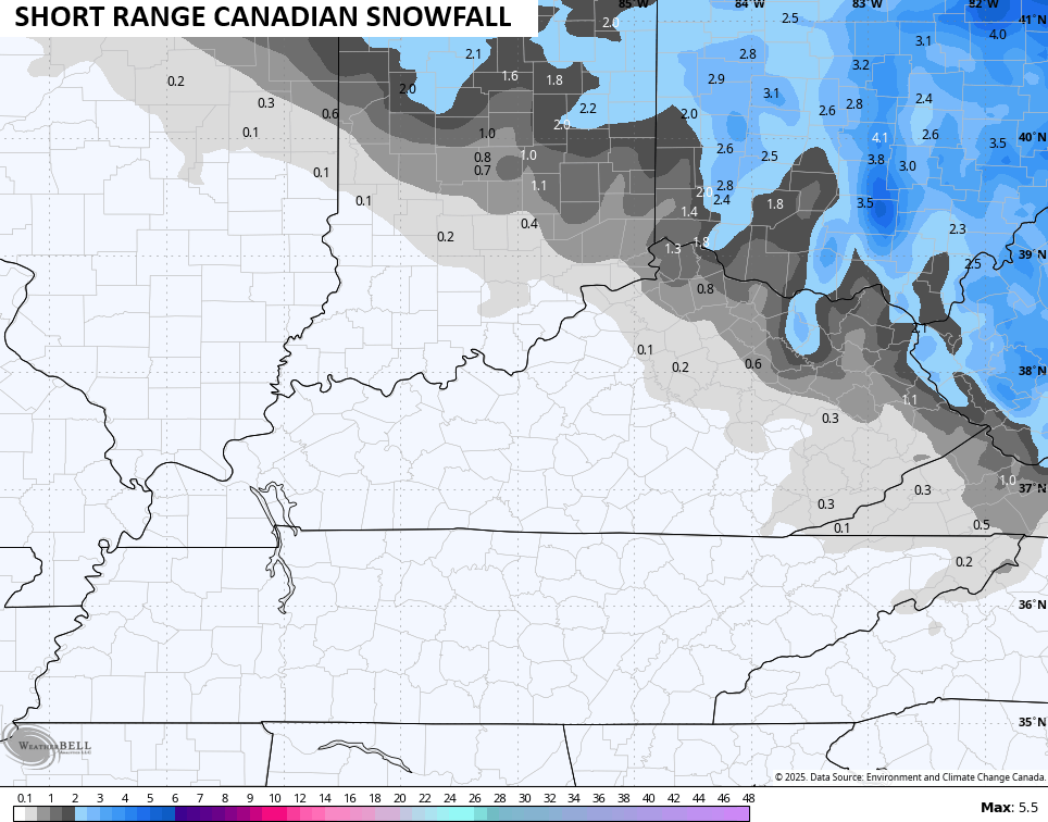
I generally agree with what then HRRR and Canadian are doing…
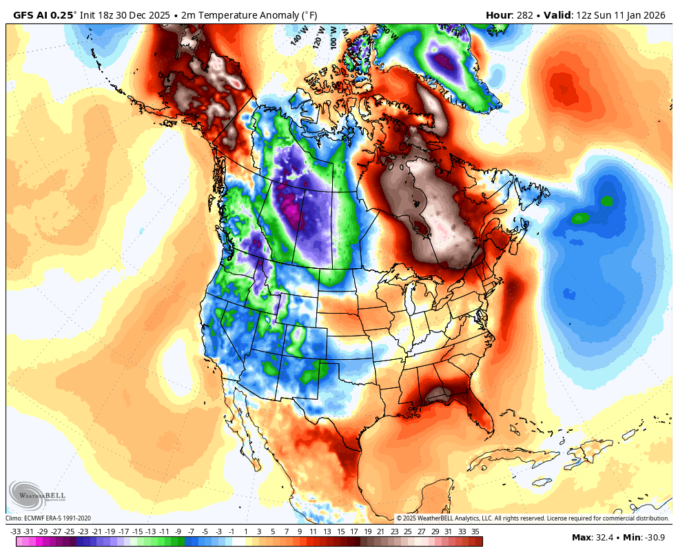
Temps drop for New Year’s Day then bounce back for Friday then drop again over the weekend.
The big change to a harsh winter pattern might come just a few days after what I’ve been thinking. Instead of later next week, it may be a few days after that before the pattern turns harsh…
The main update comes your way later tonight. I’ll also have a few updates on my Meteorologist Chris Bailey Facebook Page
Until then, here are your tracking tools for the day…


Make it a great evening and take care.
