Good evening and Happy New Year. I wanted to drop by for a very quick update on the pattern as we close out 2025 and roll into 2026. This is a quickie post, so it won’t take a lot of your holiday time.
We know the light snow is moving through parts of central and eastern Kentucky tonight into early New Year’s Day.
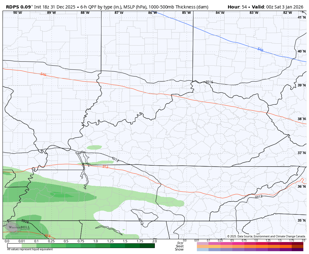
Once this moves away, the focus is on a southern system set to bring light rain and a light mix from west to east across the state Friday night and Saturday. The models are trying to figure out just how far north this action can get.
Here’s the Short Range Canadian with it…
And the NAM…
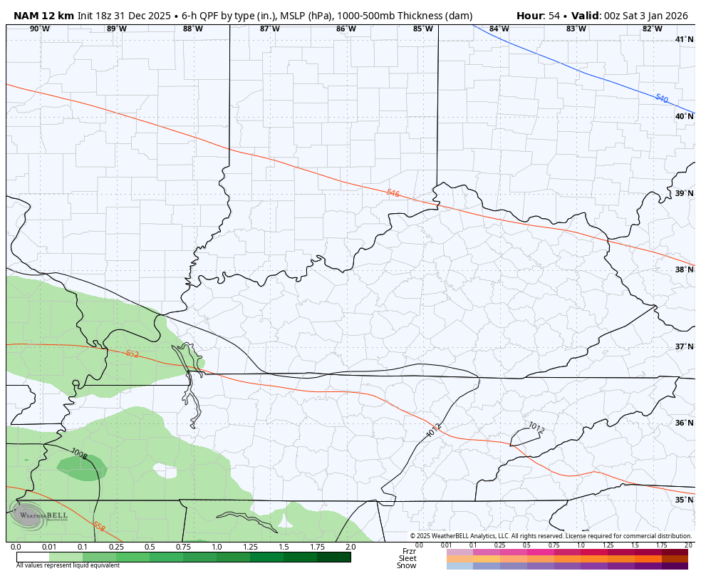
The farther north this thing can get, the better the chance for some mixed stuff. This may wind up being more of a sleet/rain look than anything else.
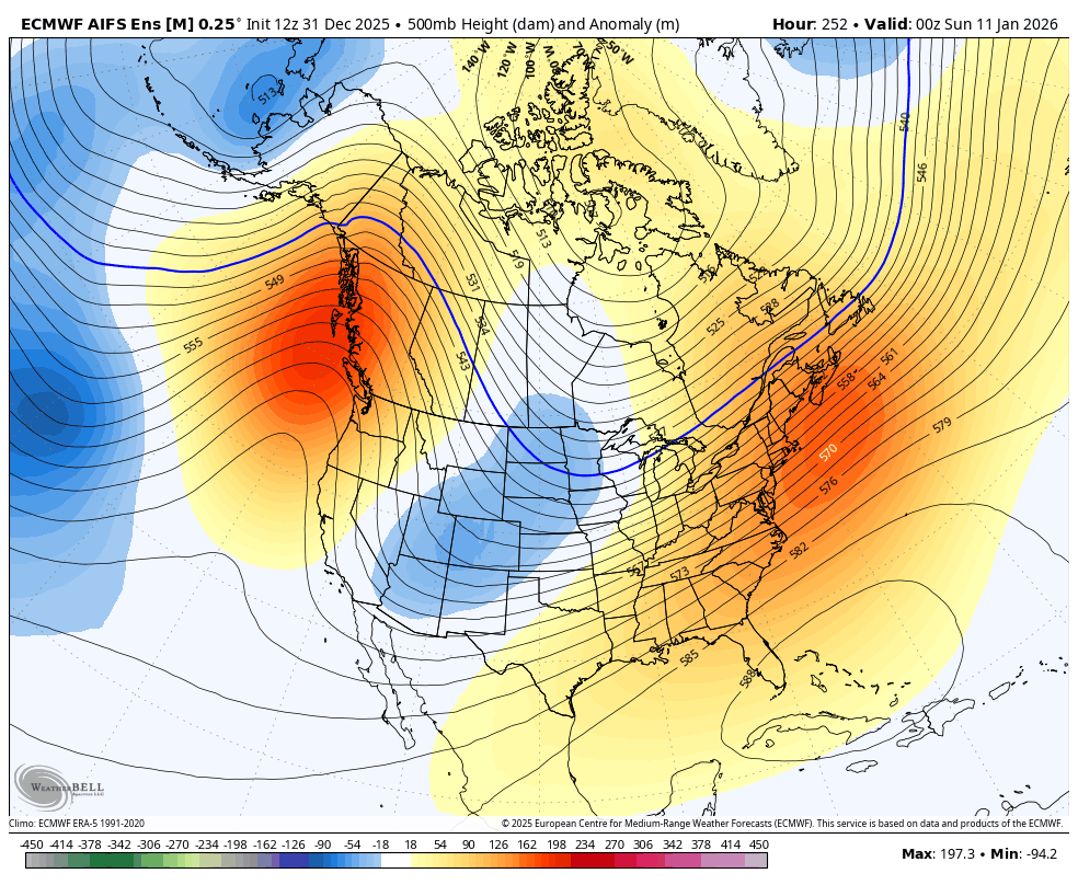
Temps turn milder early next week as our harsh pattern is a little slower to settle in. The AI Ensembles are seeing it well…
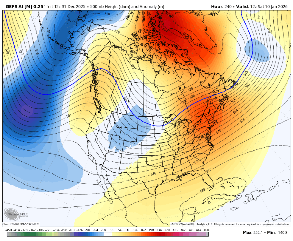
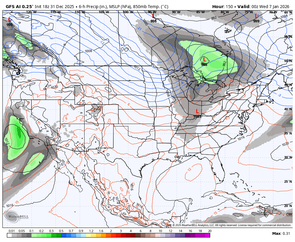
The GFS AI is also seeing it very well and is also showing an active storm track…
The full update comes your way later tonight. I’ll also have a few updates on my Meteorologist Chris Bailey Facebook Page
Until then, here are your tracking tools for the day…


Make it a wonderful New Year’s Eve and take care.
