Good evening, everyone. It’s full steam ahead toward a wild weather swing coming up later this week into the weekend. This storm system brings everything from strong storms and near record highs to wind chills in the teens and some snowflakes.
In the short-term, watch for some fog to fire up later tonight and early Wednesday.
I have no changes on the late week system and the Storm Prediction Center is now highlighting a low-end severe threat in the west for Thursday…

They have scaled back the threat for Friday…

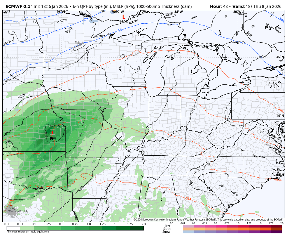
I’m also looking at the heavy rain threat targeting the region with the potential for 1″-3″ of rain for some, especially in the east and southeast. That could very well lead to a high water threat for Friday and Saturday.
The Weather Prediction Center is monitoring this possibility…

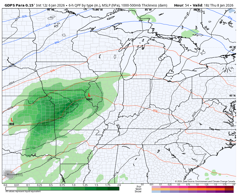
Most of the models have the same general idea with this system. Here’s the EURO…
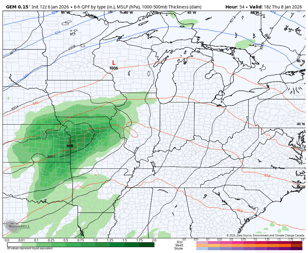
The Canadian family of models…
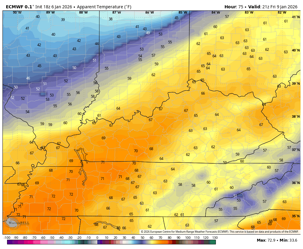
Temps hit deep into the 60s and may push 70 Friday then again in the east on Saturday. As the front blows through, wind chills reach the teens by Sunday morning. This animation shows the feels like from Friday afternoon through Sunday afternoon…
The pattern continues show off some big dips in the jet stream next week into the week after…
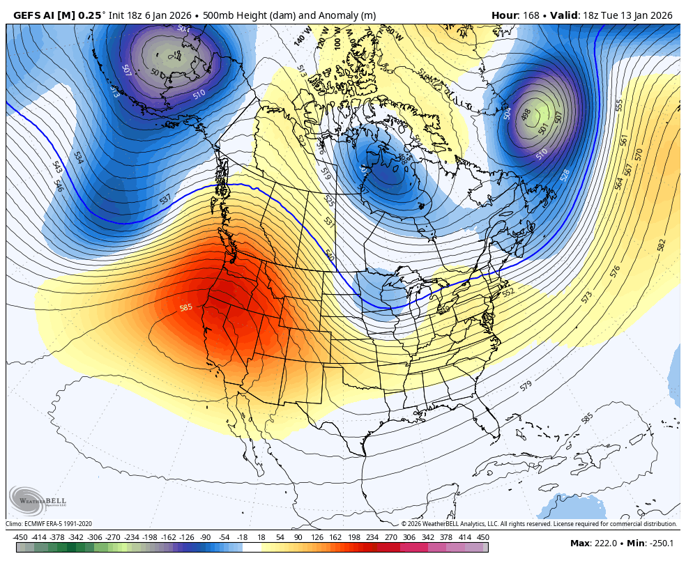
That will lead to a harsh winter pattern for much of the country.
My time is limited this evening so that’s all you kids get. Enjoy the evening and take care.

Thanks Chris, for the evening update. I hope Winter weather returns, before Winter is over.