Good evening, everyone. Our latest wild weather ride has come and gone and now it’s time to look ahead to a winter pattern threatening to turn harsh in the next week. Once this settles in, it’s likely to hang tough for a while.
My time is short this evening and I don’t have a lot to add on top of what we’ve already talked about.
We have two big systems of interest to track in the week ahead.
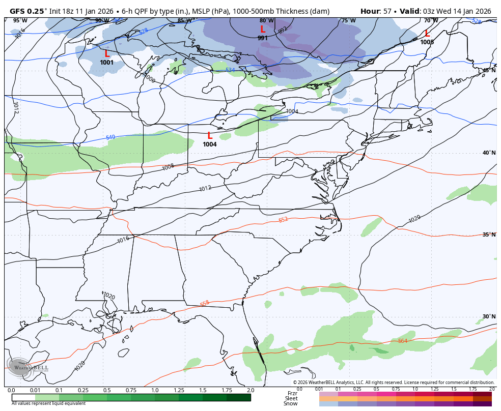
The first arrives Wednesday as a potent system drops in from the northwest. This is an arctic shot of air pushing this with rain ahead of the front and snow behind it. The low popping to our east is likely to be kinda meh as the next system is likely to push it. The flow behind it is the first flow in a while that may be able to bring widespread lake effect snows into our region.
The GFS looks better to me than earlier runs because I do like a weaker and more progressive system. Still, it should be able to put down some accumulations late Wednesday and Thursday…
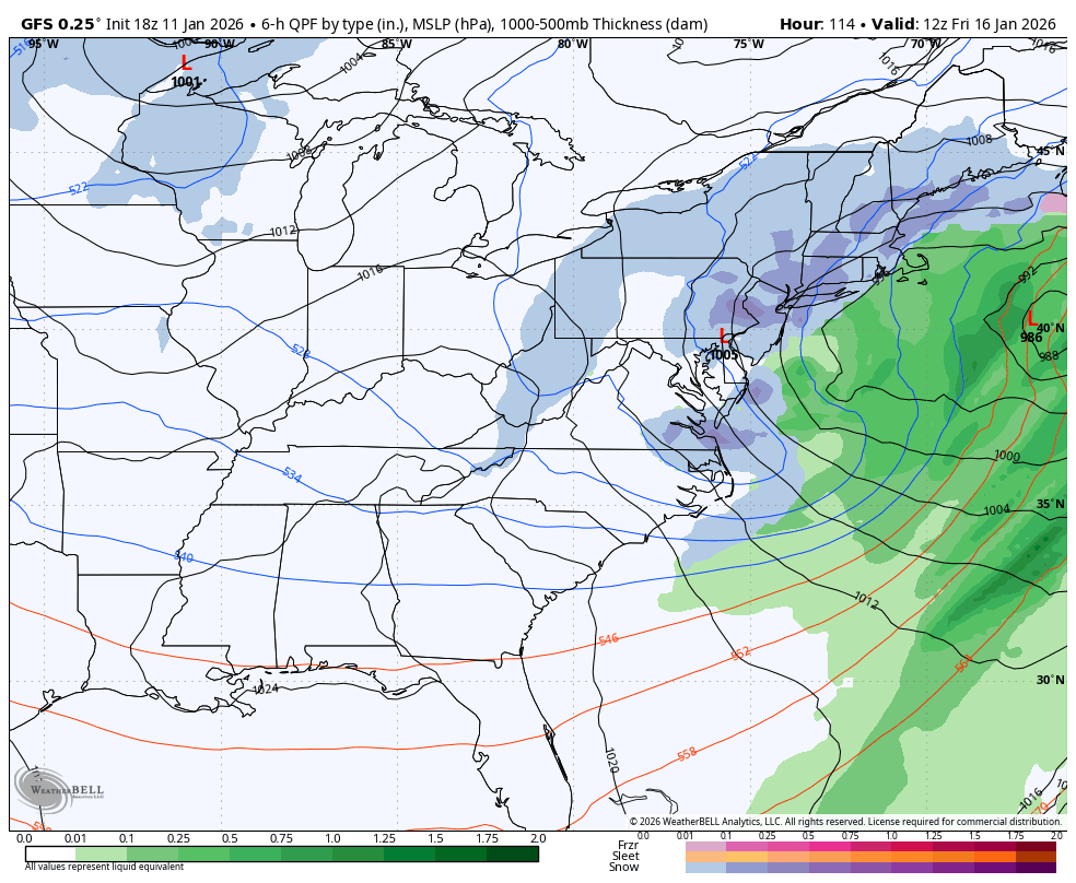
I’m also liking the idea it has with the system behind it arriving Friday into the weekend as it’s seeing more of the arctic air likely to drop in here. This will be a close call on whether or not that upper low digs enough to form a much stronger system.
Just like earlier runs from this provider, the precipitation type algorithm is jacked up. None of the precipitation in our region is anything but snow…
With bitterly cold temps surging in, the fluff factor may very well be way up there!
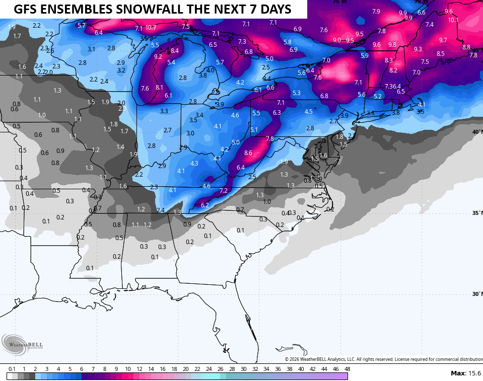
The GFS Ensembles don’t include a fluff factor as they are strictly 10-1 ratio based. Still, this is a nice signal over the next week…
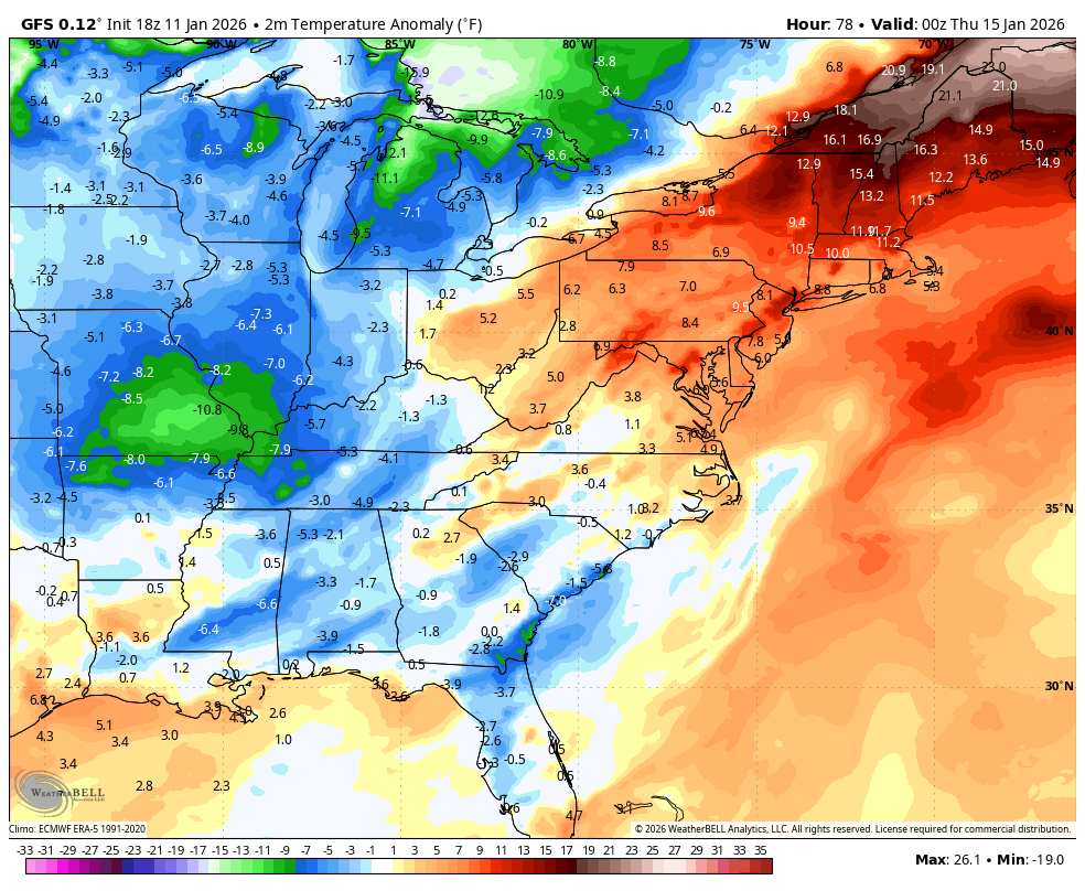
The forecast models are now seeing the arctic air coming in behind both systems over the next week. Barney is increasing on the GFS…
Barney is also increasing on the GFS Ensembles…
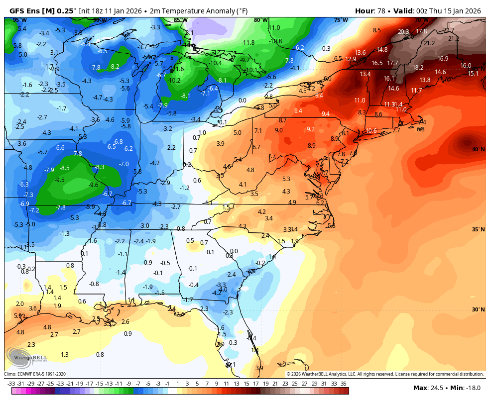
This would be that mid-month arctic outbreak I’ve been talking about since late December finally showing up.
I’ll have your full update later tonight. Have a good one and take care.

Not buying it.