Good evening, everyone. We are wrapping up a very nice day across Kentucky with Tuesday looking even better. Beyond that, things take on much more of a true January look and feel for the second half of the week into the weekend.
I really don’t have much to add to my prior posts as things remain on track for some light snows and bitterly cold wind chills.
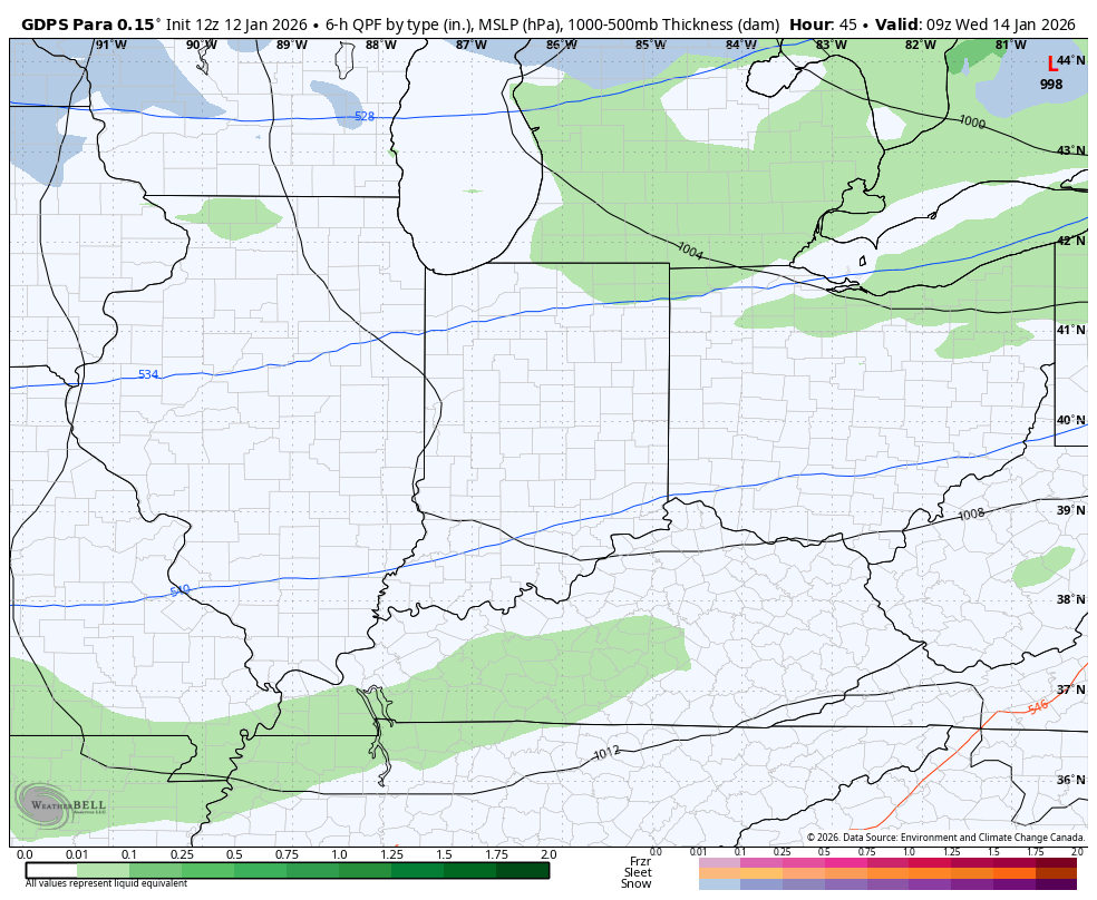
That first system arriving Wednesday has rain ahead of it with a change to light snow then snow showers. The Parallel Canadian shows this and shows our Lake Michigan plume…
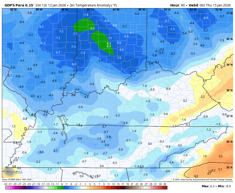
Wind chills hit the single digits Wednesday night into Thursday as temps go well below normal behind this shot…
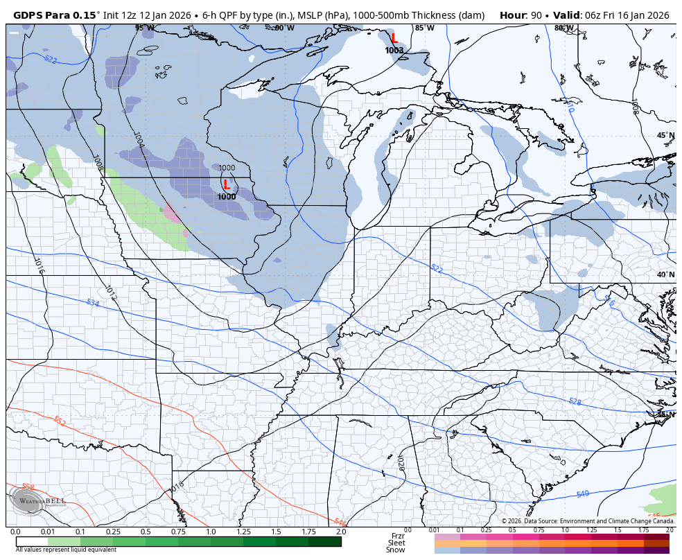
The setup for the weekend will several systems dropping in from northwest to southeast. Each of them will produce some light snows in our region and that may take us all the way into early next week…
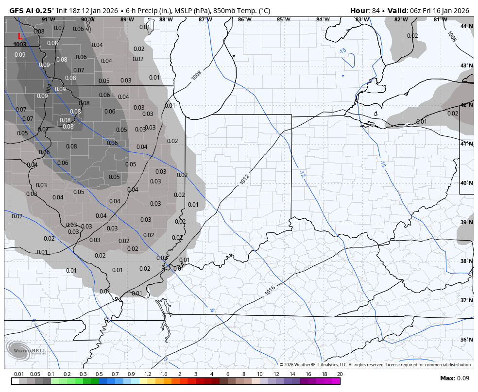
The GFS AI doesn’t show precipitation type, but it has a similar look with several of these light snow systems…
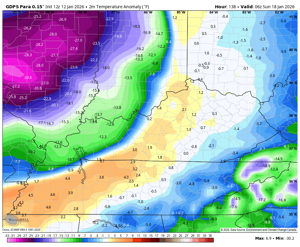
Bitterly cold air comes in behind this starting late Saturday and going through early next week. Look at the Barney from the Parallel Canadian…
Wind chills can drop below zero from time to time.
