Good Tuesday to one and all. We have a VERY nice day taking shape before Old Man Winter settles back into the Bluegrass State. Several light snow makers will move across the region starting Wednesday with bitterly cold temps coming along for the ride at times.
Before we get into the weather part of the program, I generally don’t go ask for votes in these kinds of things, but if I win, I’m donating the $500 to a local charity/good cause…

Here’s the link to vote: VOTE FOR ME
You guys can vote once a day per email account. We have an election saying where I grew up… Vote early and vote often. IYKYK 😎
Temps out there today are in the 50s for most of Kentucky with a 60 possible in the west and south. Winds are cranking as well and may reach 35mph-40mph at times this evening. That’s ahead of a potent system dropping into the Ohio Valley later tonight and Wednesday.
Rain develops across the state tonight as our cold front drops in from the northwest. This front passes and temps tank with rain changing over to light snow from northwest to southeast Wednesday afternoon and evening.
From there, snow showers and a few snow squalls kick in on a strong northwest wind flow Wednesday night and Thursday. That flow comes right off of Lake Michigan and is aimed at central and eastern Kentucky. The models underestimate these plumes, and it may very well have a swath of decent, albeit light, accumulating snow.
The future radar from the Hi Res NAM only goes through 7am Thursday, but you can see everything I just talked about…
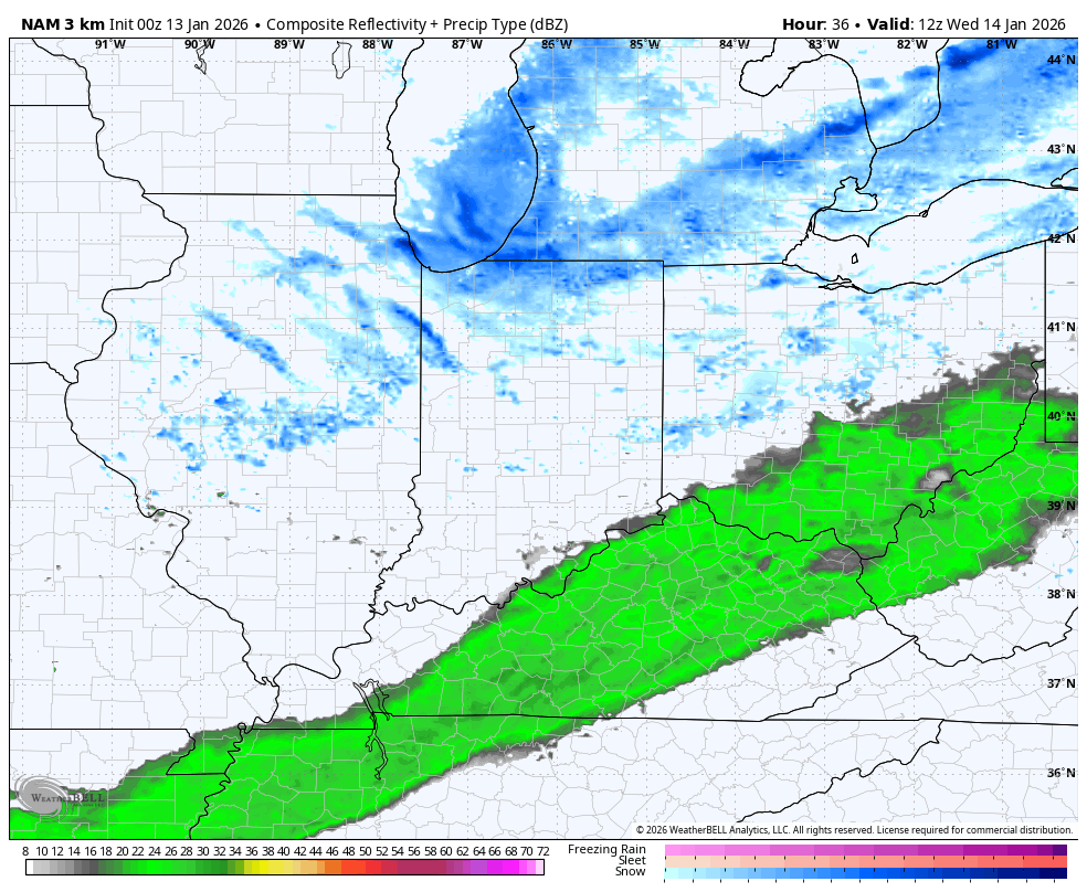
Light accumulations will show up during this time with a good chance for some delays and cancellations Thursday morning as temps drop into the upper teens.
Wind chills are brutal during this time as we drop into the single digits Wednesday evening and stay there into Thursday. This wind chill animation goes from 7am Wednesday to 7am Thursday…
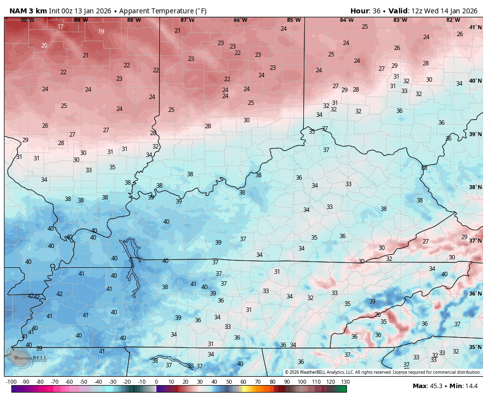
That’s REALLY cold, folks.
The next system then drops in by Friday morning with a swath of light snow and flurries. This is barely into the range of the NAM, but it’s showing some light snow impacting the Friday morning commute. This animation ends at 7am Friday…
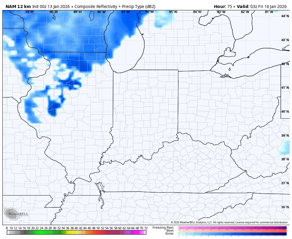
That’s the first light snow maker that blows through here with additional light snow makers blowing through this weekend and early next week. None of these look exceptionally heavy, but the one on Saturday and Saturday night appears to be the strongest of the bunch.
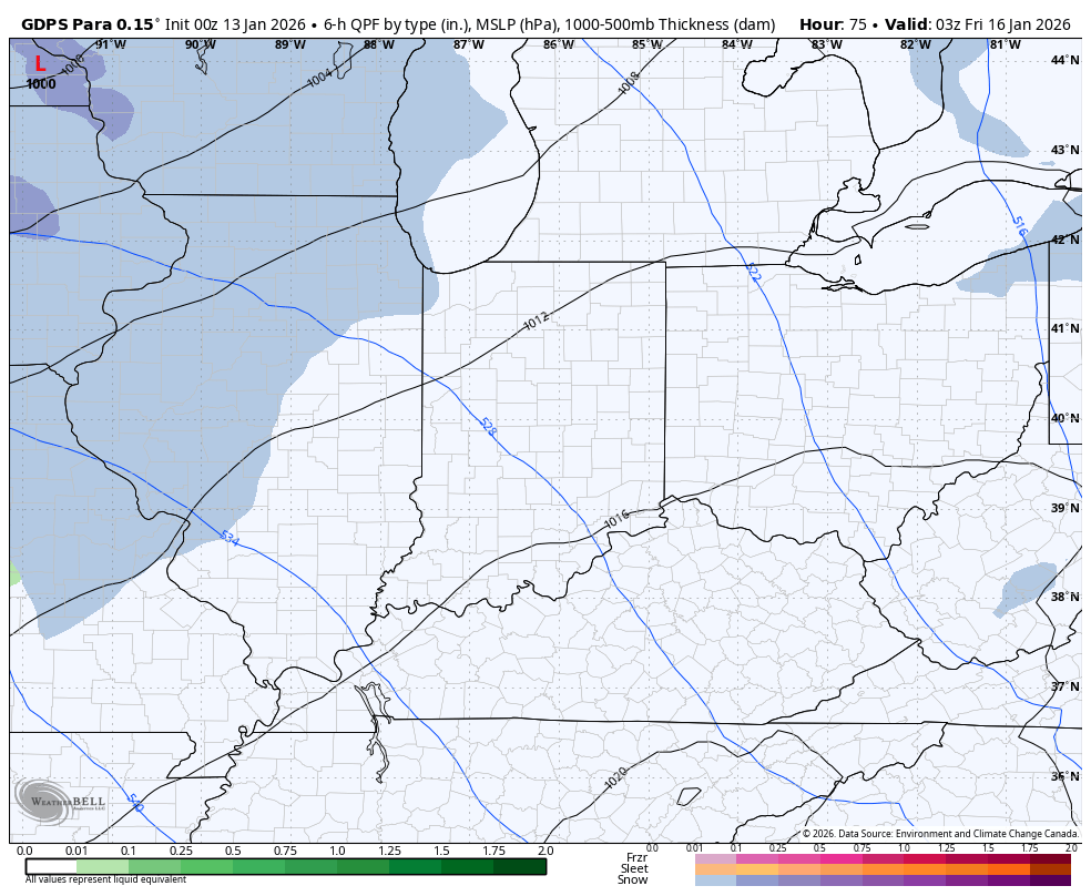
The Canadian starts with the Friday system and goes through Monday evening. You can clearly see three separate light snowfalls…
The Parallel Canadian is a little more robust with the light snow systems…
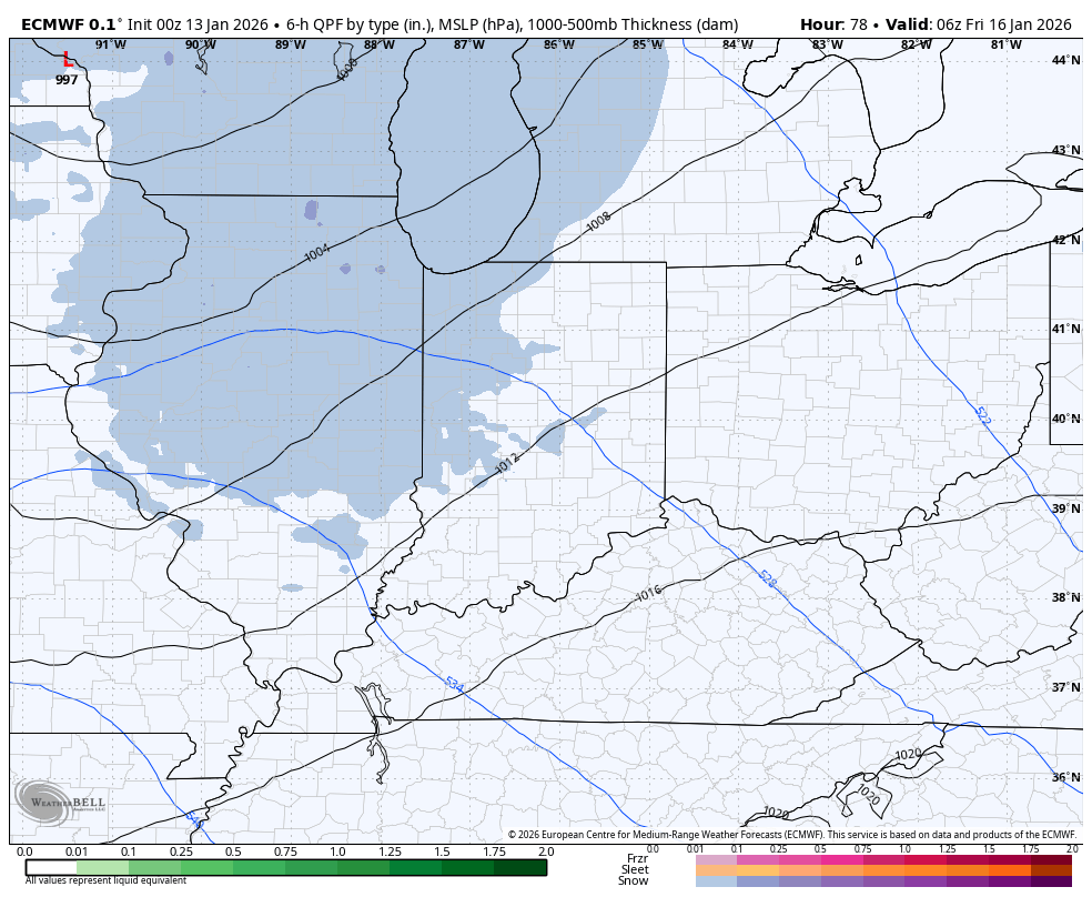
The EURO Has a similar look to what the Canadians are cooking up through the same time…
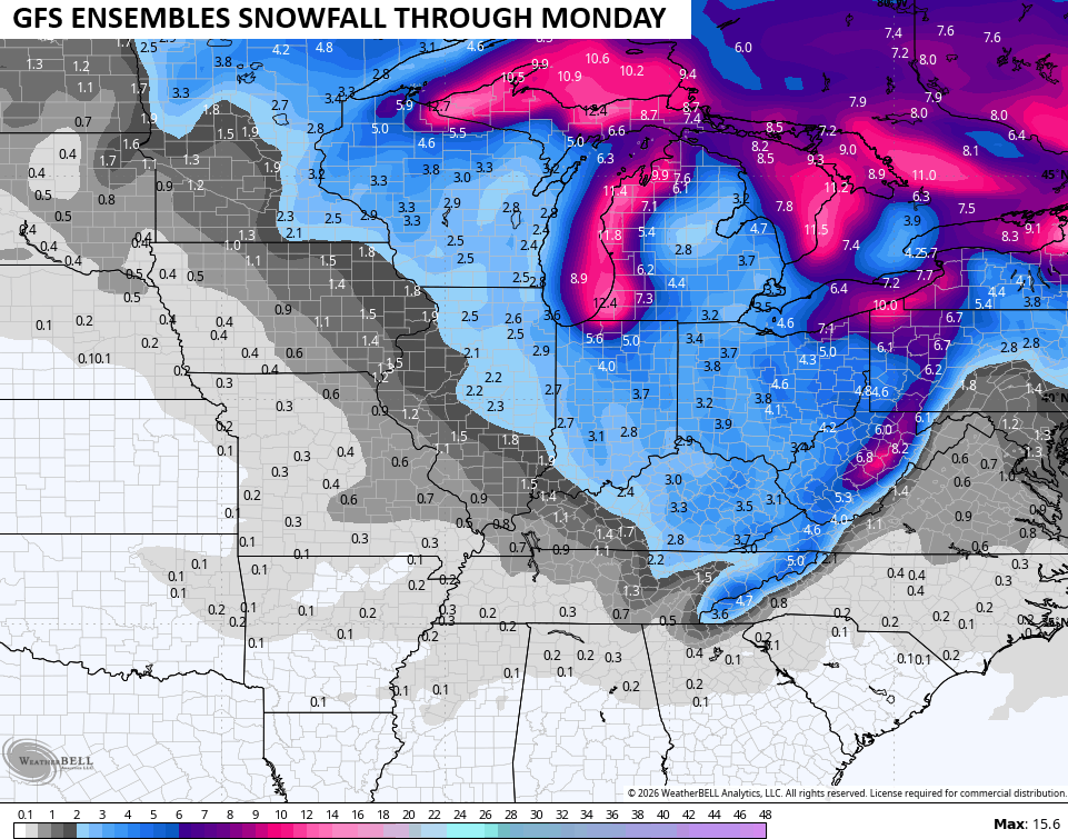
Light is the key word in talking about these snowfalls, but that doesn’t mean we can’t get some decent stuff collectively. The GFS Ensembles suggest accumulating snows…
I do expect travel issues to arise from time to time from this whole setup starting later Wednesday and going into early next week. Bitterly cold wind chills will be with us again this weekend and early next week with wind chills potentially going below zero.
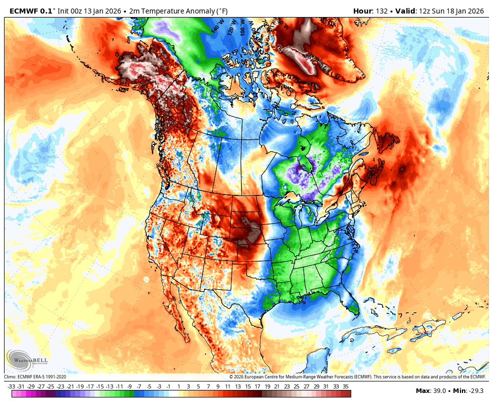
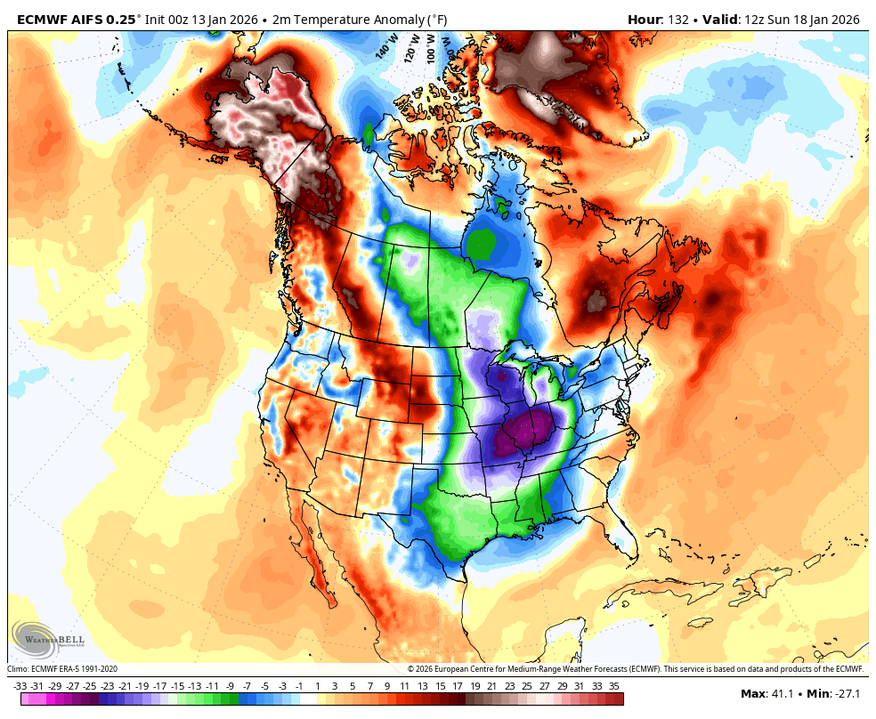
The stakes are being raised for even colder air invading our region and much of the country later next week into the following week as additional blocking shows up.
The EURO has a ton of Barney that just keeps coming at us…
The EURO AI is doing the same thing…
There’s a lot of winter coming in the next month. If y’all are reading this in hopes of some snow days… I think you will cash in.
Updates later today so check back. Have a terrific Tuesday and take care.

I don’t mind the snow at all. It’s the brutal cold I can do without. My heat pump isn’t a fan either.
Chris, I voted!