Good afternoon, everyone. We continue to track a series of light snow systems toward Kentucky in the coming days. The first one arrives Wednesday and is a rain to light snow and snow shower setup. Things turn even more wintry this weekend and early next week.
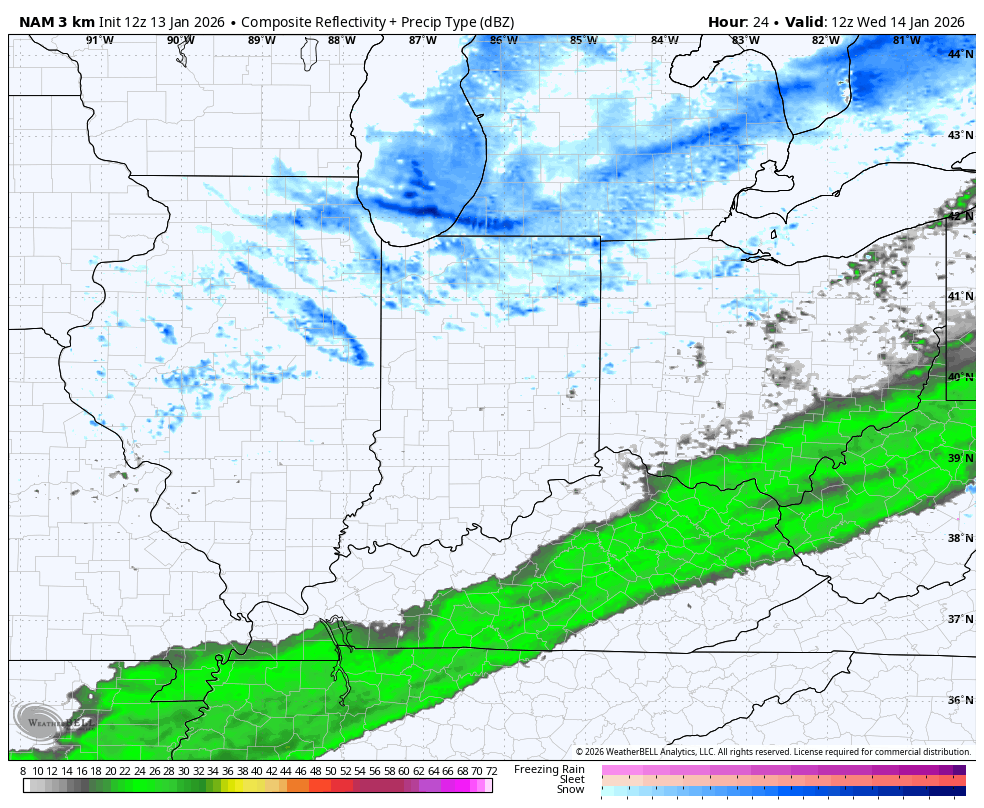
A cold front drops in here tonight and early Wednesday with an increasing band of light rain along and ahead of it. The band of rain is slow as it sags to the south, allowing the cold air to catch the back side of it, switching it over to light snow Wednesday afternoon and evening. That may be able to put some light accumulations down, especially in the east and southeast.
From there, STRONG northwest winds kick in with snow showers, snow squalls and flurries going up from northwest to southeast. These will primarily impact central and, especially, eastern Kentucky into the first part of Thursday. Again, light accumulations will be possible with these, creating some slick travel Wednesday night and early Thursday.
The future radar from the Hi Res NAM has it all…
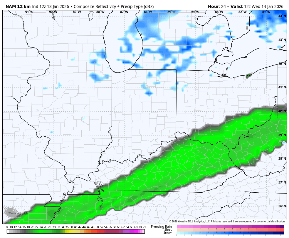
The future radar from the regular old NAM doesn’t have the same resolution and only shows precipitation location for every three hours, but still gives us a good look…
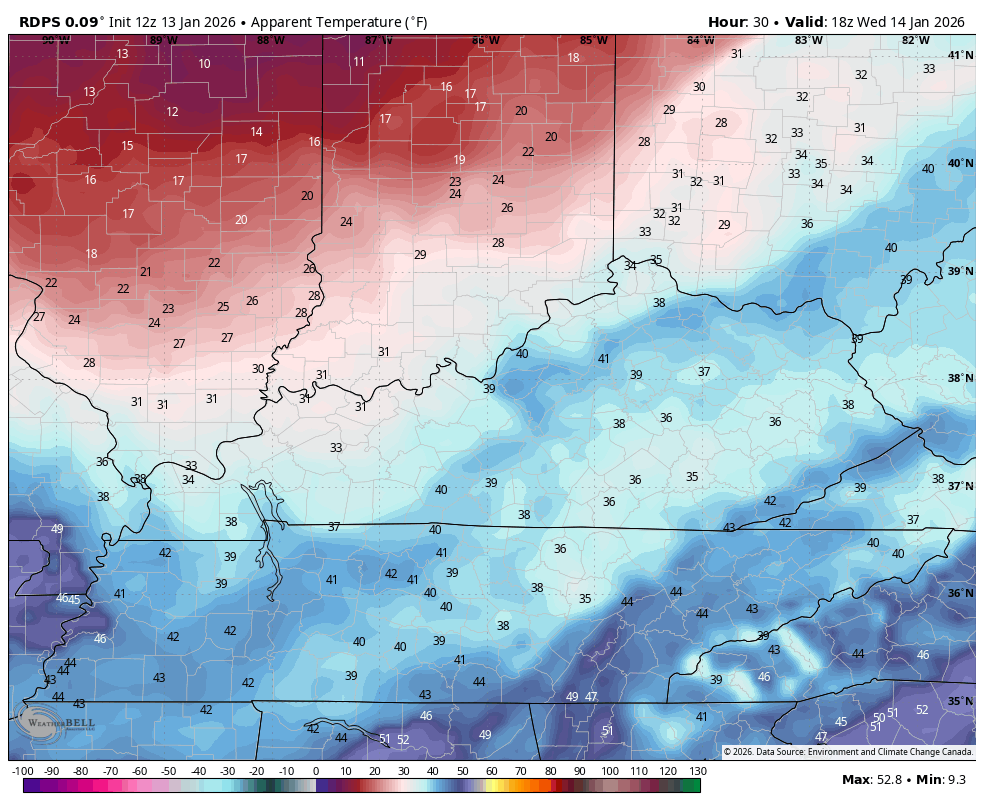
I do expect tricky travel for some Wednesday night and early Thursday as temps head toward the teens.
Wind chills continue to look brutal with single digits during this same time…
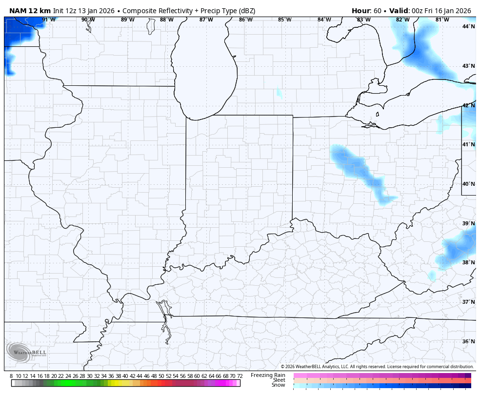
The next light snow maker rolls in late Thursday night and Friday and should put down light accumulations, too. This is more of a west to east moving system. Here’s the future radar from the NAM for Friday…
That kicks off a series of light snow makers rolling through our region into early next week, at least. With so many different systems moving in, the models are having a tough time with them, but they’re seeing them, even if they don’t quite know what to do with them.
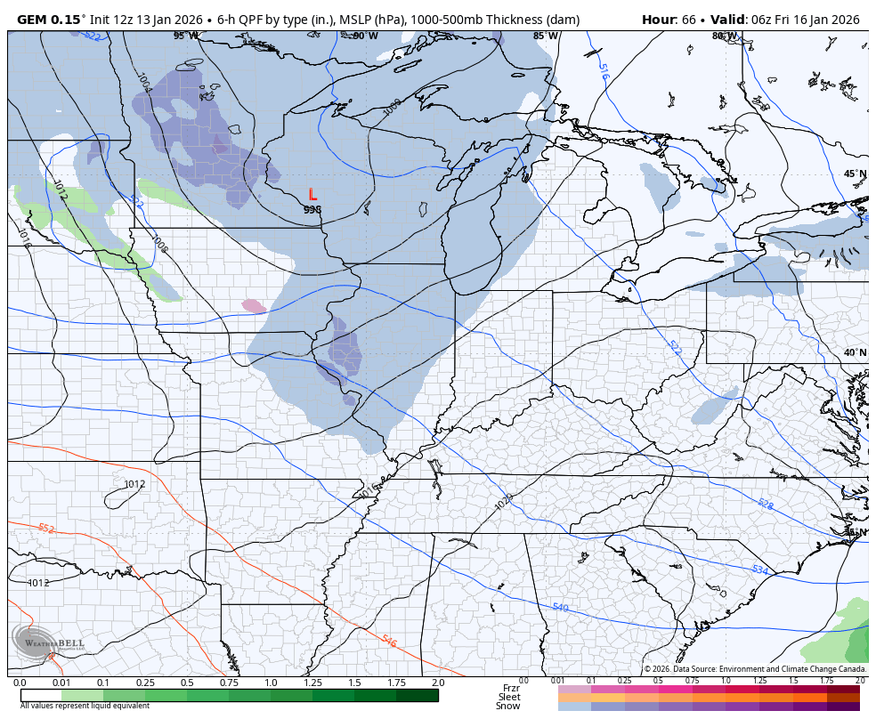
The Canadian continues to look pretty snowy during this time…
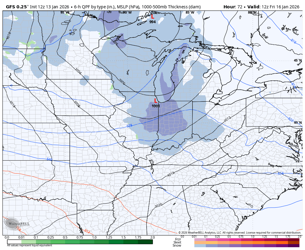
The GFS is sniffing them out finally…
I’ll have another update later and I’ll have the latest on WKYT-TV starting at4pm. I’ll also have a few updates on my Meteorologist Chris Bailey Facebook Page
Until then, here are your tracking tools for the day…


Make it a terrific rest of your Tuesday and take care.

The thing with these systems is that if any one of them does trend stronger, our lead time on it will be much shorter due to the models trying to handle all the energy. The floor is low, the ceiling is not super high, but could turn out to be higher than what we think it is today. We’ll just have to watch and wait…