Good evening, everyone. Snow showers and squalls continue to roll across central and eastern Kentucky, putting down enough snow to cause some local issues. I’m also eyeing the weekend for the potential for a bigger system.
The snow squalls this evening will continue into the overnight with local 1″ amounts showing up in streaks. The high mountains in the southeast will do it a little better than that. Still, we need to be on guard for slick roads developing tonight into Thursday morning. Some cancellations and delays are a good bet Thursday morning.
Wind chills are in the single digits tonight and early tomorrow.
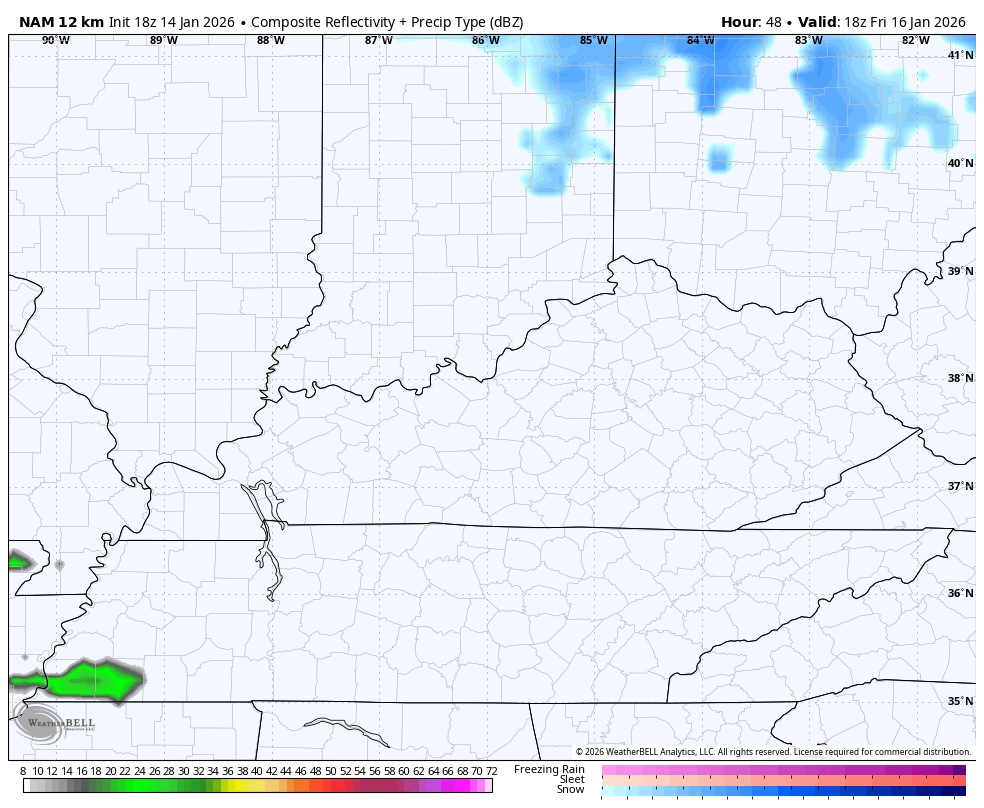
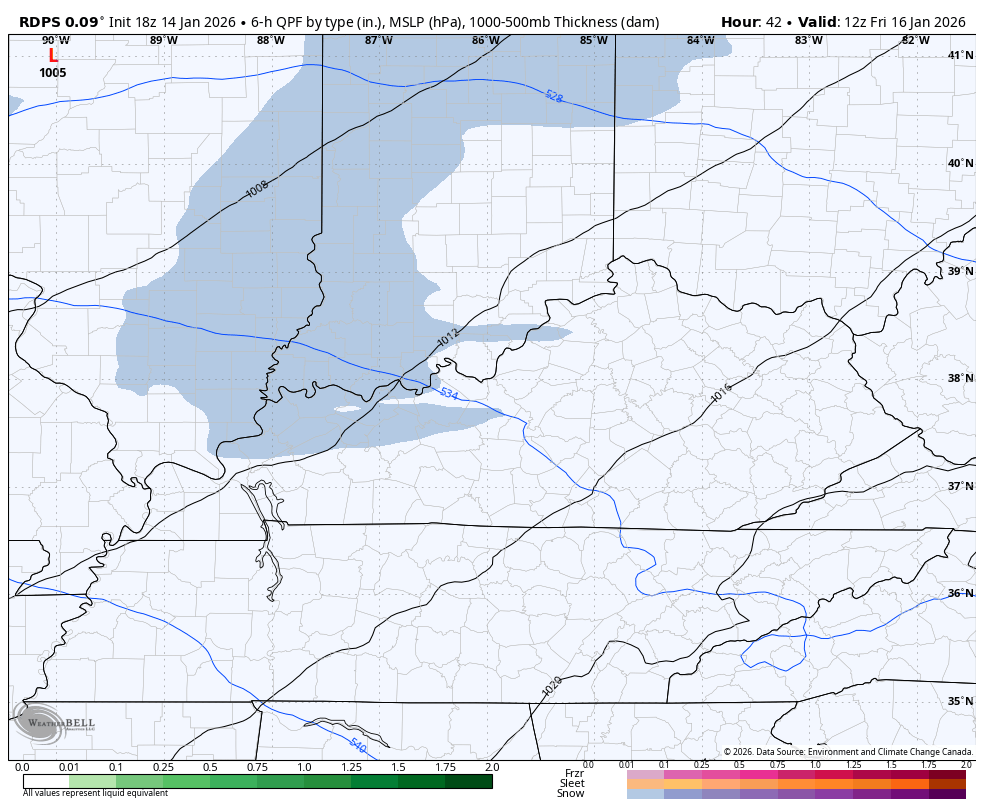
Light snow impacts parts of the state Thursday night and early Friday, but the main focus is on the system coming in Friday night and Saturday. Several of the forecast models are trying to make this into a bigger deal.
The late afternoon NAM being one of them…
The late day Short Range Canadian is doing the same with another period of light snow behind it late Saturday and Saturday night…
I’ll update all this on WKYT at 10pm and 11pm and with the full update later tonight.
I’ll also have a few updates on my Meteorologist Chris Bailey Facebook Page
Until then, here are your tracking tools for the day…


Make it a wonderful Wednesday evening and take care.
