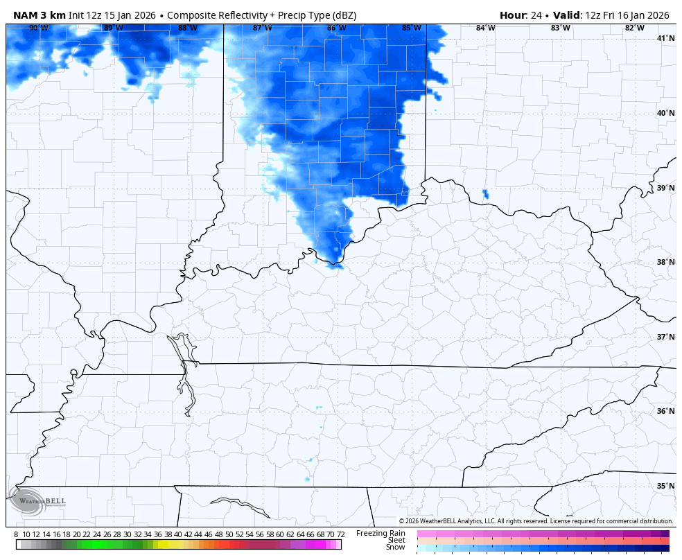
Good afternoon, everyone. We still have some snow showers and squalls impacting parts of the state as our focus turns toward a snow maker moving in late Friday into Saturday. This system likely has a decent swath of light accumulations with it.
The current snow showers and squalls have that direct pipeline to Lake Michigan, and it’s been awesome to see. These are mainly in the north and east and will still put down some hit and run accumulations that cause local travel issues.
A light snow system moves across western and north central Kentucky late tonight and early Thursday. Accumulations are light but the timing may impact the morning commute.
The system coming in from the southwest Friday evening may start as a bit of a mix and there’s the chance for a little rain on the southeastern edge of this at the state. Then we go over to a period of light snow that will be followed up by another light snow batch and snow showers later Saturday.
I think most areas see some snow from this, but here’s the area most likely to pick up on a few inches…
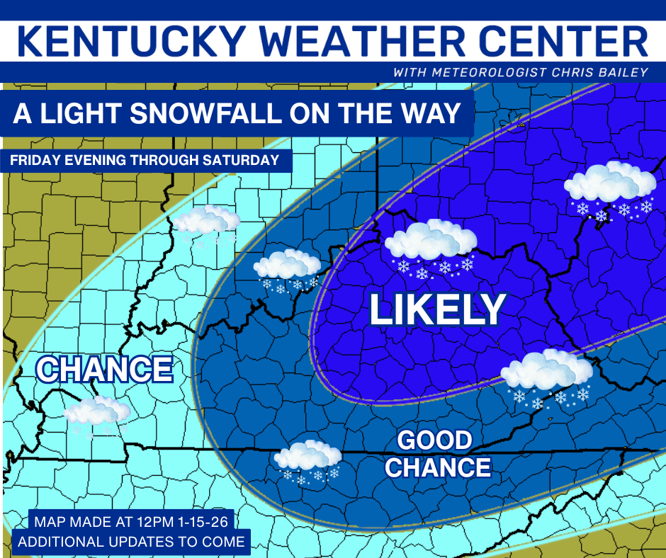
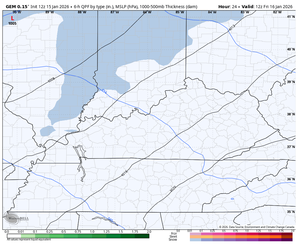
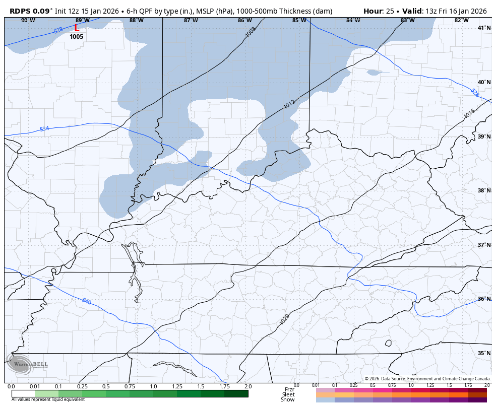
The Canadian family continues to be solid with this…
Canadian
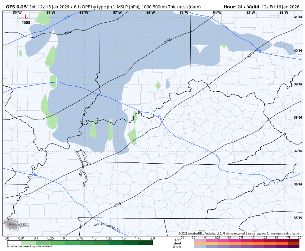
The GFS is actually in line with this…
The NAM fam went a little lighter and more disjointed…
We need to watch for the possibility this comes together a little more than the models think.
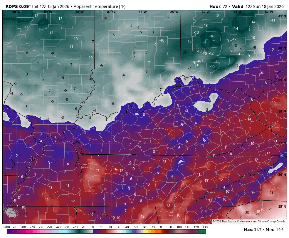
Bitterly cold temps and wind chills follow this up for Sunday…
Another update comes your way later today and I’ll have the latest on WKYT-TV starting at 4pm.. I’ll also have a few updates on my Meteorologist Chris Bailey Facebook Page
Until then, here are your tracking tools for the day…


Make it a great rest of your Thursday and take care.

Thanks Chris. Notice The Direction The Snows Are Coming From The Moist Southwest ( Gulf ) Instead Of The Dry Northwest, As We Had All Winter. Looks Like An End To La Nina’s Longtime Dominates. Saturday’s System May Be A Phased Storm ? Could Be Our First Real Accumulating Snowstorm of the Winter.
In The Coming Days, Due To Stratospheric Warming Over Siberia, Will Move West Towards Europe, Across The Atlantic, Bringing Cold / Very Cold To The East / Northeast, As Well Our Area Of The CONUS. May Be A Very Cold Start To February, And February Is Our Snowiest Month.