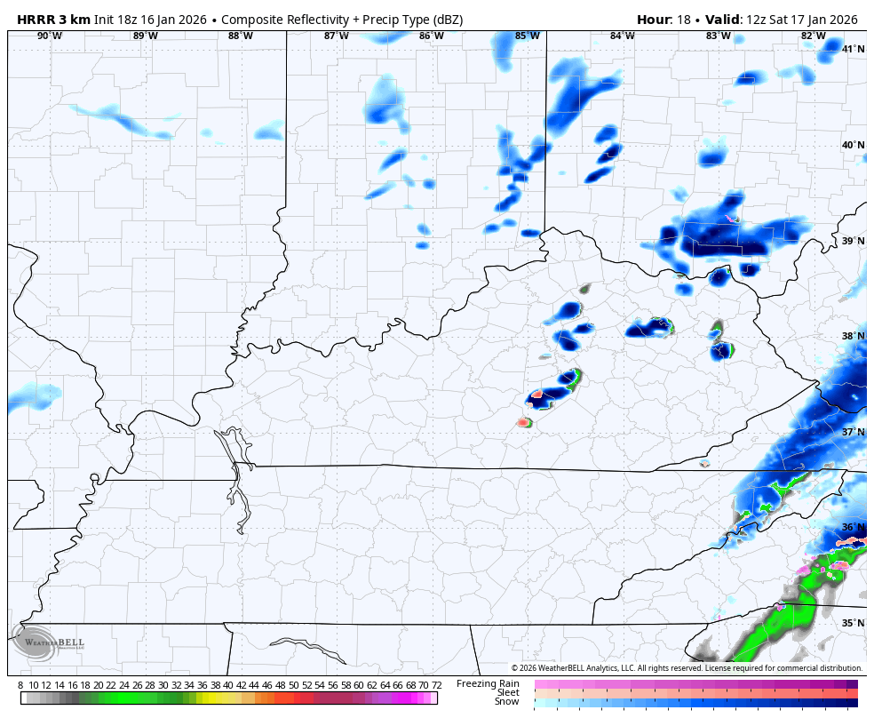
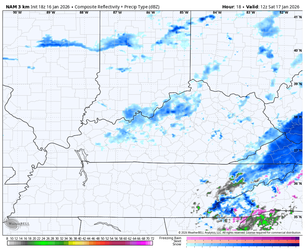
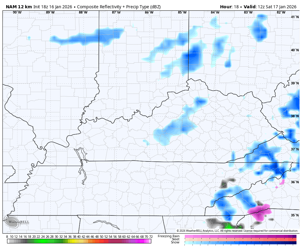
Good evening, everyone. Rain and snow continue to roll across central and eastern Kentucky, setting the stage for a light snowfall for many. This will be followed by snow showers and squalls Saturday and Saturday night as arctic air pours in.
The Winter Weather Advisory that’s out is essentially across the area we’ve been highlighting for the best chance for a few inches of snow tonight…

With marginal temps, most of the accumulations will be on the grass and elevated objects. It’s within that general area where 1″ to at the very most 4″ would show up. Outside of the Advisory, the chances for anything more than an inch are lower.
As this system moves through overnight, our attention turns to snow showers and snow squalls for Saturday. The various future radars are all picking up on these…
HRRR
HI RES NAM…
NAM…
Quick-hitting accumulations are a good bet under those squalls. The ones developing along and ahead of the late day arctic front may very well produce local whiteout conditions.
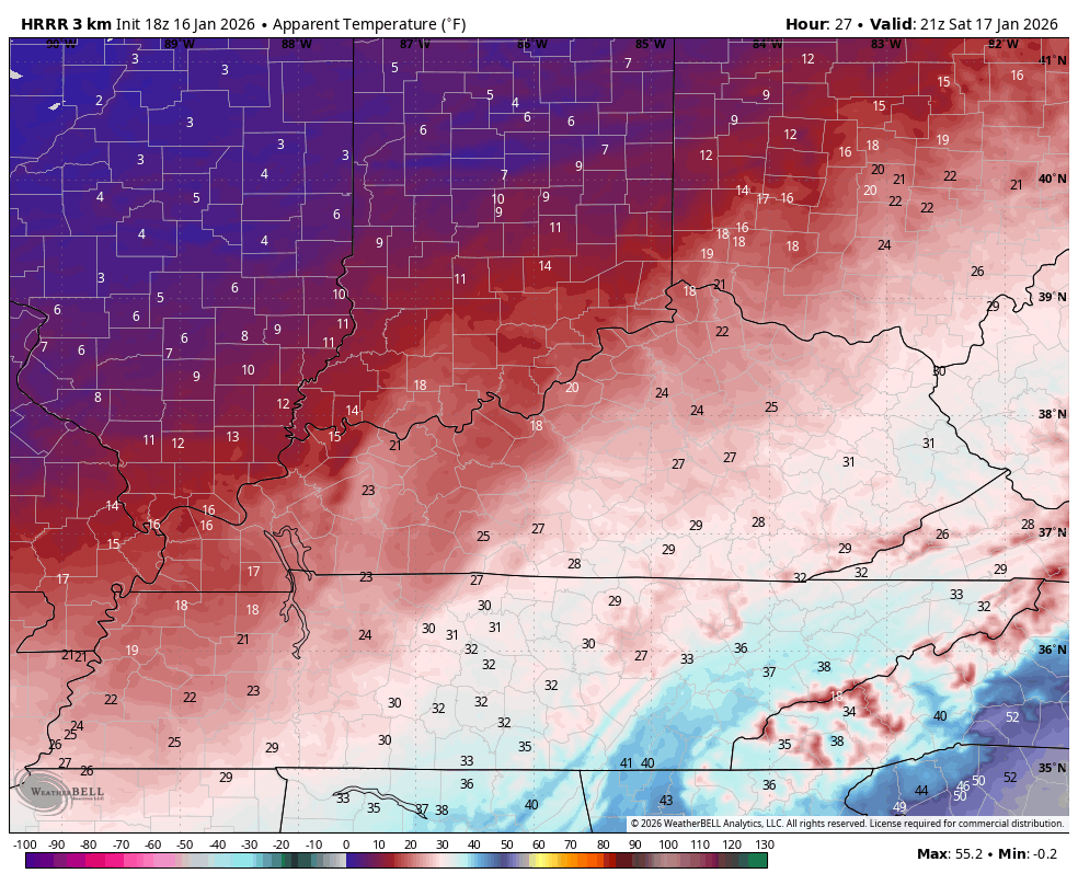
Bitterly cold wind chills then settle in behind this Saturday night and early Sunday with wind chills that can flirt with 0…
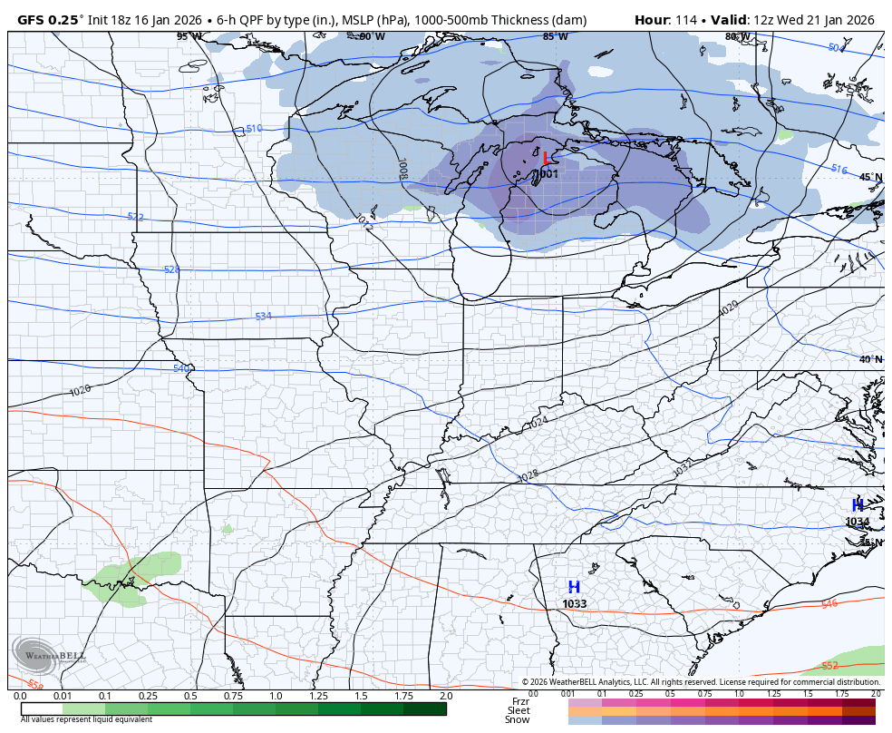
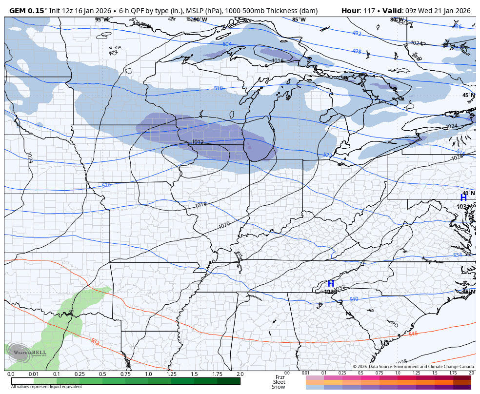
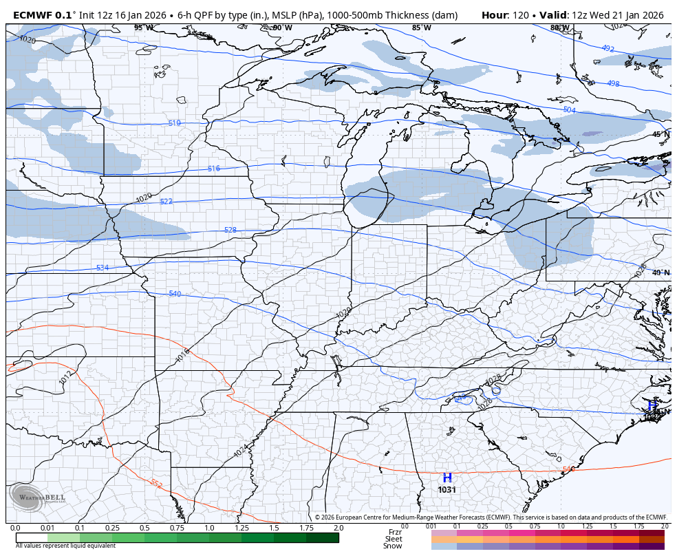
This bitter cold hangs through MLK Day into Tuesday as arctic air sets up shop across much of the country. This sets the stage for several systems to roll from west to east along the southern edge of it. The models are all seeing the potential, but don’t take them for anything other than trends…
GFS
Canadian
EURO
The full post comes your way later tonight. I’ll also have a few updates on my Meteorologist Chris Bailey Facebook Page
Until then, here are your tracking tools for the day…


Make it a great Friday and take care.
