Good Saturday to one and all. Snow showers and a few squalls are blowing across the Commonwealth today ahead of an arctic cold front. That front brings a return of bitterly cold wind chills for the next several days.
The rain on Friday held on a little longer than I thought, especially for areas south of Interstate 64, cutting down on snow totals in those areas. The moderate snow band did indeed set up, but it had a shorter shelf life.
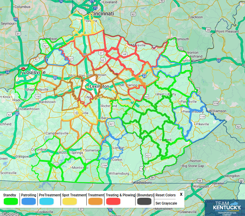
This map shows where road crews were treating and plowing in the wee hours of this morning. This gives you a good visual on where that moderate snow band set up…
The Winter Weather Advisory for this will likely expire this morning, but there’s a chance for it to get extended in a few spots to cover the snow showers and any squalls that go up today…

Those snow showers will be around this morning with another round of snow showers and a few squalls later this afternoon and evening. That’s with the arctic front blowing through here. Winds will crank as temps tank and that spells bitterly cold wind chills tonight into Sunday morning. This animation starts at 7pm today and goes through 7am Sunday…
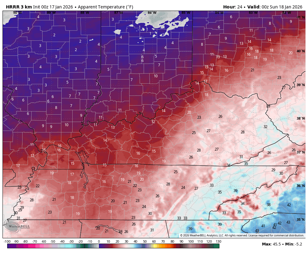
A few flurries will be flying around from time to time with the same for MLK Day Monday as another surge of arctic air blows in. Single digit wind chills on Monday may go below zero by Monday night and Tuesday morning.
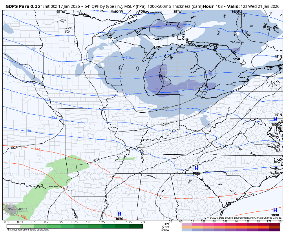
From there, we watch several systems that roll underneath a west to east oriented arctic air mass across the northern half of the country. Where these wind up is a work in progress as is any potential impact they have on our weather.
The Canadian Models see the first possibility Wednesday and Thursday…
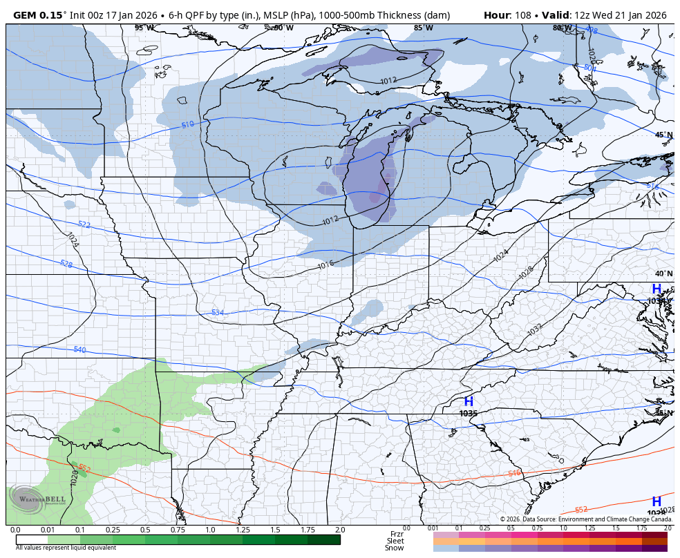
The GFS has a similar idea on the first system with the chance for a few more right after it…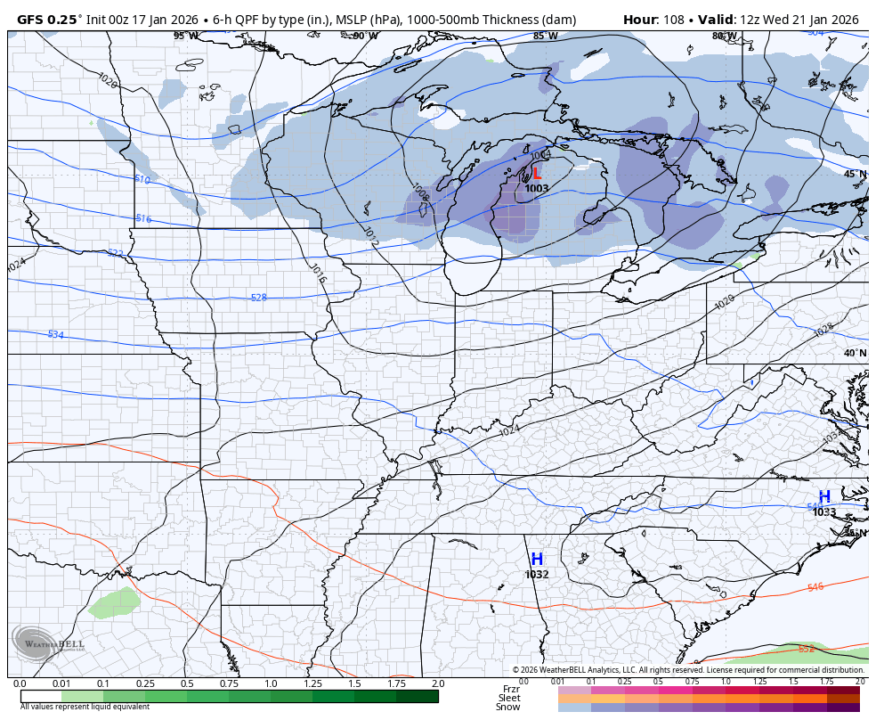
Another update or two comes your way later today.I’ll also have a few updates on my Meteorologist Chris Bailey Facebook Page
Until then, here are your tracking tools for the day…


Make it a sensational Saturday and take care.
