Good evening, everyone. It’s a bitterly cold stretch of weather across Kentucky and this is locked in for a while. This bitter cold comes with light snow chances and the opportunity for something a little bigger by the weekend.
Our Extreme Cold Warning continues for most of Kentucky tonight and early Tuesday as wind chills drop to -20 at times…
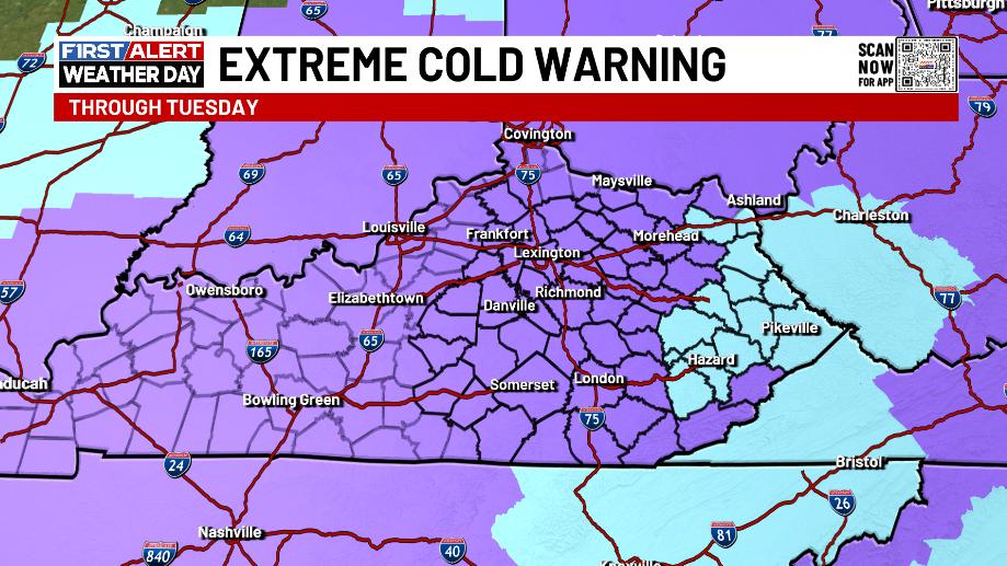
Actual lows will go below zero in many areas. This is life-threatening cold, folks.
Another arctic front arrives Tuesday afternoon and evening with a period of light accumulating snows for central and eastern Kentucky. That’s followed by another light snow system late Wednesday and Wednesday night…
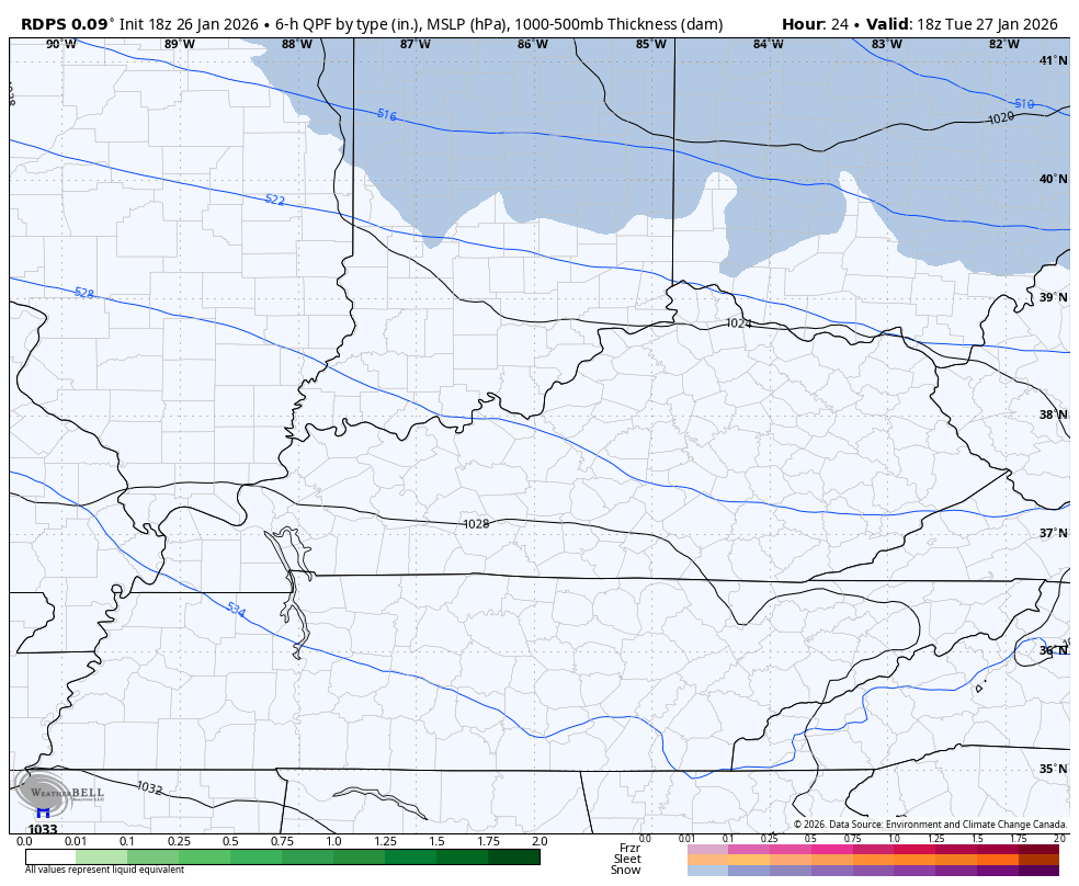
An inch or two of snow is possible with these systems.
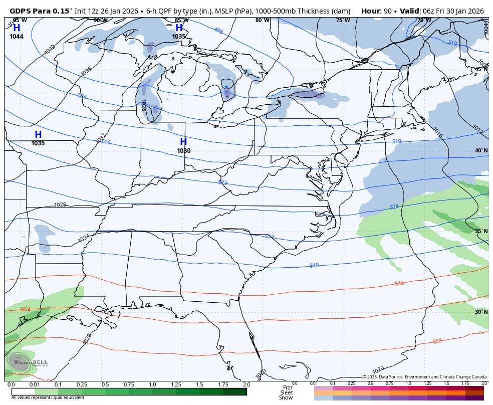
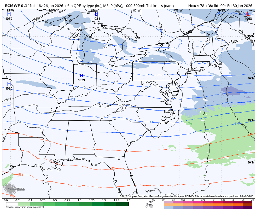
The system dropping in behind this Friday into Saturday has a lot of energy with it and should spawn another big winter storm in the eastern US. Currently, the models are east with that with only a light event with it for our region.
Here’s the Parallel Canadian…
The EURO…
The EURO AI doesn’t give precipitation types, but it’s a bit farther west and has another system behind it a few days later…
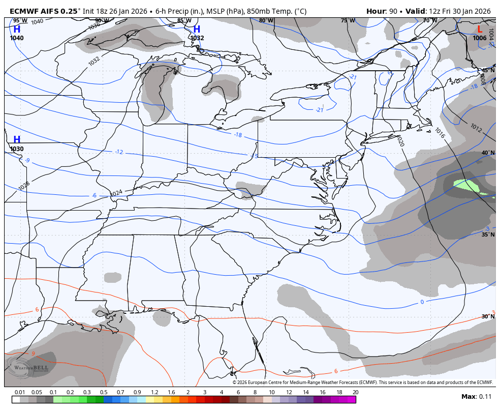
We really need to watch for a westward correction on the models over the next few days. It will not take very much of a westward movement of the disturbance dropping in to bring this much farther west.
Regardless of the snow, brutally cold air remains. This is a lot of Barney…
The full update comes later tonight. I’ll also have updates on my Meteorologist Chris Bailey Facebook Page
Until then, here are your tracking tools for the day…


Make it a great Monday and take care.

Hey I might just get snow in Hilton Head, SC later this week.