Good evening, everyone. My time is rather limited, but I promised to drop by for a quick update on the pattern ahead. In a nutshell, the bitterly cold pattern keeps rolling through the start of February with the chance for a snowmaker this weekend.
The setup with this continues to have a bullseye on the Carolinas and the Mid-Atlantic states for a shutdown snowstorm. We likely get in on some light snow from the upper low digging into this storm that may put a period of heavy snow into southeastern Kentucky.
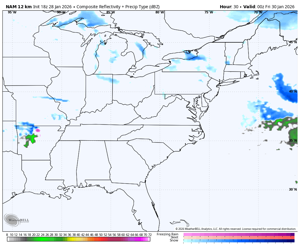
The future radar from the NAM shows all this and a healthy snow plume from Lake Michigan…
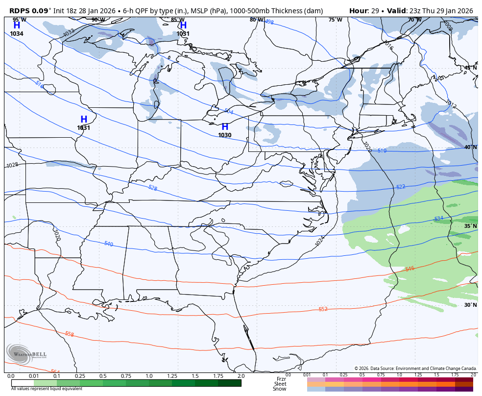
The Short Range Canadian looks like this…
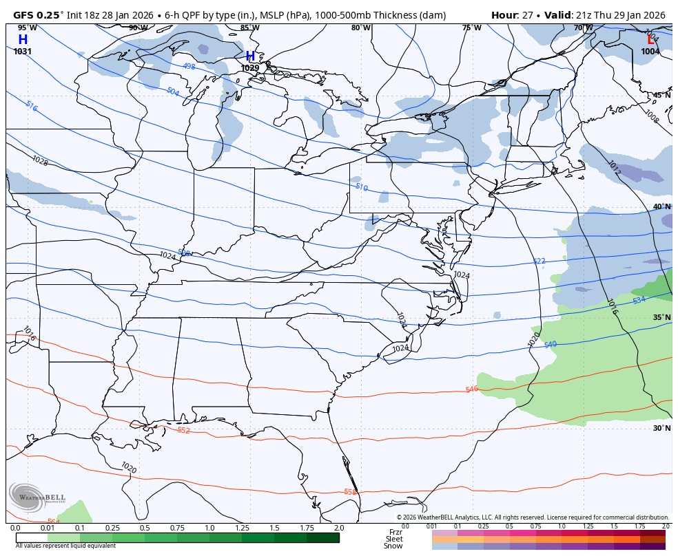
The GFS…
Again, southeastern Kentucky may very well be into a Winter Storm THREAT.
The cold coming in behind this is life-threatening. Watch the wind chill numbers from Friday evening through Saturday morning…
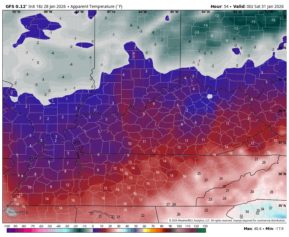
Wind chills from Saturday morning through Sunday morning are equally as brutal…

The full update comes your way later tonight. I’ll also have updates on my Meteorologist Chris Bailey Facebook Page
Until then, here are your tracking tools for the day…


Make it a wonderful Wednesday and take care.
