Good afternoon, everyone. February is off and running on a bitterly cold note as temps this morning went below zero in many areas. With a deep snow and ice pack still in place from last weekend’s winter storm, we are tracking another snow system ahead.
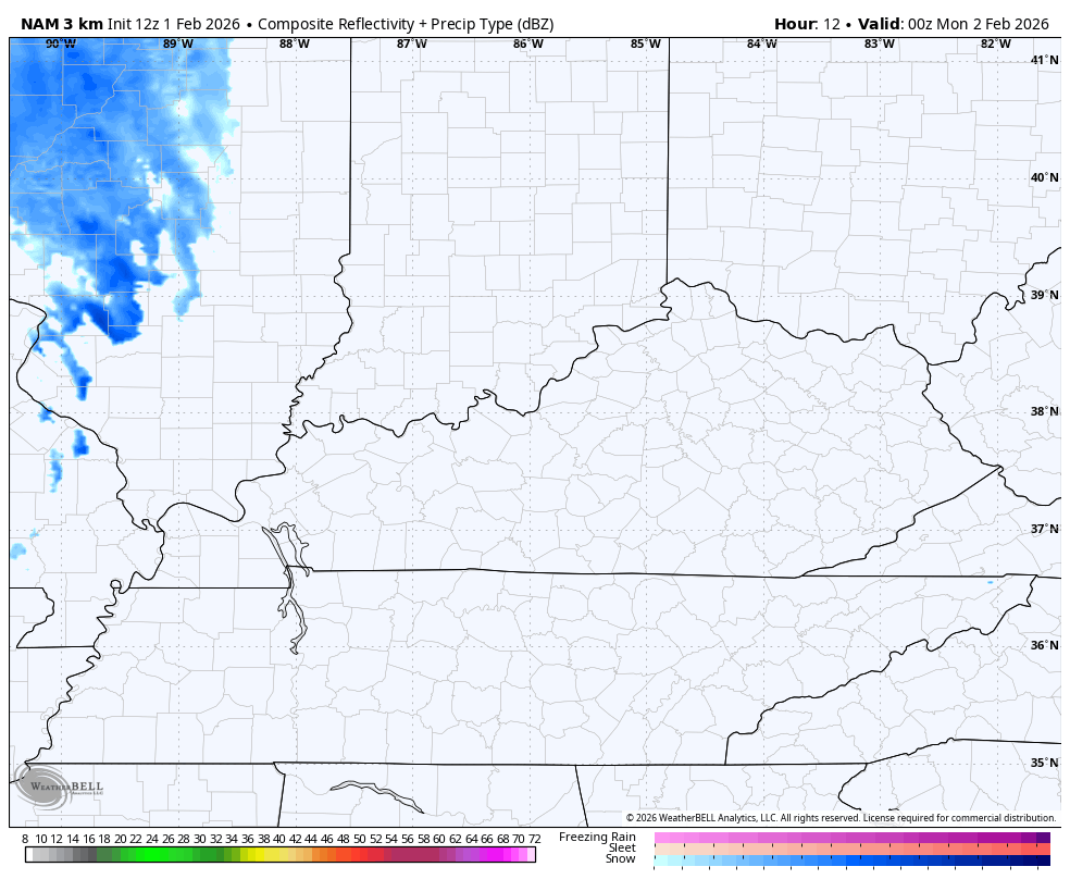
Periods of light snow and some flurries move in later tonight into Groundhog Day Monday. Here’s the Future Radar from the Hi Res NAM showing the light stuff…
The system moving in Tuesday and early Wednesday will have snow and a mix of rain and snow coming along for the ride. Areas in the south and west are more rain to start then end as snow, while a corridor to the north is all snow. That’s the area where several inches may fall.
Here’s my early look at the best chance of putting, at least, some snow on the ground…

I’ll likely have a First Call for Snowfall out later today, so check back. I’ll also have updates on my Meteorologist Chris Bailey Facebook Page
Until then, here are your tracking tools for the day…


Make it a great Sunday and take care.
