Good evening, everyone. A heavy-hitting band of snow is pushing across the state after dumping some 4″ amounts in the north and northeast. This is causing more travel headaches with more to come later tonight and into Wednesday.
The heavy band of snow is sinking south of Interstate 64 as of this writing and it will decrease somewhat. Still, this will put down a few inches of snow all the way down the Mountain Parkway and north.
We could not get the NWS to expand the Advisory into this area or northeast to Ashland, for whatever reason.
Here’s the current Advisory…

With crashing temps behind this, icy roads are a good bet in many areas tonight into Wednesday. More light snows and flurries will show up during this time with a slightly greater concentration in southeastern Kentucky.
Temps Thursday morning hit the singles with wind chills around 0.
The next system is a clipper moving in with snow showers Friday with a few lingering snow showers and flurries into Saturday…
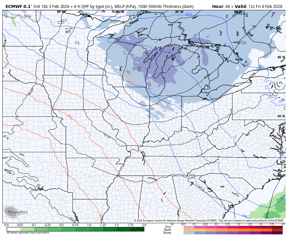
Cold temps will surge back in behind this before we warm it up next week.
Updates come your way later today. I’ll also have updates on my Meteorologist Chris Bailey Facebook Page
Until then, here are your tracking tools for the day…


Make it a terrific Tuesday and take care.

The fact that there was no advisory for Ashland is absurd. My drive home from Huntington was very eventful. The roads were in bad shape.