Good Friday, everyone. We have a clipper working through the region today, bringing another light snowfall to parts of central and eastern Kentucky. This will be followed by bitterly cold temps for the weekend before Old Man Winter takes a break into most of next week.
I have no real changes to this light snowfall that’s working into the region. The best chance for a few inches of snow is across the northeast with the initial stuff with lighter amounts the farther west you get into Central Kentucky…
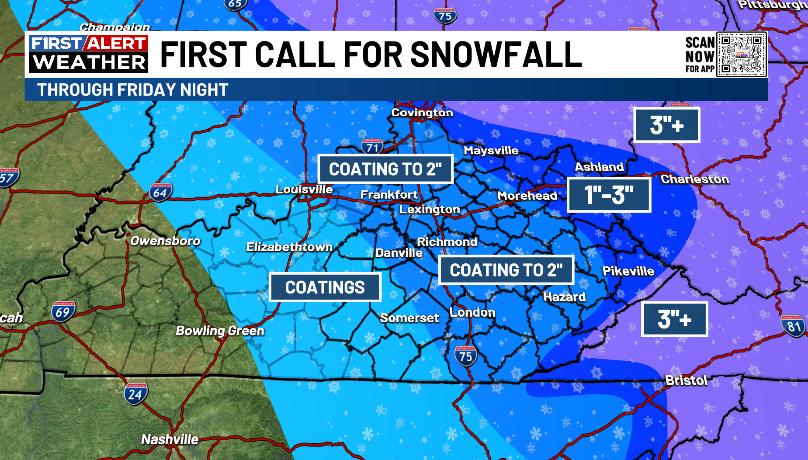
This part of the system is covered by the Winter Weather Advisory that’s out today…

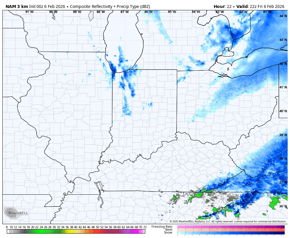
As this system exits the far southeastern mountains by early evening, the strong northwest wind means snow showers and a few snow squalls get going as the Great Lakes get involved. Lake Michigan may send some snow plumes cranking all the way into western Kentucky. This future radar from the Hi Res NAM runs from 5pm today through 10am Saturday…
Temps turn tank out there tonight into the weekend so the slushy snows will ice up pretty quickly. Wind chills by morning may hit zero or below in many areas. This wind chill animation goes from 7am to 7pm Saturday…
 There’s also another flake maker across the east into the east on Sunday.
Temps turn milder by Monday and Tuesday before another cold front cuts this warm up off at the pass. Gusty showers will sweep in ahead of a cold front with temps going below normal again by the second half of the week…
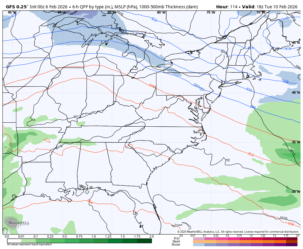
GFS
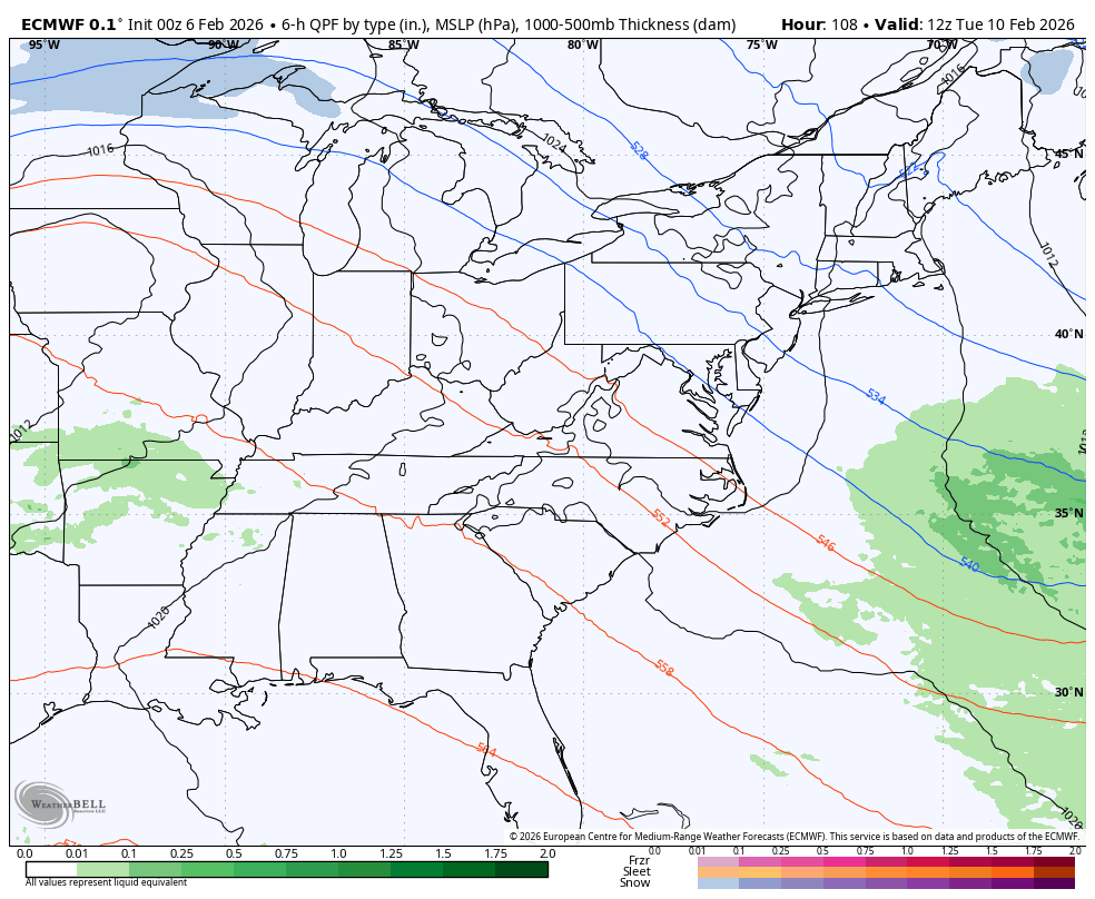
EURO
I still think the system late next week or next weekend starts to show back up on the models. If not, that means that trough in the east is pretty stout.
The latest from the Euro Weeklies continue to advertise winter hanging tough into the middle of March, at least. This is not a good look for those of us wanting an early spring…
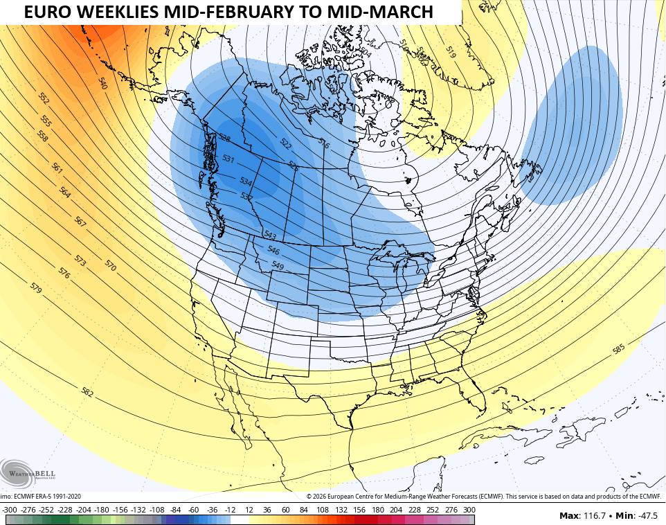
With the orientation of that trough and some semblance of a flat ridge across the southeast, it’s likely to set us up with an active storm track for our region. This means the increasing potential for a lot of precipitation…
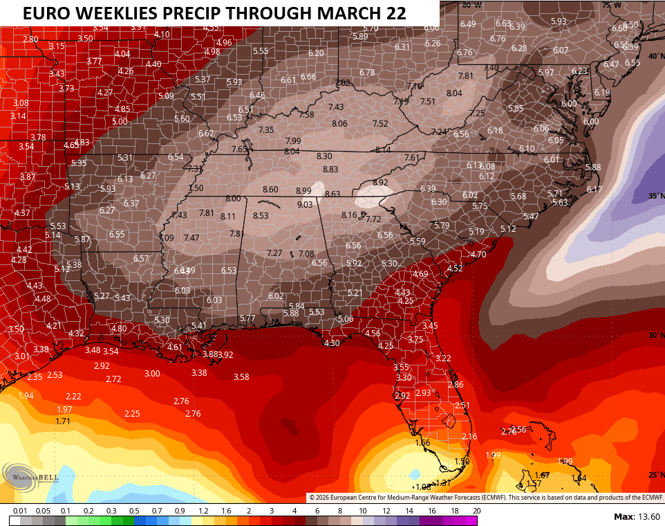
Depending on the storm track, that could brin significant amounts of rain and snow our way.
Updates come your way later today, as usual. I’ll also have updates on my Meteorologist Chris Bailey Facebook Page
Until then, here are your tracking tools for the day…


Make it a fantastic Friday and take care.
