Good evening, everyone. We’re putting the wraps on another frigid day across Kentucky as our pattern gets ready to flip around. This pattern features a milder look as we finally get set to melt this two week old snow and ice pack.
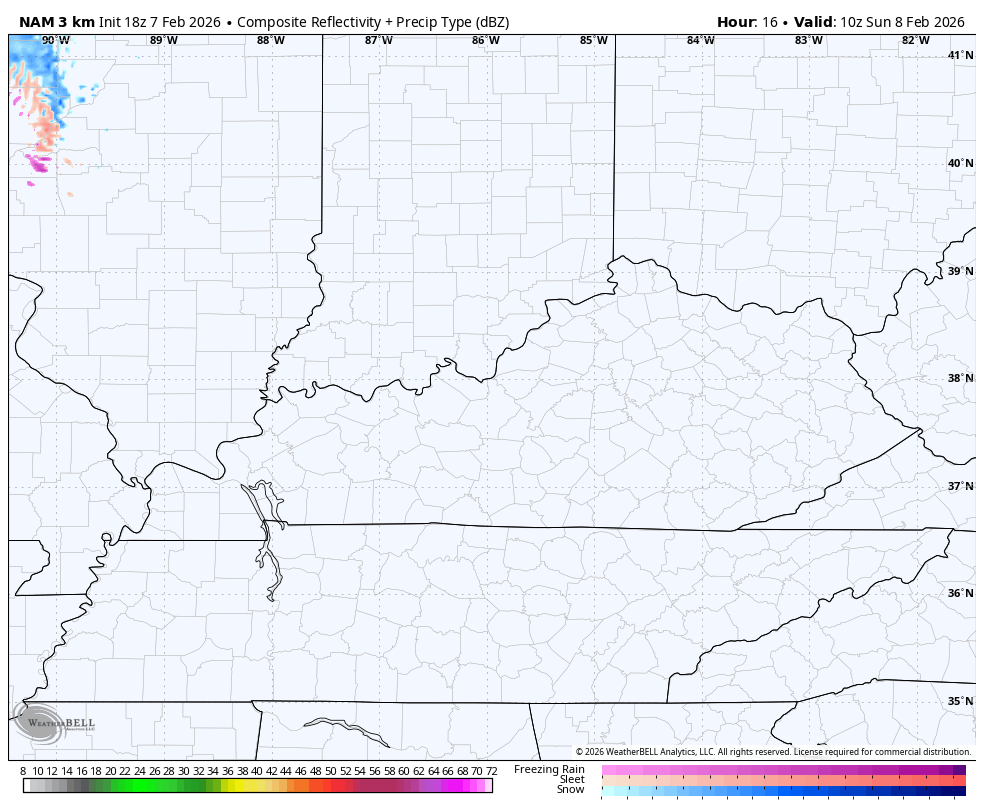
We do have one more round of light snow zipping in from northwest to southeast early Sunday. This mainly impacts parts of northern and eastern Kentucky where some local 1″ amounts will be possible.
Here’s the Hi Res NAM future radar…
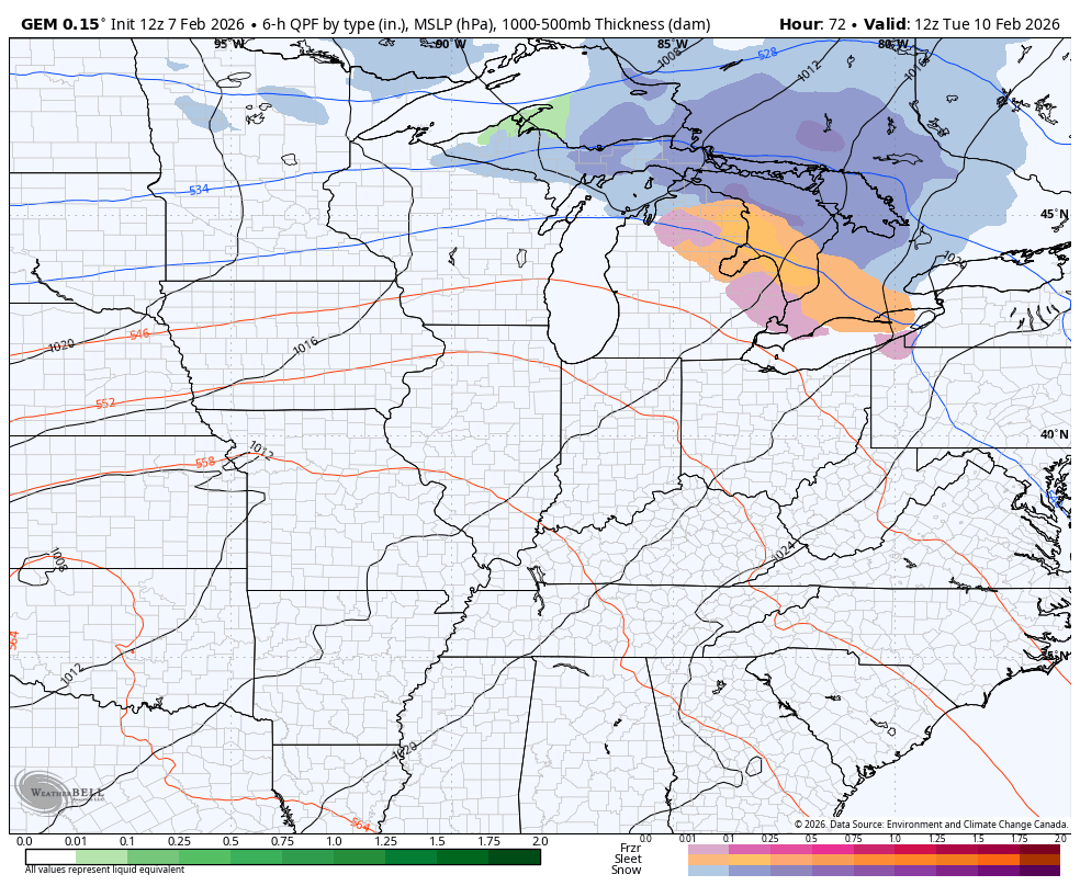
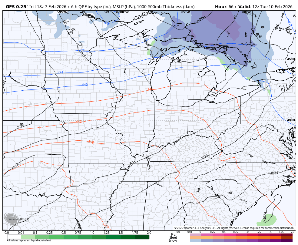
The 50s and 60s are coming for Monday and Tuesday ahead of a series of systems rolling in here from the middle of the week into next weekend. The Canadian and GFS seem to be in pretty good agreement on these…
The EURO takes that weekend system waaaaayyyy south…
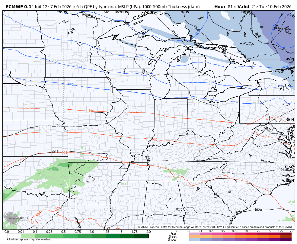
Your friendly weatherdude would settle for either solution as long as it keeps my weekend decent enough to travel.
The full update comes your way later tonight. Enjoy the evening and take care.
