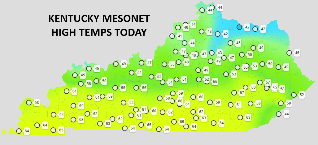
Good evening, everyone. It’s been an awesome weather day out there with temps reaching the 60s in some areas. Those numbers climb even more into Tuesday as our pattern starts to take on more of a March look and feel.
Take a look back at today’s temps. The snow pack played a massive difference…
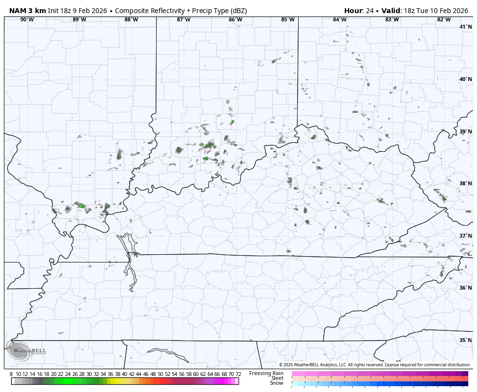
Temps on Tuesday hit 70-75 in the south and southwest with temps in the north reaching 45-50 for most. This is ahead of a cold front that spits out a line of showers rolling through here during the evening…
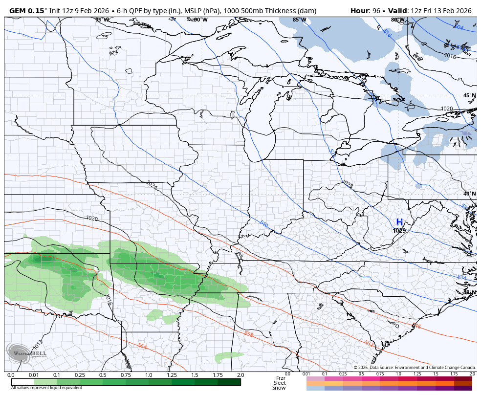
Seasonably colder air presses in for Wednesday and Thursday ahead of a bigger storm system for the weekend. We still have some differences in where this low tracks, but it continues to look more like a rain maker than anything else.
The Canadian is farthest north with this low and that means the chance for some wrapround light snows behind this system…
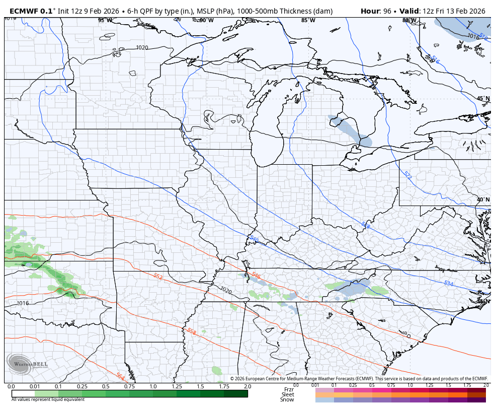
The EURO and GFS are much farther to the south with the track of this low…
EURO
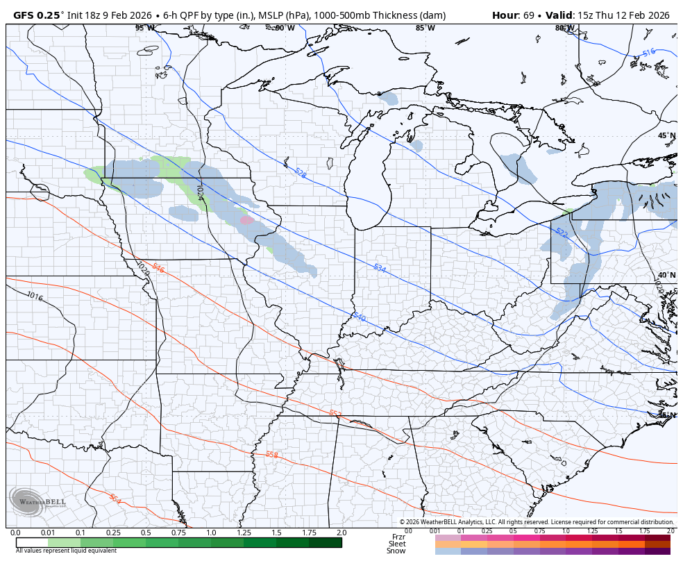
GFS
Bring me all the rain!
Milder air follows that up into early next week ahead of a winter surge later in the week.
I’ll get into all that with the full update later tonight. Make it a great one and take care.
