Good Tuesday, everyone. A surge of March has taken control of our weather out there today as temps jump ahead of a cold front dropping in. This sets the stage for a full-blown March looking and feeling pattern through next week. Lots of ups and downs with plenty of action.
Winds are cranking from the southwest today, boosting temps into the 70-75 degree range across the west and south. Farther north across the shrinking snowpack, temps will be held into the 50-55 degree range in the far north.
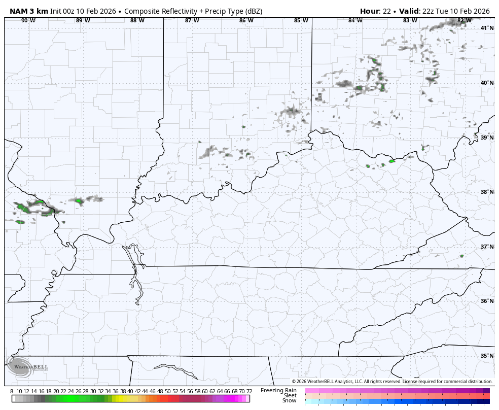
A cold front then sweeps in with gusty showers that will be more common across the southern half of the state. This future radar from the Hi Res NAM shows our showers going up this evening and moving out by Wednesday morning…
Temps come back into the normal range behind this system for Wednesday and Thursday. One weak system passes through Thursday night and early Friday with just the chance for a touch of light rain and light snow in the west. Chance is the key word.
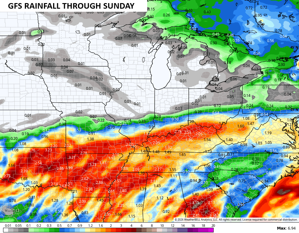
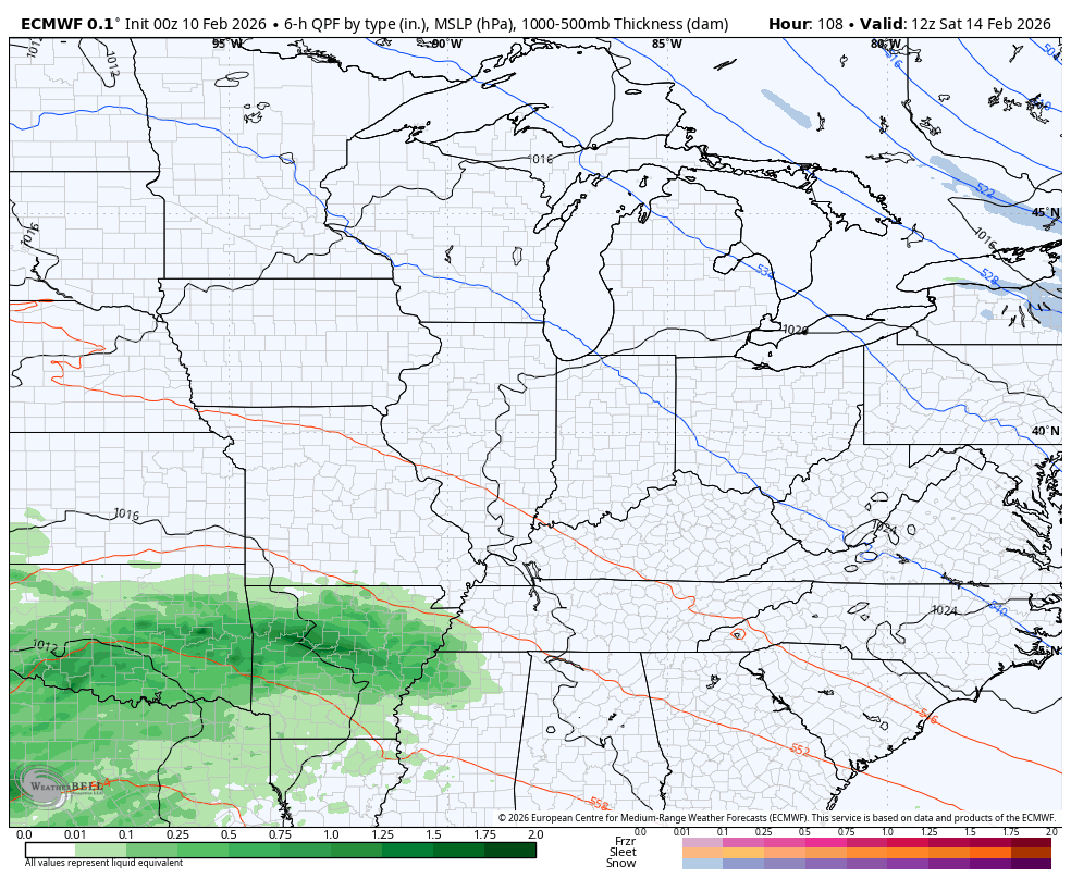
This sets the stage for a big storm system to roll through here this Valentine’s Day/Presidents Day Weekend. This one may bring a lot of rain and gusty winds to our region. Here’s how the GFS sees this…
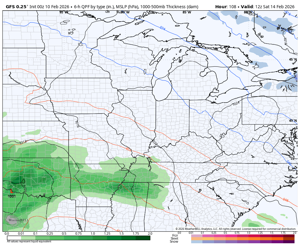
That’s a lot of rain on that run…
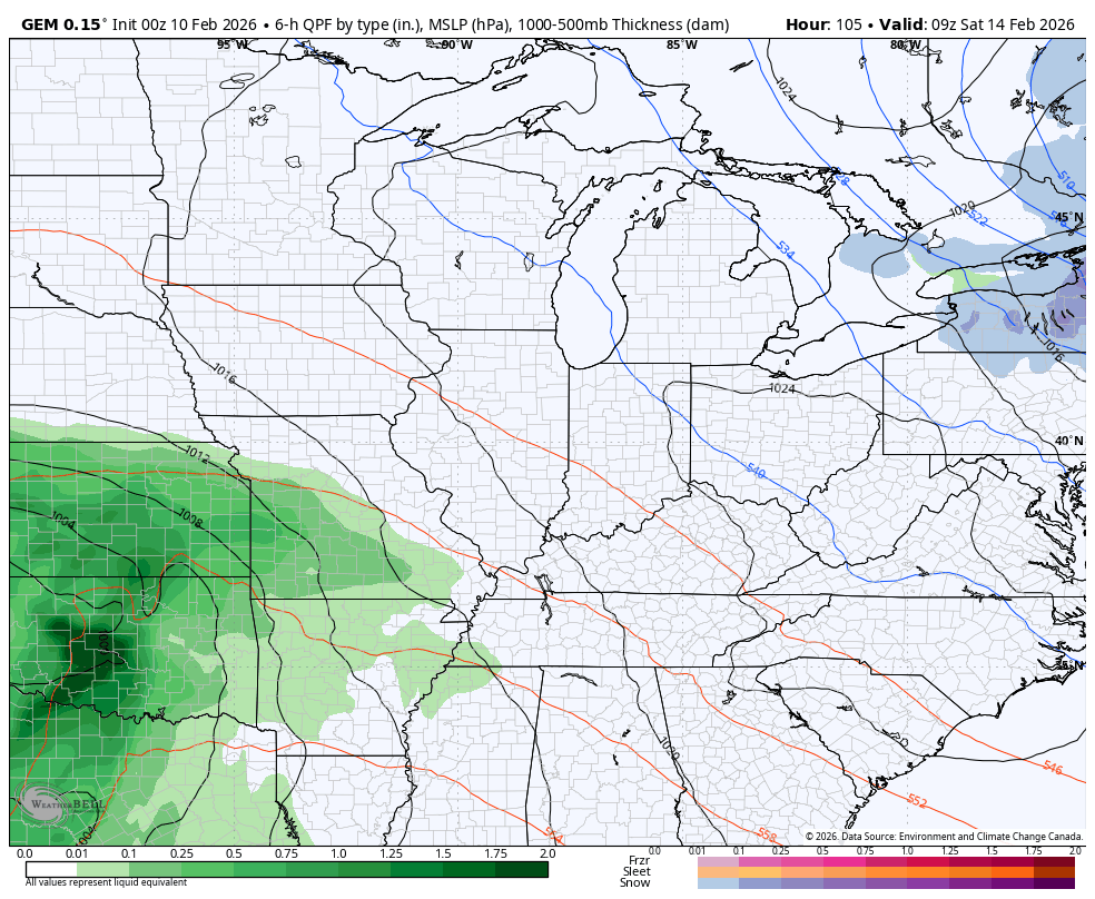
The Canadian continues to be farther northwest with the track of this low…
The Euro continues to insist on much more of a southern tracking storm system…
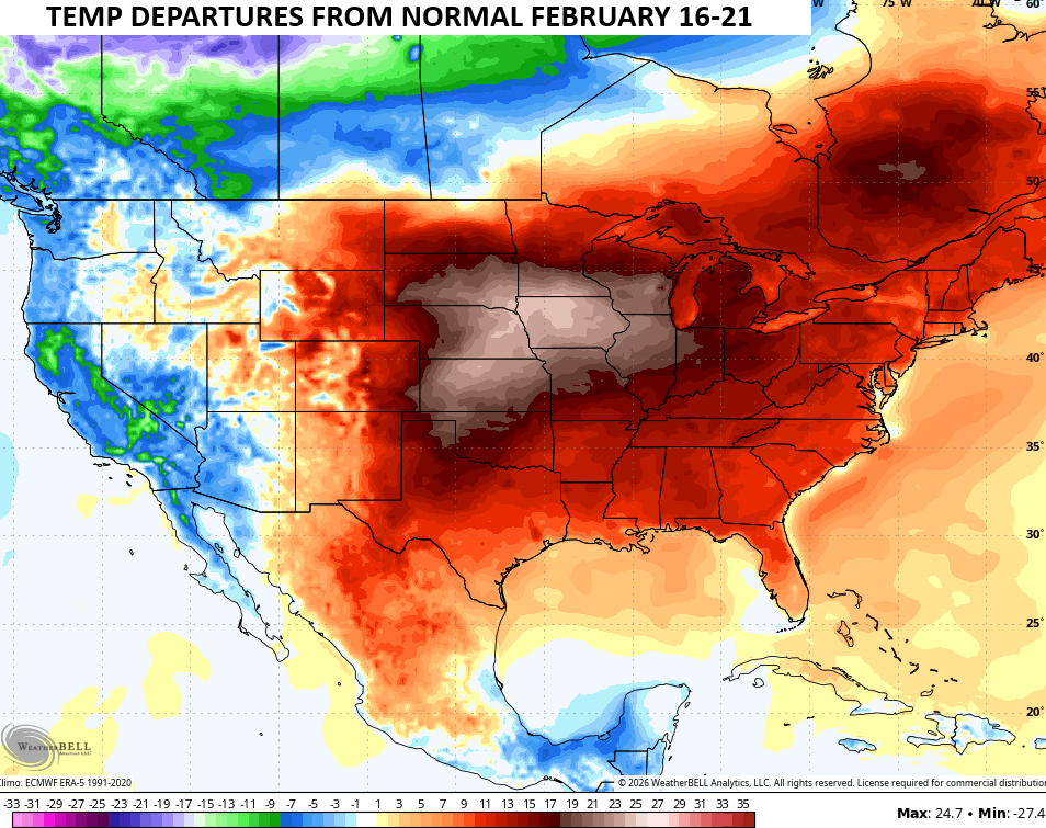
Whatever happens with this system, the pattern behind it continues to trend warmer with the potential for a full-blown spring fever alert next week…
Another update comes your way later today. I’ll also have updates on my Meteorologist Chris Bailey Facebook Page
Until then, here are your tracking tools for the day…


Make it a terrific Tuesday and take care.

You know it’s February when the roller coaster starts.
The mud on my farm is going to be ridiculous after this weekend. I suppose it’s better than skating on the ice.